Estimated Value: $108,000 - $266,000
Studio
--
Bath
980
Sq Ft
$186/Sq Ft
Est. Value
About This Home
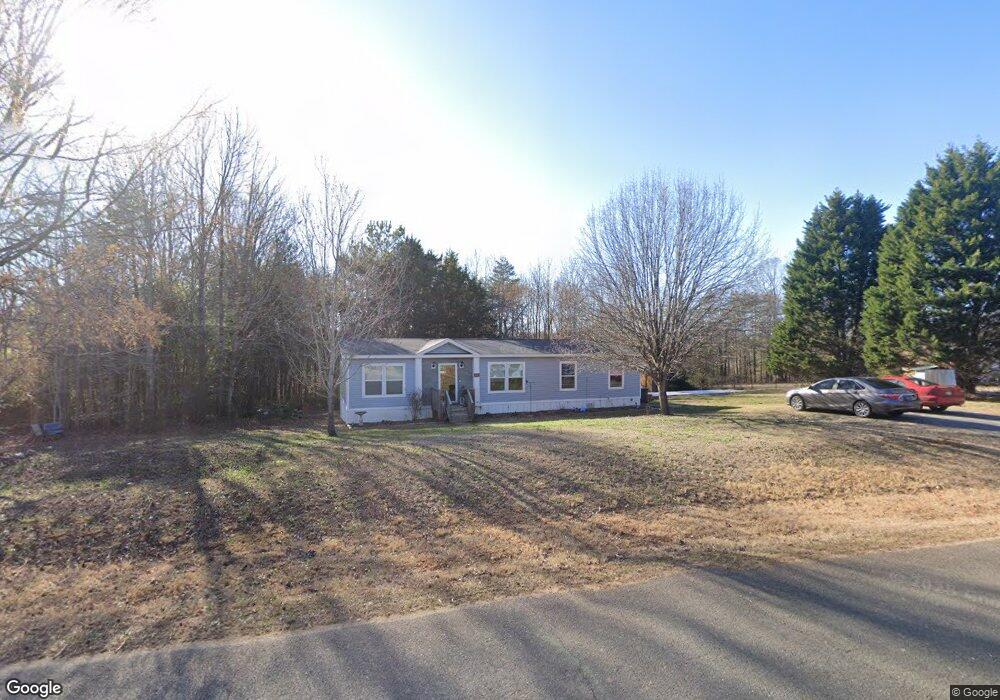
This home is located at 191 Davidson Ridge Rd, York, SC 29745 and is currently estimated at $182,221, approximately $185 per square foot. 191 Davidson Ridge Rd is a home with nearby schools including Harold C. Johnson Elementary School, York Intermediate School, and York Middle School.
Ownership History
Date
Name
Owned For
Owner Type
Purchase Details
Closed on
Dec 7, 2020
Sold by
Sorrentino Michael
Bought by
Smith Bryan Cameron and Bragg Hollie Elizabeth
Current Estimated Value
Home Financials for this Owner
Home Financials are based on the most recent Mortgage that was taken out on this home.
Original Mortgage
$141,997
Outstanding Balance
$118,685
Interest Rate
2.7%
Mortgage Type
New Conventional
Estimated Equity
$63,536
Purchase Details
Closed on
Jun 15, 2007
Sold by
Caldwell Select Homes Inc
Bought by
Sorrentino Michael
Create a Home Valuation Report for This Property
The Home Valuation Report is an in-depth analysis detailing your home's value as well as a comparison with similar homes in the area
Home Values in the Area
Average Home Value in this Area
Purchase History
| Date | Buyer | Sale Price | Title Company |
|---|---|---|---|
| Smith Bryan Cameron | $24,000 | None Available | |
| Sorrentino Michael | $24,900 | None Available |
Source: Public Records
Mortgage History
| Date | Status | Borrower | Loan Amount |
|---|---|---|---|
| Open | Smith Bryan Cameron | $141,997 |
Source: Public Records
Tax History
| Year | Tax Paid | Tax Assessment Tax Assessment Total Assessment is a certain percentage of the fair market value that is determined by local assessors to be the total taxable value of land and additions on the property. | Land | Improvement |
|---|---|---|---|---|
| 2025 | $262 | $1,520 | $1,520 | $0 |
| 2024 | $255 | $1,520 | $1,520 | $0 |
| 2023 | $260 | $1,520 | $1,520 | $0 |
| 2022 | $928 | $2,280 | $2,280 | $0 |
| 2021 | -- | $2,766 | $2,280 | $486 |
| 2020 | $1,010 | $2,553 | $0 | $0 |
| 2019 | $914 | $2,220 | $0 | $0 |
| 2018 | $883 | $2,220 | $0 | $0 |
| 2017 | $848 | $2,220 | $0 | $0 |
| 2016 | $833 | $2,220 | $0 | $0 |
| 2014 | $785 | $2,220 | $1,680 | $540 |
| 2013 | $785 | $2,280 | $1,680 | $600 |
Source: Public Records
Map
Nearby Homes
- 3041 Dr Nichols Rd
- 3374 Waterbrook Dr
- 1821 Sherrer Rd
- 1644 Hunters Place Rd
- 214 Hedgecrest Ln
- 310 Little Daisy Ln
- Tbd Wood Rd
- 500 Pearl Place Ln
- 1241 State Road S-46-817
- 2345 Kingsburry Rd
- 7591 Charlotte Hwy
- 291 Rippling Creek Dr
- 0.53 Jim McCarter Rd
- 556 Peaceful Creek Dr
- 1489 S Paraham Rd
- 1909 Charlotte Hwy
- 3107 Balkan Dr
- 6677 Campbell Rd
- 204 Vanderbilt Dr
- 6328 Four Knights Ln
- 185 Davidson Ridge Rd
- 197 Davidson Ridge Rd
- 607 Marney Ln Unit 24
- 190 Davidson Ridge Rd
- 196 Davidson Ridge Rd
- 184 Davidson Ridge Rd
- 173 Davidson Ridge Rd
- 202 Davidson Ridge Rd
- 611 Marney Ln
- 404 Marie Ct
- 209 Davidson Ridge Rd
- 178 Davidson Ridge Rd
- 172 Davidson Ridge Rd
- 615 Marney Ln
- 606 Marney Ln
- 412 Marie Ct
- 163 Davidson Ridge Rd
- 217 Davidson Ridge Rd
- 405 Marie Ct
- 610 Marney Ln
Your Personal Tour Guide
Ask me questions while you tour the home.