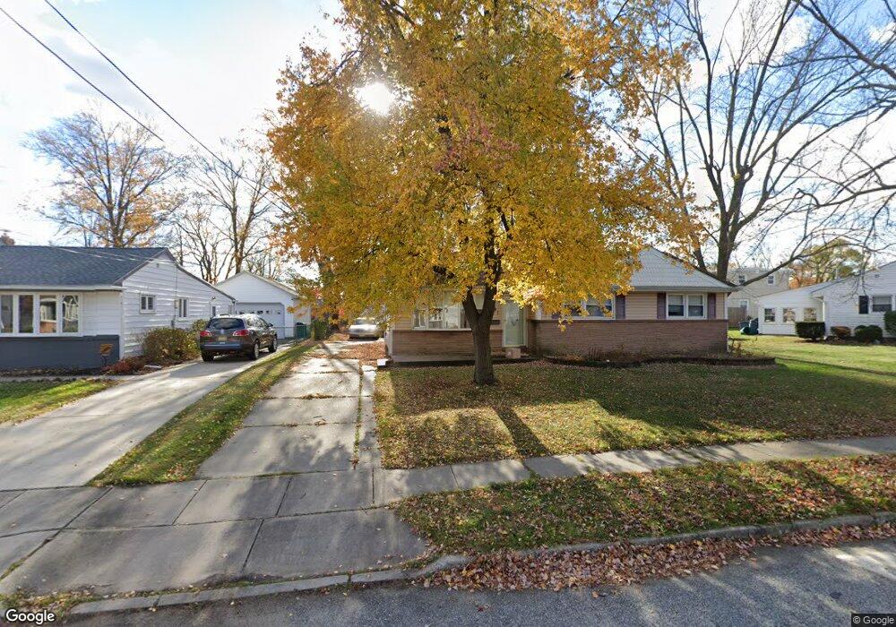
191 Ford Ave West Deptford, NJ 08096
West Deptford Township NeighborhoodEstimated Value: $281,975 - $316,000
3
Beds
1
Bath
974
Sq Ft
$307/Sq Ft
Est. Value
About This Home
This home is located at 191 Ford Ave, West Deptford, NJ 08096 and is currently estimated at $298,994, approximately $306 per square foot. 191 Ford Ave is a home located in Gloucester County with nearby schools including Oakview Elementary School, Red Bank Elementary School, and Green-Fields Elementary School.
Ownership History
Date
Name
Owned For
Owner Type
Purchase Details
Closed on
Feb 25, 2010
Sold by
Schlagle Marlene P
Bought by
Pennell Franklyn D
Current Estimated Value
Home Financials for this Owner
Home Financials are based on the most recent Mortgage that was taken out on this home.
Original Mortgage
$186,558
Outstanding Balance
$126,816
Interest Rate
5.5%
Mortgage Type
FHA
Estimated Equity
$172,178
Purchase Details
Closed on
Nov 15, 2001
Sold by
Delpiano Mary J and Adams Margaret M
Bought by
Schlagle Richard T and Schlagle Marlene P
Home Financials for this Owner
Home Financials are based on the most recent Mortgage that was taken out on this home.
Original Mortgage
$94,254
Interest Rate
6.7%
Mortgage Type
FHA
Create a Home Valuation Report for This Property
The Home Valuation Report is an in-depth analysis detailing your home's value as well as a comparison with similar homes in the area
Home Values in the Area
Average Home Value in this Area
Purchase History
| Date | Buyer | Sale Price | Title Company |
|---|---|---|---|
| Pennell Franklyn D | $190,000 | Foundation Title Llc | |
| Schlagle Richard T | $95,000 | -- |
Source: Public Records
Mortgage History
| Date | Status | Borrower | Loan Amount |
|---|---|---|---|
| Open | Pennell Franklyn D | $186,558 | |
| Previous Owner | Schlagle Richard T | $94,254 |
Source: Public Records
Tax History Compared to Growth
Tax History
| Year | Tax Paid | Tax Assessment Tax Assessment Total Assessment is a certain percentage of the fair market value that is determined by local assessors to be the total taxable value of land and additions on the property. | Land | Improvement |
|---|---|---|---|---|
| 2025 | $5,619 | $160,900 | $51,100 | $109,800 |
| 2024 | $5,546 | $160,900 | $51,100 | $109,800 |
| 2023 | $5,546 | $160,900 | $51,100 | $109,800 |
| 2022 | $5,520 | $160,900 | $51,100 | $109,800 |
| 2021 | $5,285 | $160,900 | $51,100 | $109,800 |
| 2020 | $5,488 | $160,900 | $51,100 | $109,800 |
| 2019 | $5,335 | $160,900 | $51,100 | $109,800 |
| 2018 | $5,191 | $160,900 | $51,100 | $109,800 |
| 2017 | $5,070 | $160,900 | $51,100 | $109,800 |
| 2016 | $4,928 | $160,900 | $51,100 | $109,800 |
| 2015 | $4,923 | $168,700 | $58,900 | $109,800 |
| 2014 | $4,678 | $168,700 | $58,900 | $109,800 |
Source: Public Records
Map
Nearby Homes
- 182 Covington Ln
- 1185 Lawnton Ave
- 1174 Harker Ave
- 575 Lawnton Ave
- 112 Progress Ave
- 210 Lawnton Ave
- 125 Crescent Ave
- 121 Crescent Ave
- 815 Harker Ave
- 131 Watkins Ave
- 57 Hessian Ave
- 1234 Lincoln Ave
- 54 Hessian Ave
- 719 Shields Ave
- 27 Progress Ave
- 1337 Lincoln Ave
- 1346 Verga Ave
- 1359 Crown Point Rd
- 654 Frances Ave
- 13 Dubois Ave