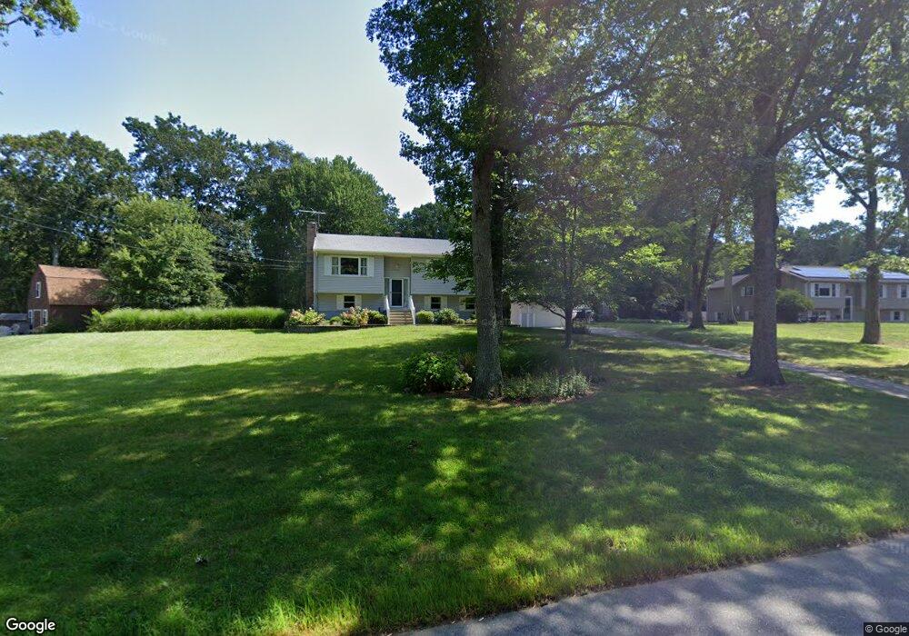
191 Forsyth Rd Oakdale, CT 06370
Estimated Value: $451,000 - $522,000
3
Beds
3
Baths
1,980
Sq Ft
$245/Sq Ft
Est. Value
About This Home
This home is located at 191 Forsyth Rd, Oakdale, CT 06370 and is currently estimated at $485,652, approximately $245 per square foot. 191 Forsyth Rd is a home located in New London County with nearby schools including Leonard J. Tyl Middle School and Montville High School.
Ownership History
Date
Name
Owned For
Owner Type
Purchase Details
Closed on
Aug 18, 1981
Bought by
Sarber Harold F and Sarber Billie Dawn
Current Estimated Value
Create a Home Valuation Report for This Property
The Home Valuation Report is an in-depth analysis detailing your home's value as well as a comparison with similar homes in the area
Home Values in the Area
Average Home Value in this Area
Purchase History
| Date | Buyer | Sale Price | Title Company |
|---|---|---|---|
| Sarber Harold F | $73,000 | -- |
Source: Public Records
Tax History
| Year | Tax Paid | Tax Assessment Tax Assessment Total Assessment is a certain percentage of the fair market value that is determined by local assessors to be the total taxable value of land and additions on the property. | Land | Improvement |
|---|---|---|---|---|
| 2025 | $6,445 | $223,230 | $35,070 | $188,160 |
| 2024 | $6,199 | $223,230 | $35,070 | $188,160 |
| 2023 | $6,199 | $223,230 | $35,070 | $188,160 |
| 2022 | $5,962 | $223,230 | $35,070 | $188,160 |
| 2021 | $6,029 | $189,890 | $36,000 | $153,890 |
| 2020 | $6,180 | $190,870 | $36,000 | $154,870 |
| 2019 | $6,205 | $190,870 | $36,000 | $154,870 |
| 2018 | $6,056 | $190,870 | $36,000 | $154,870 |
| 2017 | $6,051 | $190,870 | $36,000 | $154,870 |
| 2016 | $5,721 | $188,390 | $43,620 | $144,770 |
| 2015 | $5,721 | $188,390 | $43,620 | $144,770 |
| 2014 | $5,533 | $188,390 | $43,620 | $144,770 |
Source: Public Records
Map
Nearby Homes
- 2 Syleo Ln
- 489 Chapel Hill Rd
- 33A Laurel Point Dr
- 33D Laurel Point Dr
- 52 Lake View Ave
- 1486 Route 163
- 29 Church Rd
- 139 Forsyth Rd
- 73 Horse Pond Rd Unit H
- 83 Horse Pond Rd Unit B
- 115 Cottage Rd
- 496 New London Rd
- 51 Beechwood Rd
- 455 Chesterfield Rd
- 8 Hickory Dr
- 27 Woodland Dr
- 343 Old Colchester Rd Unit R
- 306 Old Colchester Rd Unit 197
- 113 Skyline Dr
- 167 Round Hill Rd
Your Personal Tour Guide
Ask me questions while you tour the home.