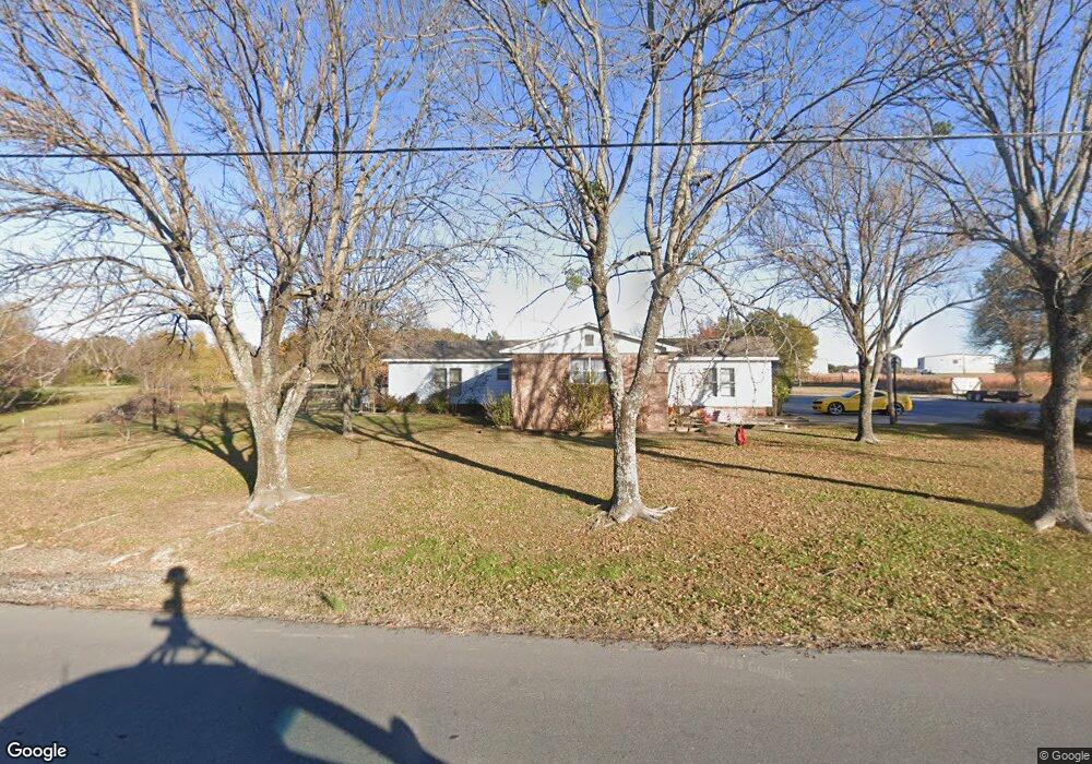
191 Frink Rd McAlester, OK 74501
Estimated Value: $140,000 - $287,000
3
Beds
2
Baths
1,596
Sq Ft
$120/Sq Ft
Est. Value
About This Home
This home is located at 191 Frink Rd, McAlester, OK 74501 and is currently estimated at $191,220, approximately $119 per square foot. 191 Frink Rd is a home located in Pittsburg County with nearby schools including Mcalester Christian Academy.
Ownership History
Date
Name
Owned For
Owner Type
Purchase Details
Closed on
Feb 12, 2013
Sold by
Harrison James Donald
Bought by
Harrison James Donald and Vieux Karen
Current Estimated Value
Home Financials for this Owner
Home Financials are based on the most recent Mortgage that was taken out on this home.
Original Mortgage
$87,134
Outstanding Balance
$60,827
Interest Rate
3.38%
Mortgage Type
Purchase Money Mortgage
Estimated Equity
$130,393
Create a Home Valuation Report for This Property
The Home Valuation Report is an in-depth analysis detailing your home's value as well as a comparison with similar homes in the area
Home Values in the Area
Average Home Value in this Area
Purchase History
| Date | Buyer | Sale Price | Title Company |
|---|---|---|---|
| Harrison James Donald | -- | None Available | |
| Harrison James Donald | $120,000 | None Available |
Source: Public Records
Mortgage History
| Date | Status | Borrower | Loan Amount |
|---|---|---|---|
| Open | Harrison James Donald | $87,134 |
Source: Public Records
Tax History Compared to Growth
Tax History
| Year | Tax Paid | Tax Assessment Tax Assessment Total Assessment is a certain percentage of the fair market value that is determined by local assessors to be the total taxable value of land and additions on the property. | Land | Improvement |
|---|---|---|---|---|
| 2024 | $347 | $5,631 | $976 | $4,655 |
| 2023 | $347 | $5,468 | $974 | $4,494 |
| 2022 | $337 | $5,308 | $971 | $4,337 |
| 2021 | $337 | $5,308 | $968 | $4,340 |
| 2020 | $312 | $5,004 | $1,078 | $3,926 |
| 2019 | $302 | $5,004 | $1,078 | $3,926 |
| 2018 | $290 | $4,717 | $1,078 | $3,639 |
| 2017 | $283 | $4,579 | $1,078 | $3,501 |
| 2016 | $273 | $4,446 | $1,078 | $3,368 |
| 2015 | $258 | $4,446 | $1,078 | $3,368 |
| 2014 | $258 | $4,446 | $1,078 | $3,368 |
Source: Public Records
Map
Nearby Homes
- 0 Hulsey Prairie Unit 2524999
- 0 Hulsey Prairie Unit 2524853
- 0 S Main St
- 00 S Us Highway 69
- 2544 Shuman Rd
- 3101 Hardy Springs Rd
- 706 Cedar Ridge Dr
- 3001 Hardy Springs Rd
- 3526 Hardy Springs Rd
- 3100 Hardy Springs Rd
- 2705 Brookside Cir
- 2706 Brookside Cir
- 3201 Hardy Springs Rd
- 1904 Sandpiper St
- 1905 Whippoorwill Ave
- 0 Hardy Springs Cir
- 1910 Cardinal Ln
- 0 Finch Dr Unit 2529207
- 2708 Hardy Springs Rd
- 157 Canna Ln