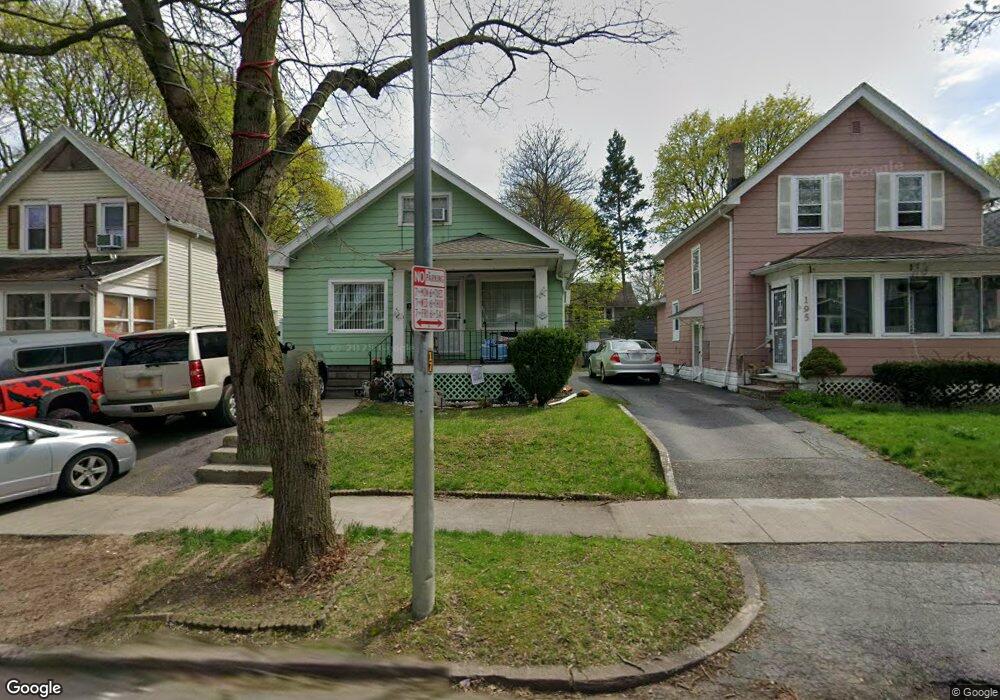
191 Furlong St Rochester, NY 14621
Northeast Rochester NeighborhoodEstimated Value: $124,000 - $175,000
4
Beds
1
Bath
1,294
Sq Ft
$109/Sq Ft
Est. Value
About This Home
This home is located at 191 Furlong St, Rochester, NY 14621 and is currently estimated at $141,451, approximately $109 per square foot. 191 Furlong St is a home located in Monroe County with nearby schools including School 39-Andrew J. Townson, Mary McLeod Bethune School No. 45, and School 25 Nathaniel Hawthorne.
Ownership History
Date
Name
Owned For
Owner Type
Purchase Details
Closed on
Oct 31, 2011
Sold by
Ortiz Carlos L
Bought by
Montero Jose David and Jimenez Wanda
Current Estimated Value
Purchase Details
Closed on
Nov 12, 2002
Sold by
Lombardo James V
Bought by
Ortiz Carlos L
Purchase Details
Closed on
Aug 7, 2000
Sold by
Lombardo James V
Bought by
Lombardo James V
Purchase Details
Closed on
Oct 14, 1998
Sold by
Calnan Martha B
Bought by
Lombardo James and Marrero Jose
Create a Home Valuation Report for This Property
The Home Valuation Report is an in-depth analysis detailing your home's value as well as a comparison with similar homes in the area
Home Values in the Area
Average Home Value in this Area
Purchase History
| Date | Buyer | Sale Price | Title Company |
|---|---|---|---|
| Montero Jose David | $31,000 | None Available | |
| Ortiz Carlos L | $24,000 | Robert Stevens | |
| Lombardo James V | -- | -- | |
| Lombardo James | $26,400 | -- |
Source: Public Records
Tax History Compared to Growth
Tax History
| Year | Tax Paid | Tax Assessment Tax Assessment Total Assessment is a certain percentage of the fair market value that is determined by local assessors to be the total taxable value of land and additions on the property. | Land | Improvement |
|---|---|---|---|---|
| 2024 | $1,002 | $97,100 | $7,400 | $89,700 |
| 2023 | $604 | $43,000 | $3,700 | $39,300 |
| 2022 | $623 | $43,000 | $3,700 | $39,300 |
| 2021 | $640 | $43,000 | $3,700 | $39,300 |
| 2020 | $583 | $43,000 | $3,700 | $39,300 |
| 2019 | $475 | $35,000 | $3,700 | $31,300 |
| 2018 | $0 | $35,000 | $3,700 | $31,300 |
| 2017 | $0 | $35,000 | $3,700 | $31,300 |
| 2016 | $616 | $35,000 | $3,700 | $31,300 |
| 2015 | $1,236 | $36,000 | $3,700 | $32,300 |
| 2014 | $1,236 | $36,000 | $3,700 | $32,300 |
Source: Public Records
Map
Nearby Homes
- 146 Delamaine Dr
- 152 Delamaine Dr
- 187-189 Delamaine Dr
- 120 Barberry Terrace
- 63 Dickinson St
- 318-320 Durnan St
- 1001-1005 Portland Ave
- 212 Saint Stanislaus St
- 46 Oneida St
- 256 Durnan St
- 46 Baird St
- 50 Manchester St
- 24 Jackson St
- 35-37 Jackson St
- 81 Cynthia Ln
- 51 Sylvester St
- 212 Lux St
- 226 Lux St
- 83 Holbrooke St
- 1482 Norton St