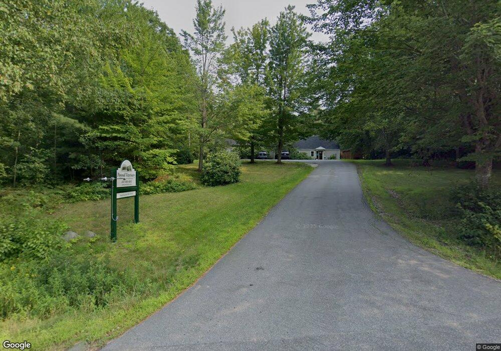
191 Hallowell Rd Pownal, ME 04069
Estimated Value: $661,876 - $752,000
4
Beds
2
Baths
1,428
Sq Ft
$484/Sq Ft
Est. Value
About This Home
This home is located at 191 Hallowell Rd, Pownal, ME 04069 and is currently estimated at $691,469, approximately $484 per square foot. 191 Hallowell Rd is a home located in Cumberland County with nearby schools including Freeport High School and Maine Coast Waldorf School.
Ownership History
Date
Name
Owned For
Owner Type
Purchase Details
Closed on
Jul 13, 2010
Sold by
Richter Hall Karen
Bought by
Pownal Veterinary Re Llc
Current Estimated Value
Home Financials for this Owner
Home Financials are based on the most recent Mortgage that was taken out on this home.
Original Mortgage
$200,000
Interest Rate
4.78%
Mortgage Type
Commercial
Create a Home Valuation Report for This Property
The Home Valuation Report is an in-depth analysis detailing your home's value as well as a comparison with similar homes in the area
Home Values in the Area
Average Home Value in this Area
Purchase History
| Date | Buyer | Sale Price | Title Company |
|---|---|---|---|
| Pownal Veterinary Re Llc | -- | -- | |
| Richter Hall Karen | -- | -- |
Source: Public Records
Mortgage History
| Date | Status | Borrower | Loan Amount |
|---|---|---|---|
| Open | Richter Hall Karen | $141,000 | |
| Closed | Richter Hall Karen | $200,000 | |
| Closed | Richter Hall Karen | $140,000 |
Source: Public Records
Tax History Compared to Growth
Tax History
| Year | Tax Paid | Tax Assessment Tax Assessment Total Assessment is a certain percentage of the fair market value that is determined by local assessors to be the total taxable value of land and additions on the property. | Land | Improvement |
|---|---|---|---|---|
| 2024 | $7,691 | $452,400 | $75,100 | $377,300 |
| 2023 | $5,385 | $285,700 | $62,600 | $223,100 |
| 2022 | $5,143 | $285,700 | $62,600 | $223,100 |
| 2021 | $5,143 | $285,700 | $62,600 | $223,100 |
| 2020 | $5,143 | $285,700 | $62,600 | $223,100 |
| 2019 | $5,228 | $285,700 | $62,600 | $223,100 |
| 2018 | $5,143 | $285,700 | $62,600 | $223,100 |
| 2017 | $4,928 | $285,700 | $62,600 | $223,100 |
| 2016 | $4,714 | $285,700 | $62,600 | $223,100 |
| 2015 | $5,633 | $166,900 | $18,700 | $148,200 |
| 2014 | $5,758 | $166,900 | $18,700 | $148,200 |
| 2013 | $5,800 | $166,900 | $18,700 | $148,200 |
Source: Public Records
Map
Nearby Homes
- 238 Hallowell Rd
- 118 Royal Rd
- 162 Merrill Rd
- 890 Elmwood Rd
- 395 New Gloucester Rd
- 0 New Gloucester Rd
- 026-01 Dow Ln
- 244 Allen Rd
- 284 Allen Rd
- 79 Birchwood Terrace
- 4 Harper's Trail
- 304 Pownal Rd
- 247 Ledge Rd
- 53 Ridgewood Ln
- 15 Sequoia Dr
- 31 Sequoia Dr
- 118 Lufkin Rd
- 160 Memorial Hwy
- 850 Lawrence Rd
- 137 Durham Rd
- 183 Hallowell Rd
- 199 Hallowell Rd
- 186 Hallowell Rd
- 194 Loring Ln
- 167 Hallowell Rd
- 193 Loring Ln
- 212 Hallowell Rd
- 223 Hallowell Rd
- 230 Hallowell Rd
- 167 Loring Ln
- 239 Hallowell Rd
- 133 Hallowell Rd
- TBD Loring Ln
- 132 Hallowell Rd
- 148 Loring Ln
- 246 Hallowell Rd
- 249 Hallowell Rd
- 142 Loring Ln
- 145 Loring Ln
- 262 Hallowell Rd