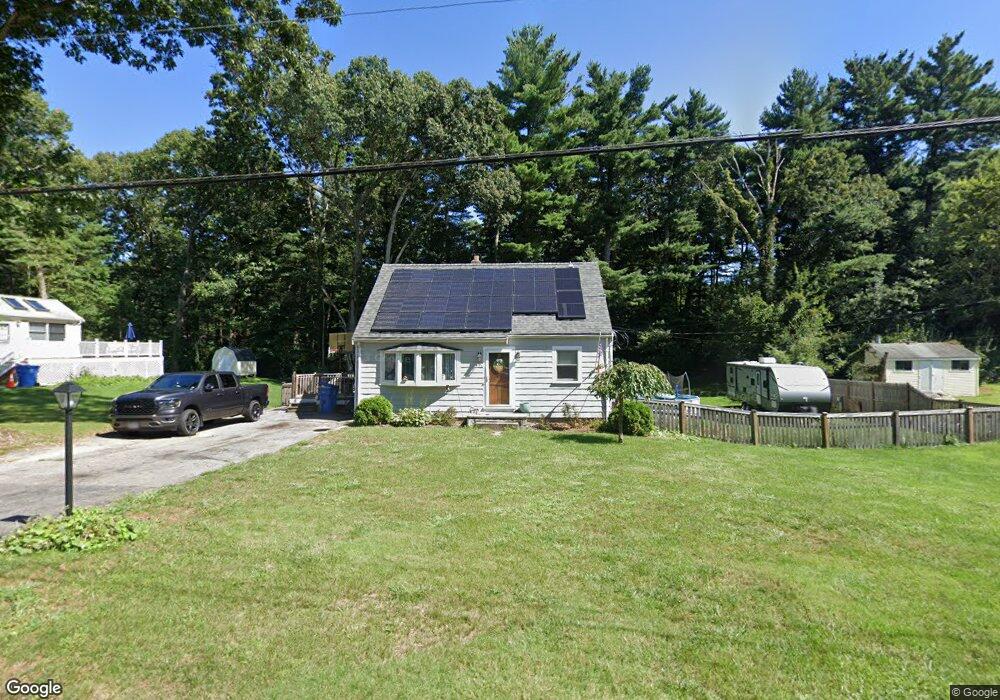
191 Janice Cir Wrentham, MA 02093
Estimated Value: $502,407 - $572,000
3
Beds
1
Bath
1,080
Sq Ft
$486/Sq Ft
Est. Value
About This Home
This home is located at 191 Janice Cir, Wrentham, MA 02093 and is currently estimated at $525,102, approximately $486 per square foot. 191 Janice Cir is a home located in Norfolk County with nearby schools including Delaney Elementary School and Charles E Roderick.
Ownership History
Date
Name
Owned For
Owner Type
Purchase Details
Closed on
Feb 18, 2010
Sold by
Tomes Kevin and Tomes Emily G
Bought by
Tomes Emily G and Tomes Kevin
Current Estimated Value
Purchase Details
Closed on
Apr 30, 2009
Sold by
Viola Elizabeth A
Bought by
Greaves Emily H and Tomes Kevin
Home Financials for this Owner
Home Financials are based on the most recent Mortgage that was taken out on this home.
Original Mortgage
$242,673
Interest Rate
4.86%
Mortgage Type
Purchase Money Mortgage
Create a Home Valuation Report for This Property
The Home Valuation Report is an in-depth analysis detailing your home's value as well as a comparison with similar homes in the area
Purchase History
| Date | Buyer | Sale Price | Title Company |
|---|---|---|---|
| Tomes Emily G | -- | -- | |
| Greaves Emily H | $265,000 | -- |
Source: Public Records
Mortgage History
| Date | Status | Borrower | Loan Amount |
|---|---|---|---|
| Previous Owner | Greaves Emily H | $242,673 |
Source: Public Records
Tax History
| Year | Tax Paid | Tax Assessment Tax Assessment Total Assessment is a certain percentage of the fair market value that is determined by local assessors to be the total taxable value of land and additions on the property. | Land | Improvement |
|---|---|---|---|---|
| 2025 | $5,759 | $496,900 | $294,700 | $202,200 |
| 2024 | $5,569 | $464,100 | $294,700 | $169,400 |
| 2023 | $5,244 | $415,500 | $267,900 | $147,600 |
| 2022 | $4,481 | $327,800 | $206,200 | $121,600 |
| 2021 | $4,661 | $331,300 | $216,000 | $115,300 |
| 2020 | $4,484 | $314,700 | $194,800 | $119,900 |
| 2019 | $4,146 | $293,600 | $179,900 | $113,700 |
| 2018 | $3,957 | $277,900 | $171,000 | $106,900 |
| 2017 | $3,753 | $263,400 | $167,700 | $95,700 |
| 2016 | $3,666 | $256,700 | $162,800 | $93,900 |
| 2015 | $3,597 | $240,100 | $156,500 | $83,600 |
| 2014 | $3,345 | $218,500 | $138,000 | $80,500 |
Source: Public Records
Map
Nearby Homes
- 15 Tilting Rock Rd
- 10 Nature View Dr
- 15 Nature View Dr
- 576 Dedham St
- 282 Thurston St
- 1 Weber Farm Rd Unit 1
- 4 Weber Farm Rd Unit 4
- 6 Weber Farm Rd Unit 6
- 11 Weber Farm Rd Unit 11
- 8 Weber Farm Rd Unit 8
- 30 Weber Farm Rd Unit 30
- 25 Foxboro Rd
- 135 Creek St Unit 2
- 483 Thurston St
- 9 Sharon Ave
- 11 Sharon Ave
- 3 Earle Stewart Ln
- 500 Franklin St
- 2 Earle Stewart Ln
- 0 W Birch Rd
- 183 Janice Cir
- 199 Janice Cir
- 186 Janice Cir
- 198 Janice Cir
- 162 Janice Cir
- 201 Janice Cir
- 175 Janice Cir
- 218 Janice Cir
- 85 King James Way
- 207 Janice Cir
- 215 Janice Cir
- 75 King James Way
- 95 King James Way
- 154 Janice Cir
- 167 Janice Cir
- 226 Janice Cir
- 105 King James Way
- 159 Janice Cir
- 223 Janice Cir
- 136 Hamilton Rd
Your Personal Tour Guide
Ask me questions while you tour the home.