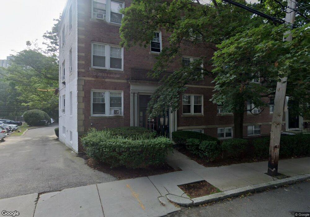
191 Kent St Unit A Brookline, MA 02446
Coolidge Corner NeighborhoodEstimated Value: $637,000 - $1,279,937
2
Beds
1
Bath
587
Sq Ft
$1,814/Sq Ft
Est. Value
About This Home
This home is located at 191 Kent St Unit A, Brookline, MA 02446 and is currently estimated at $1,064,646, approximately $1,813 per square foot. 191 Kent St Unit A is a home located in Norfolk County with nearby schools including Amos A. Lawrence School, Brookline High School, and St. Mary of the Assumption Elementary School.
Ownership History
Date
Name
Owned For
Owner Type
Purchase Details
Closed on
Jul 24, 2000
Sold by
Zuker Tr Edward E
Bought by
Zuker Tr Robert M and Zuker Edward E
Current Estimated Value
Create a Home Valuation Report for This Property
The Home Valuation Report is an in-depth analysis detailing your home's value as well as a comparison with similar homes in the area
Home Values in the Area
Average Home Value in this Area
Purchase History
| Date | Buyer | Sale Price | Title Company |
|---|---|---|---|
| Zuker Tr Robert M | $102,300 | -- |
Source: Public Records
Tax History Compared to Growth
Tax History
| Year | Tax Paid | Tax Assessment Tax Assessment Total Assessment is a certain percentage of the fair market value that is determined by local assessors to be the total taxable value of land and additions on the property. | Land | Improvement |
|---|---|---|---|---|
| 2025 | $11,536 | $1,168,800 | $0 | $1,168,800 |
| 2024 | $11,195 | $1,145,900 | $0 | $1,145,900 |
| 2023 | $11,357 | $1,139,100 | $0 | $1,139,100 |
| 2022 | $11,380 | $1,116,800 | $0 | $1,116,800 |
| 2021 | $10,837 | $1,105,800 | $0 | $1,105,800 |
| 2020 | $10,347 | $1,094,900 | $0 | $1,094,900 |
| 2019 | $9,770 | $1,042,700 | $0 | $1,042,700 |
| 2018 | $9,224 | $975,100 | $0 | $975,100 |
| 2017 | $8,921 | $902,900 | $0 | $902,900 |
| 2016 | $8,405 | $806,600 | $0 | $806,600 |
| 2015 | $7,832 | $733,300 | $0 | $733,300 |
| 2014 | $7,314 | $642,100 | $0 | $642,100 |
Source: Public Records
Map
Nearby Homes
- 216 Aspinwall Ave
- 214 Aspinwall Ave Unit 2
- 55 Harrison St Unit 2
- 15 Francis St Unit 33
- 65 Francis St Unit 65
- 65 Francis St
- 67 Francis St Unit 67
- 151 Longwood Ave Unit 1
- 56-58 Perry St Unit 4
- 57 Saint Paul St Unit 19
- 106 Brook St
- 37 Saint Paul St Unit 3
- 20 Chapel St Unit B712
- 20 Chapel St Unit B811
- 58 Kent St Unit 302
- 58 Kent St Unit 404
- 58 Kent St Unit 305
- 58 Kent St Unit 303
- 120 Brook St Unit 1
- 386 Riverway Unit 4
- 175 Kent St Unit 4A
- 191 Kent St Unit 6
- 191 Kent St Unit 5
- 191 Kent St Unit 4
- 191 Kent St Unit 3
- 191 Kent St Unit 2
- 191 Kent St Unit 1
- 175 Kent St Unit 6
- 175 Kent St Unit 5
- 175 Kent St Unit 4
- 175 Kent St Unit 3
- 175 Kent St Unit 2
- 175 Kent St Unit 1
- 175 Kent St Unit B
- 175 Kent St Unit A
- 191 Kent St Unit ID1238044P
- 191 Kent St Unit ID1237993P
- 191 Kent St Unit ID1238024P
- 191 Kent St Unit ID1238057P
- 191 Kent St Unit ID1051616P