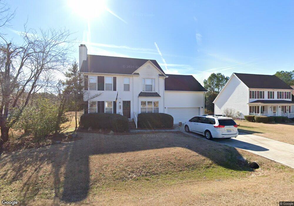
191 Kings Way Angier, NC 27501
Estimated Value: $310,899 - $328,000
3
Beds
3
Baths
1,946
Sq Ft
$164/Sq Ft
Est. Value
About This Home
This home is located at 191 Kings Way, Angier, NC 27501 and is currently estimated at $318,975, approximately $163 per square foot. 191 Kings Way is a home located in Harnett County with nearby schools including Angier Elementary School, North Harnett Primary School, and Harnett Central Middle School.
Ownership History
Date
Name
Owned For
Owner Type
Purchase Details
Closed on
Apr 23, 2025
Sold by
Rh Partners Ownerco Llc
Bought by
Rh Partners Ownerco 2 Llc
Current Estimated Value
Purchase Details
Closed on
Feb 19, 2019
Sold by
Safari One Asset Company Llc
Bought by
Safari Two Asset Company Llc
Home Financials for this Owner
Home Financials are based on the most recent Mortgage that was taken out on this home.
Original Mortgage
$132,743,013
Interest Rate
4.4%
Mortgage Type
Commercial
Purchase Details
Closed on
Apr 27, 2017
Sold by
Eph 2 Assets Llc
Bought by
Safari One Asset Company Llc
Purchase Details
Closed on
May 9, 2016
Sold by
Mccorkell Richard
Bought by
Eph 2 Assets Llc
Purchase Details
Closed on
Jun 15, 2005
Sold by
Weathersbee Carol W
Bought by
Mccorkell Richard and Mccorkell Ronnerr
Create a Home Valuation Report for This Property
The Home Valuation Report is an in-depth analysis detailing your home's value as well as a comparison with similar homes in the area
Home Values in the Area
Average Home Value in this Area
Purchase History
| Date | Buyer | Sale Price | Title Company |
|---|---|---|---|
| Rh Partners Ownerco 2 Llc | -- | Stewart Title | |
| Rh Partners Ownerco 2 Llc | -- | Stewart Title | |
| Safari Two Asset Company Llc | -- | Westcor Land Title Ins Co | |
| Safari One Asset Company Llc | $201,000 | None Available | |
| Eph 2 Assets Llc | $127,500 | -- | |
| Mccorkell Richard | $141,000 | None Available |
Source: Public Records
Mortgage History
| Date | Status | Borrower | Loan Amount |
|---|---|---|---|
| Previous Owner | Safari Two Asset Company Llc | $132,743,013 |
Source: Public Records
Tax History Compared to Growth
Tax History
| Year | Tax Paid | Tax Assessment Tax Assessment Total Assessment is a certain percentage of the fair market value that is determined by local assessors to be the total taxable value of land and additions on the property. | Land | Improvement |
|---|---|---|---|---|
| 2025 | $1,184 | $162,596 | $0 | $0 |
| 2024 | $1,184 | $162,596 | $0 | $0 |
| 2023 | $1,168 | $162,596 | $0 | $0 |
| 2022 | $1,373 | $162,596 | $0 | $0 |
| 2021 | $1,373 | $157,120 | $0 | $0 |
| 2020 | $1,373 | $157,120 | $0 | $0 |
| 2019 | $1,358 | $157,120 | $0 | $0 |
| 2018 | $1,358 | $157,120 | $0 | $0 |
| 2017 | $1,358 | $157,120 | $0 | $0 |
| 2016 | $1,267 | $145,970 | $0 | $0 |
| 2015 | $1,267 | $145,970 | $0 | $0 |
| 2014 | $1,267 | $145,970 | $0 | $0 |
Source: Public Records
Map
Nearby Homes
- 90 Stone Apiary Dr
- 32 Red Clover Dr
- 33 Stone Apiary Dr
- 28 Red Clover Dr
- 20 Red Clover Dr
- 16 Red Clover Dr
- 57 Stone Apiary Dr
- 24 Red Clover Dr
- 65 Stone Apiary Dr
- 78 Stone Apiary Dr
- 38 Red Clover Dr
- 50 Stone Apairy Dr
- 15 Stone Apairy Dr
- 100 Stone Apiary Dr
- 113 Stone Apairy Dr
- 105 Stone Apairy Dr
- 73 Stone Apairy Dr
- 100 Stone Apairy Dr
- 93 Stone Apairy Dr
- 78 Stone Apairy Dr