191 Looper Trail Dawsonville, GA 30534
Dawson County NeighborhoodEstimated Value: $499,000 - $680,209
--
Bed
--
Bath
1,512
Sq Ft
$391/Sq Ft
Est. Value
About This Home
This home is located at 191 Looper Trail, Dawsonville, GA 30534 and is currently estimated at $591,736, approximately $391 per square foot. 191 Looper Trail is a home with nearby schools including Riverview Elementary School, Dawson County Middle School, and Dawson County Junior High School.
Ownership History
Date
Name
Owned For
Owner Type
Purchase Details
Closed on
Aug 24, 2006
Sold by
Not Provided
Bought by
Looper Carl Leonard
Current Estimated Value
Purchase Details
Closed on
Mar 2, 2001
Sold by
Harris Karen L
Bought by
Looper Edith
Purchase Details
Closed on
Oct 30, 1984
Sold by
Looper Karen
Bought by
Harris Karen L
Purchase Details
Closed on
Nov 25, 1967
Bought by
Looper Leonard
Create a Home Valuation Report for This Property
The Home Valuation Report is an in-depth analysis detailing your home's value as well as a comparison with similar homes in the area
Home Values in the Area
Average Home Value in this Area
Purchase History
| Date | Buyer | Sale Price | Title Company |
|---|---|---|---|
| Looper Carl Leonard | -- | -- | |
| Looper Edith | -- | -- | |
| Harris Karen L | -- | -- | |
| Looper Leonard | -- | -- |
Source: Public Records
Tax History Compared to Growth
Tax History
| Year | Tax Paid | Tax Assessment Tax Assessment Total Assessment is a certain percentage of the fair market value that is determined by local assessors to be the total taxable value of land and additions on the property. | Land | Improvement |
|---|---|---|---|---|
| 2024 | $994 | $251,440 | $131,600 | $119,840 |
| 2023 | $882 | $252,040 | $131,600 | $120,440 |
| 2022 | $678 | $171,280 | $75,200 | $96,080 |
| 2021 | $614 | $157,840 | $75,200 | $82,640 |
| 2020 | $616 | $155,440 | $75,200 | $80,240 |
| 2019 | $620 | $155,586 | $89,600 | $65,986 |
| 2018 | $623 | $155,586 | $89,600 | $65,986 |
| 2017 | $622 | $155,456 | $89,600 | $65,856 |
| 2016 | $610 | $153,948 | $89,600 | $64,348 |
| 2015 | $612 | $153,948 | $89,600 | $64,348 |
| 2014 | $421 | $130,286 | $76,160 | $54,126 |
| 2013 | -- | $109,164 | $62,720 | $46,444 |
Source: Public Records
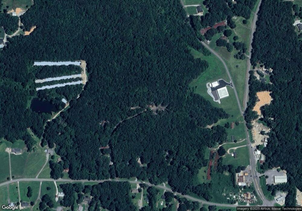
Map
Nearby Homes
- 7840 Silversmith Ct
- 8020 Estee Dr
- 6910 Concord Brook Ln
- 7040 Wessex Way
- 7030 Wessex Way
- 8450 Forsyth Dr
- 6485 Forsyth Dr
- 7010 Devon Dr
- 7055 Concord Brook Ln
- 7030 Devon Dr
- 7040 Devon Dr
- 0 Concord Rd Unit 10483290
- 6345 Manor Ridge Dr
- 7155 Bannister Park Ln
- 6535 Riley Rd
- 6545 Riley Rd
- 101 White Cedar Dr
- 6820 Lacebark Dr
- 276 A T Moore Rd
- 267 A T Moore Rd
- 123 Evans Trail
- 0 Evans Trail Unit 3270152
- 0 Evans Trail
- A A T Moore Rd
- 197 A T Moore Rd
- 22 Moore Farm Rd
- 383 A T Moore Rd
- 7450 Hedgerose Dr
- 7460 Hedgerose Dr
- 7470 Hedgerose Dr
- 7440 Hedgerose Dr
- 131 A T Moore Rd
- 7480 Hedgerose Dr
- 6494 Highway 9 S
- 7430 Hedgerose Dr
- 6436 Highway 9 S
- 7485 Hedgerose Dr
- 7445 Hedgerose Dr