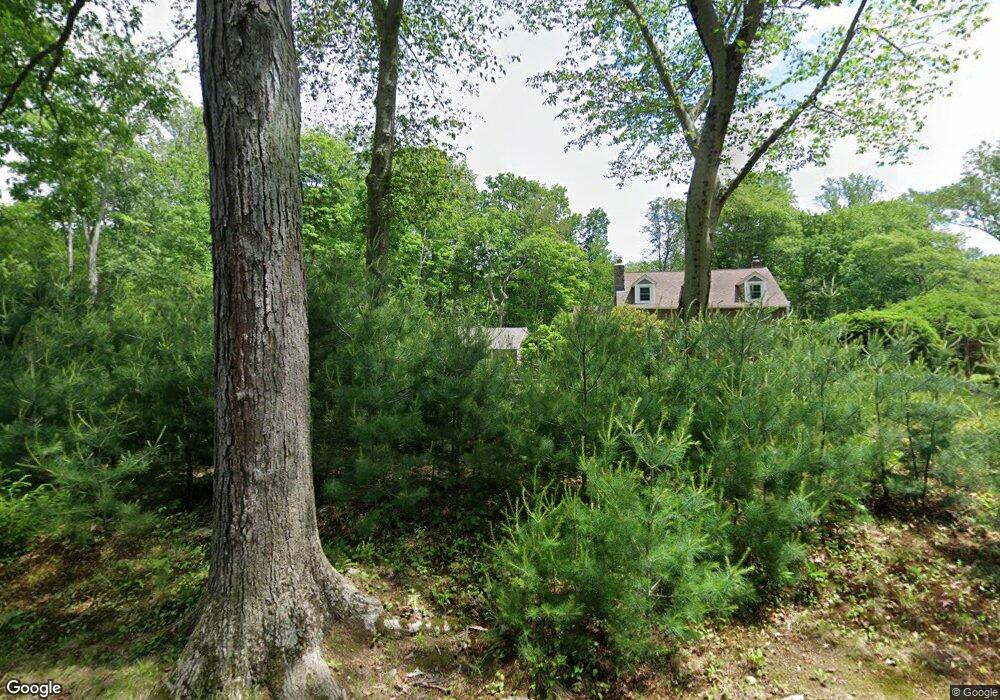
191 Merwins Ln Fairfield, CT 06824
Greenfield Hill NeighborhoodEstimated Value: $1,629,000 - $2,161,000
--
Bed
5
Baths
--
Sq Ft
2.27
Acres
About This Home
This home is located at 191 Merwins Ln, Fairfield, CT 06824 and is currently estimated at $1,795,356. 191 Merwins Ln is a home located in Fairfield County with nearby schools including Dwight Elementary School, Roger Ludlowe Middle School, and Fairfield Ludlowe High School.
Ownership History
Date
Name
Owned For
Owner Type
Purchase Details
Closed on
Apr 7, 1995
Sold by
Scudder Cynthia C
Bought by
Burns Peter M and Burns Allyson R
Current Estimated Value
Home Financials for this Owner
Home Financials are based on the most recent Mortgage that was taken out on this home.
Original Mortgage
$300,000
Interest Rate
8.66%
Mortgage Type
Unknown
Purchase Details
Closed on
Apr 3, 1995
Sold by
Scudder Cynthia C
Bought by
Mosco Leonard
Home Financials for this Owner
Home Financials are based on the most recent Mortgage that was taken out on this home.
Original Mortgage
$300,000
Interest Rate
8.66%
Mortgage Type
Unknown
Create a Home Valuation Report for This Property
The Home Valuation Report is an in-depth analysis detailing your home's value as well as a comparison with similar homes in the area
Home Values in the Area
Average Home Value in this Area
Purchase History
| Date | Buyer | Sale Price | Title Company |
|---|---|---|---|
| Burns Peter M | $345,000 | -- | |
| Burns Peter M | $345,000 | -- | |
| Mosco Leonard | $117,500 | -- | |
| Mosco Leonard | $117,500 | -- |
Source: Public Records
Mortgage History
| Date | Status | Borrower | Loan Amount |
|---|---|---|---|
| Open | Mosco Leonard | $416,000 | |
| Closed | Mosco Leonard | $300,000 | |
| Closed | Mosco Leonard | $300,000 |
Source: Public Records
Tax History Compared to Growth
Tax History
| Year | Tax Paid | Tax Assessment Tax Assessment Total Assessment is a certain percentage of the fair market value that is determined by local assessors to be the total taxable value of land and additions on the property. | Land | Improvement |
|---|---|---|---|---|
| 2025 | $19,273 | $678,860 | $291,480 | $387,380 |
| 2024 | $18,940 | $678,860 | $291,480 | $387,380 |
| 2023 | $18,055 | $656,320 | $291,480 | $364,840 |
| 2022 | $17,878 | $656,320 | $291,480 | $364,840 |
| 2021 | $17,708 | $656,320 | $291,480 | $364,840 |
| 2020 | $19,302 | $720,510 | $328,440 | $392,070 |
| 2019 | $19,302 | $720,510 | $328,440 | $392,070 |
| 2018 | $18,993 | $720,510 | $328,440 | $392,070 |
| 2017 | $18,604 | $720,510 | $328,440 | $392,070 |
| 2016 | $18,337 | $720,510 | $328,440 | $392,070 |
| 2015 | $18,415 | $742,840 | $378,490 | $364,350 |
| 2014 | $18,125 | $742,840 | $378,490 | $364,350 |
Source: Public Records
Map
Nearby Homes
- 2683 Bronson Rd
- 21 Queens Grant Dr
- 480 Riders Ln
- 688 Hulls Farm Rd
- 1084 Sturges Hwy
- 1001 Hulls Farm Rd
- 111 Sturges Hwy
- 254 Sherwood Farm Rd
- 1 Sturges Hwy Unit Lot 1
- 1 Sturges Hwy Unit 2
- 1135 Mill Hill Rd
- 21 Sturges Commons
- 3853 Congress St
- 56 Drake Ln
- 6 Bayberry Common
- 10 Debra Ln
- 2015 Redding Rd
- 11 Twin Brooks Ln
- 99 Old Academy Rd
- 6 Fox Run Ln
- 195 Merwins Ln
- 193 Merwins Ln
- 171 Merwins Ln
- 605 Redding Rd
- 645 Redding Rd
- 555 Redding Rd
- 675 Redding Rd
- 209 Merwins Ln
- 511 Redding Rd
- 467 Redding Rd
- 151 Merwins Ln
- 494 Redding Rd
- 225 Merwins Ln
- 536 Redding Rd
- 895 Verna Hill Rd
- 439 Redding Rd
- 270 Merwins Ln
- 51 Merwins Ln
- 821 Verna Hill Rd
- 120 Merwins Ln