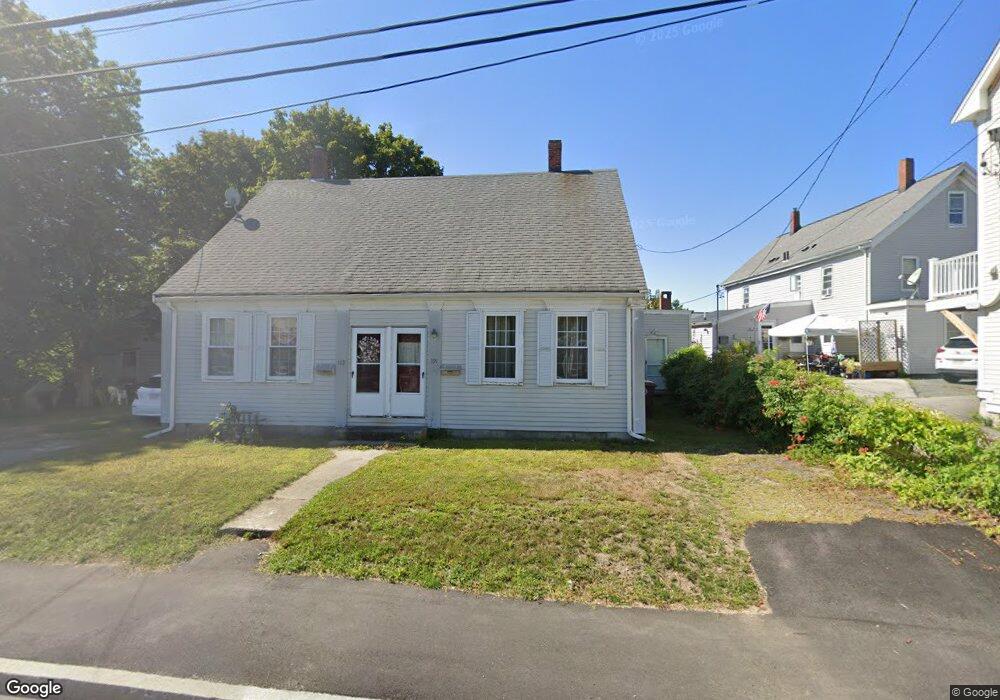
191 Middle St East Weymouth, MA 02189
East Weymouth NeighborhoodEstimated Value: $585,976 - $844,000
4
Beds
2
Baths
2,261
Sq Ft
$294/Sq Ft
Est. Value
About This Home
This home is located at 191 Middle St, East Weymouth, MA 02189 and is currently estimated at $664,494, approximately $293 per square foot. 191 Middle St is a home located in Norfolk County with nearby schools including Abigail Adams Middle School, William Seach Elementary School, and Weymouth Middle School Chapman.
Ownership History
Date
Name
Owned For
Owner Type
Purchase Details
Closed on
Jul 7, 1997
Sold by
Tessier Adm Karen A
Bought by
Rinaldi James J
Current Estimated Value
Home Financials for this Owner
Home Financials are based on the most recent Mortgage that was taken out on this home.
Original Mortgage
$131,135
Outstanding Balance
$19,394
Interest Rate
7.86%
Mortgage Type
Purchase Money Mortgage
Estimated Equity
$645,100
Create a Home Valuation Report for This Property
The Home Valuation Report is an in-depth analysis detailing your home's value as well as a comparison with similar homes in the area
Home Values in the Area
Average Home Value in this Area
Purchase History
| Date | Buyer | Sale Price | Title Company |
|---|---|---|---|
| Rinaldi James J | $135,000 | -- |
Source: Public Records
Mortgage History
| Date | Status | Borrower | Loan Amount |
|---|---|---|---|
| Open | Rinaldi James J | $131,135 |
Source: Public Records
Tax History Compared to Growth
Tax History
| Year | Tax Paid | Tax Assessment Tax Assessment Total Assessment is a certain percentage of the fair market value that is determined by local assessors to be the total taxable value of land and additions on the property. | Land | Improvement |
|---|---|---|---|---|
| 2025 | $4,858 | $481,000 | $214,400 | $266,600 |
| 2024 | $4,859 | $473,100 | $204,200 | $268,900 |
| 2023 | $4,723 | $452,000 | $189,100 | $262,900 |
| 2022 | $4,746 | $414,100 | $175,100 | $239,000 |
| 2021 | $4,350 | $370,500 | $175,100 | $195,400 |
| 2020 | $4,325 | $362,800 | $175,100 | $187,700 |
| 2019 | $3,731 | $307,800 | $168,400 | $139,400 |
| 2018 | $3,571 | $285,700 | $160,300 | $125,400 |
| 2017 | $3,317 | $258,900 | $152,700 | $106,200 |
| 2016 | $3,200 | $250,000 | $146,900 | $103,100 |
| 2015 | $3,173 | $246,000 | $146,900 | $99,100 |
| 2014 | $3,168 | $238,200 | $136,700 | $101,500 |
Source: Public Records
Map
Nearby Homes
- 575 Broad St Unit 305
- 575 Broad St Unit 215
- 29-31 Broad Street Place
- 56 Putnam St
- 303 Middle St
- 209 Lake St Unit 69
- 145 Jaffrey St
- 42 Sundin Rd
- 286 Essex St
- 367 Essex St
- 425 East St
- 449 Middle St
- 12 Klasson Ln
- 20 Richards Rd
- 30 Puritan Rd
- 286 Broad St
- 17 Grove St
- 669 Commercial St
- 1297 Pleasant St
- 38 School St Unit 2
- 199 Middle St
- 199 Middle St Unit 199
- 549 Broad St
- 545 Broad St
- 555 Broad St Unit B
- 555 Broad St
- 555 Broad St Unit B
- 12 Deady Dr Unit 12
- 14 Deady Dr Unit 14
- 16 Deady Dr Unit 16
- 16 Deady Dr
- 550 Broad St Unit 2
- 550 Broad St Unit A
- 190 Middle St
- 11 Deady Dr
- 560 Broad St
- 203 Middle St Unit 10
- 203 Middle St Unit 7
- 203 Middle St Unit 9
- 203 Middle St Unit 1