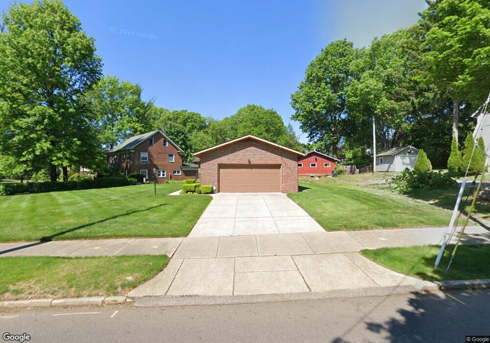
191 N Firestone Blvd Akron, OH 44301
Firestone Park NeighborhoodEstimated Value: $157,000 - $231,000
3
Beds
2
Baths
1,276
Sq Ft
$143/Sq Ft
Est. Value
About This Home
This home is located at 191 N Firestone Blvd, Akron, OH 44301 and is currently estimated at $182,447, approximately $142 per square foot. 191 N Firestone Blvd is a home located in Summit County with nearby schools including Firestone Park Elementary School, Kenmore Garfield Community Learning Center, and Main Preparatory Academy.
Ownership History
Date
Name
Owned For
Owner Type
Purchase Details
Closed on
May 8, 2025
Sold by
Pier Russell William and Pier Jennifer Kirsten
Bought by
Bower Terry L and Bower Donna J
Current Estimated Value
Create a Home Valuation Report for This Property
The Home Valuation Report is an in-depth analysis detailing your home's value as well as a comparison with similar homes in the area
Home Values in the Area
Average Home Value in this Area
Purchase History
| Date | Buyer | Sale Price | Title Company |
|---|---|---|---|
| Bower Terry L | $219,900 | None Listed On Document |
Source: Public Records
Tax History Compared to Growth
Tax History
| Year | Tax Paid | Tax Assessment Tax Assessment Total Assessment is a certain percentage of the fair market value that is determined by local assessors to be the total taxable value of land and additions on the property. | Land | Improvement |
|---|---|---|---|---|
| 2025 | $2,064 | $45,203 | $15,894 | $29,309 |
| 2024 | $2,064 | $45,203 | $15,894 | $29,309 |
| 2023 | $2,064 | $45,203 | $15,894 | $29,309 |
| 2022 | $1,879 | $34,244 | $12,040 | $22,204 |
| 2021 | $1,881 | $34,244 | $12,040 | $22,204 |
| 2020 | $1,855 | $34,240 | $12,040 | $22,200 |
| 2019 | $1,974 | $33,600 | $11,200 | $22,400 |
| 2018 | $1,950 | $33,600 | $11,200 | $22,400 |
| 2017 | $1,978 | $33,600 | $11,200 | $22,400 |
| 2016 | $1,980 | $33,600 | $11,200 | $22,400 |
| 2015 | $1,978 | $33,600 | $11,200 | $22,400 |
| 2014 | $1,964 | $33,600 | $11,200 | $22,400 |
| 2013 | $2,213 | $37,780 | $11,200 | $26,580 |
Source: Public Records
Map
Nearby Homes
- 132 Crescent Dr
- 1345 Bellows St
- 1349 Grant St
- 197 E Wilbeth Rd
- 1367 Girard St
- 1310 Bellows St
- 1595 Evergreen Ave
- 1362 Wilbur Ave
- 342 E Archwood Ave
- 1637 Rockford St
- 106 E Emerling Ave
- 133 E Emerling Ave
- 129 E Emerling Ave
- 1459 Holly Ave
- 97 E Emerling Ave
- 1231 Bellows St
- 1500 Beardsley St
- 0 Beardsley St
- 1614 Glenmount Ave
- 41 E Rosewood Ave
- 1440 Bellows St
- 185 N Firestone Blvd
- 1438 Bellows St
- 190 E Brookside Ave
- 194 E Brookside Ave
- 204 E Brookside Ave
- 198 E Brookside Ave
- 177 N Firestone Blvd
- 205 N Firestone Blvd
- 186 E Brookside Ave
- 182 E Brookside Ave
- 1429 Bellows St
- 178 E Brookside Ave
- 213 N Firestone Blvd
- 169 E Firestone Blvd
- 1423 Bellows St
- 174 E Brookside Ave
- 203 E Brookside Ave
- 199 E Brookside Ave
- 197 E Brookside Ave