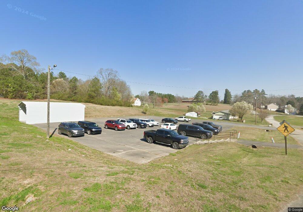
191 New Harmony Rd Cedartown, GA 30125
--
Bed
2
Baths
23,390
Sq Ft
6.79
Acres
About This Home
This home is located at 191 New Harmony Rd, Cedartown, GA 30125. 191 New Harmony Rd is a home located in Polk County with nearby schools including Cedar Christian School.
Ownership History
Date
Name
Owned For
Owner Type
Purchase Details
Closed on
Jan 13, 2017
Bought by
Giles Joseph W and Giles Sheri D
Purchase Details
Closed on
Oct 1, 1984
Sold by
Am South Bank N A As Trustee Of William
Bought by
New Harmony Bank Inc
Purchase Details
Closed on
Mar 17, 1980
Bought by
New Harmony Bapt Church
Purchase Details
Closed on
Jul 1, 1976
Bought by
New Harmony Bapt Church
Purchase Details
Closed on
Feb 17, 1974
Bought by
New Harmony Bap Church
Create a Home Valuation Report for This Property
The Home Valuation Report is an in-depth analysis detailing your home's value as well as a comparison with similar homes in the area
Home Values in the Area
Average Home Value in this Area
Purchase History
| Date | Buyer | Sale Price | Title Company |
|---|---|---|---|
| Giles Joseph W | $120,000 | -- | |
| New Harmony Bank Inc | $7,000 | -- | |
| New Harmony Bapt Church | -- | -- | |
| New Harmony Bapt Church | -- | -- | |
| New Harmony Bap Church | -- | -- |
Source: Public Records
Tax History Compared to Growth
Tax History
| Year | Tax Paid | Tax Assessment Tax Assessment Total Assessment is a certain percentage of the fair market value that is determined by local assessors to be the total taxable value of land and additions on the property. | Land | Improvement |
|---|---|---|---|---|
| 2024 | -- | $869,904 | $25,580 | $844,324 |
| 2023 | $19,716 | $821,356 | $16,854 | $804,502 |
| 2022 | $19,716 | $820,135 | $16,447 | $803,688 |
| 2021 | $19,682 | $818,714 | $15,977 | $802,737 |
| 2020 | $22,279 | $818,714 | $15,977 | $802,737 |
| 2019 | $22,279 | $818,714 | $15,977 | $802,737 |
| 2018 | $22,279 | $818,714 | $15,977 | $802,737 |
| 2017 | $26,287 | $966,002 | $19,584 | $946,418 |
| 2016 | $0 | $966,002 | $19,584 | $946,418 |
| 2015 | -- | $844,390 | $19,584 | $824,806 |
| 2014 | -- | $792,338 | $18,347 | $773,991 |
Source: Public Records
Map
Nearby Homes
- 0 Mountain Home Rd Unit 1020-B 10351940
- 0 Mountain Home Rd Unit 1020-C 10351948
- 0 Mountain Home Rd Unit 1020-A 10351930
- 323 Mountain Home Rd
- 148 Persons Rd
- 35 Harris Loop
- 0 Old Potash Rd Unit 7675402
- 0 Old Potash Rd Unit 10636176
- 820 Potash Rd
- 1849 Prior Station Rd Unit 77.57 ACRES
- 1849 Prior Station Rd
- 382 5th St
- 293 4th St
- 119 Jackson St
- 00 Cornelius Rd
- 309 Walnut St
- 605 W Girard Ave
- 39 Summerwind Dr
- 422 Walnut St
- 374 Seab Green Rd
- 174 New Harmony Rd
- 224 New Harmony Rd
- 944 Prior Station Rd
- 250 New Harmony Rd
- 914 Prior Station Rd
- 987 Prior Station Rd
- 904 Prior Station Rd
- 255 New Harmony Rd
- 1015 Prior Station Rd
- 107 New Harmony Rd
- 972 Prior Station Rd
- 894 Prior Station Rd
- 852 Prior Station Rd
- 1018 Prior Station Rd
- 1033 Prior Station Rd
- 868 Prior Station Rd
- 93 New Harmony Rd
- 102 Emmet Rd
- 285 New Harmony Rd
- 864 Prior Station Rd