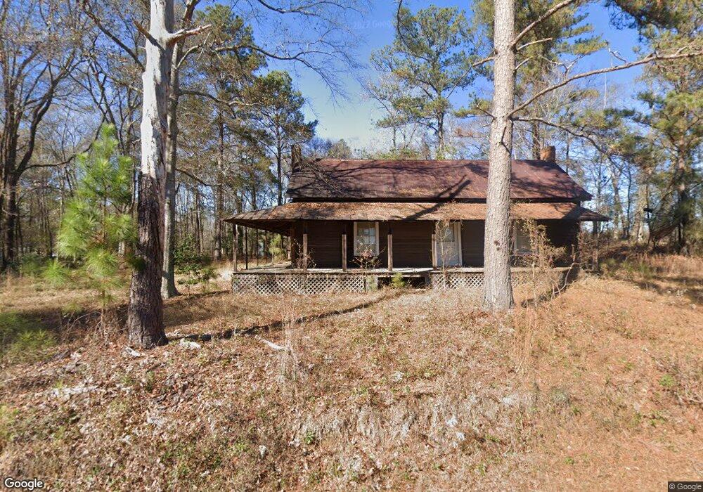
191 Rawlins Rd Macon, GA 31217
Estimated Value: $95,385 - $126,000
Studio
--
Bath
1,214
Sq Ft
$92/Sq Ft
Est. Value
About This Home
This home is located at 191 Rawlins Rd, Macon, GA 31217 and is currently estimated at $111,346, approximately $91 per square foot. 191 Rawlins Rd is a home with nearby schools including Jeffersonville Elementary School, Twiggs Middle School, and Twiggs County High School.
Ownership History
Date
Name
Owned For
Owner Type
Purchase Details
Closed on
Oct 11, 2013
Sold by
Kitchens Ronald Earl
Bought by
Johnson John C
Current Estimated Value
Purchase Details
Closed on
Jan 1, 2009
Sold by
Kitchens Edward
Bought by
Kitchens Ronald Earl
Purchase Details
Closed on
Dec 27, 2008
Sold by
Kitchens Cynthia Ann and Moje Mabel
Bought by
Kitchens Edward
Purchase Details
Closed on
May 27, 2002
Sold by
Virgil W Kitchens
Bought by
Kitchens Cynthia Ann
Purchase Details
Closed on
Jul 11, 2001
Sold by
Kitchens Emory
Bought by
Kitchens Cynthia Ann
Purchase Details
Closed on
Sep 19, 1991
Bought by
Kitchens Edward Emor
Create a Home Valuation Report for This Property
The Home Valuation Report is an in-depth analysis detailing your home's value as well as a comparison with similar homes in the area
Purchase History
| Date | Buyer | Sale Price | Title Company |
|---|---|---|---|
| Johnson John C | $47,000 | -- | |
| Kitchens Ronald Earl | -- | -- | |
| Kitchens Edward | -- | -- | |
| Kitchens Cynthia Ann | -- | -- | |
| Kitchens Cynthia Ann | -- | -- | |
| Kitchens Edward Emor | -- | -- |
Source: Public Records
Tax History
| Year | Tax Paid | Tax Assessment Tax Assessment Total Assessment is a certain percentage of the fair market value that is determined by local assessors to be the total taxable value of land and additions on the property. | Land | Improvement |
|---|---|---|---|---|
| 2024 | $405 | $22,650 | $19,786 | $2,864 |
| 2023 | $398 | $22,650 | $19,786 | $2,864 |
| 2022 | $819 | $22,650 | $19,786 | $2,864 |
| 2021 | $820 | $22,650 | $19,786 | $2,864 |
| 2020 | $820 | $22,650 | $19,786 | $2,864 |
| 2019 | $710 | $19,605 | $16,741 | $2,864 |
| 2018 | $651 | $19,605 | $16,741 | $2,864 |
| 2017 | $582 | $17,539 | $16,741 | $798 |
| 2016 | $0 | $798 | $0 | $798 |
| 2015 | -- | $17,538 | $16,741 | $798 |
| 2014 | -- | $17,538 | $16,741 | $798 |
| 2013 | -- | $17,530 | $16,740 | $789 |
Source: Public Records
Map
Nearby Homes
- 1659 Henderson Rd
- 311 Lawrence Dr
- 134 Bowers Dr
- 290 Forestwood Dr
- 4912 Old Gordon Rd
- 4231 Donnan Rd
- Hwy 129
- 5503 Jeffersonville Rd
- 3688 Myers St
- 3991 Zana Dr
- 4861 Jeffersonville Rd
- 3608 Franklinton Rd
- 3741 Franklinton Rd
- 3801 Crest Dr
- 0 Knollwood Rd Unit LotWP004
- 0 Knollwood Rd Unit 10495049
- 32 Knollwood Rd
- 4401 Crystal Lake Dr
- 631 Crabapple Place
- 167 Apple Valley Rd
Your Personal Tour Guide
Ask me questions while you tour the home.