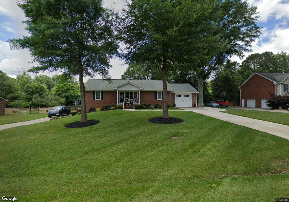
191 Raye Dr Winston Salem, NC 27107
Estimated Value: $254,000 - $302,000
2
Beds
1
Bath
3,674
Sq Ft
$77/Sq Ft
Est. Value
About This Home
This home is located at 191 Raye Dr, Winston Salem, NC 27107 and is currently estimated at $282,190, approximately $76 per square foot. 191 Raye Dr is a home located in Davidson County with nearby schools including Wallburg Elementary School, Oak Grove Middle School, and Oak Grove High School.
Ownership History
Date
Name
Owned For
Owner Type
Purchase Details
Closed on
Nov 20, 2006
Sold by
Brown David S and Brown Daphne P
Bought by
Byrd Joseph Matthew and Byrd Christina Southern
Current Estimated Value
Home Financials for this Owner
Home Financials are based on the most recent Mortgage that was taken out on this home.
Original Mortgage
$141,589
Outstanding Balance
$83,939
Interest Rate
6.25%
Mortgage Type
VA
Estimated Equity
$198,251
Purchase Details
Closed on
Sep 1, 1997
Purchase Details
Closed on
Jun 1, 1997
Purchase Details
Closed on
Apr 1, 1990
Create a Home Valuation Report for This Property
The Home Valuation Report is an in-depth analysis detailing your home's value as well as a comparison with similar homes in the area
Home Values in the Area
Average Home Value in this Area
Purchase History
| Date | Buyer | Sale Price | Title Company |
|---|---|---|---|
| Byrd Joseph Matthew | $137,000 | None Available | |
| -- | $89,000 | -- | |
| -- | $77,000 | -- | |
| -- | -- | -- |
Source: Public Records
Mortgage History
| Date | Status | Borrower | Loan Amount |
|---|---|---|---|
| Open | Byrd Joseph Matthew | $141,589 |
Source: Public Records
Tax History Compared to Growth
Tax History
| Year | Tax Paid | Tax Assessment Tax Assessment Total Assessment is a certain percentage of the fair market value that is determined by local assessors to be the total taxable value of land and additions on the property. | Land | Improvement |
|---|---|---|---|---|
| 2025 | $1,160 | $165,850 | $0 | $0 |
| 2024 | $1,101 | $161,960 | $0 | $0 |
| 2023 | $1,101 | $161,960 | $0 | $0 |
| 2022 | $1,101 | $161,960 | $0 | $0 |
| 2021 | $1,101 | $161,960 | $0 | $0 |
| 2020 | $902 | $132,710 | $0 | $0 |
| 2019 | $916 | $132,710 | $0 | $0 |
| 2018 | $916 | $132,710 | $0 | $0 |
| 2017 | $916 | $132,710 | $0 | $0 |
| 2016 | $916 | $132,770 | $0 | $0 |
| 2015 | $916 | $132,770 | $0 | $0 |
| 2014 | $934 | $135,400 | $0 | $0 |
Source: Public Records
Map
Nearby Homes
- 144 Westbridge Rd
- 4313 Rex Ct
- 0 Zachary St
- 447 Wentworth Dr
- 4535 Zachary St
- 181 Timberwolfe Trail
- 4295 Glenmore Creek Dr
- 353 St James Dr
- 0 Alvis Ln
- 1346 Robbins Rd
- 0 Jay Dee Dr Unit 1162037
- 572 Alvis Ln
- 589 Alvis Ln
- 4488 Redfern Place
- 126 Castle Pond Dr
- 282 Heatherwood Dr
- 153 Turtle Bay Ct
- 293 Old Heritage Dr
- 330 Old Heritage Dr
- 1034 Medinah Dr