191 Red Rock Ln Unit 2 Mill Spring, NC 28756
Estimated Value: $201,157 - $270,000
3
Beds
2
Baths
1,120
Sq Ft
$210/Sq Ft
Est. Value
About This Home
This home is located at 191 Red Rock Ln Unit 2, Mill Spring, NC 28756 and is currently estimated at $235,579, approximately $210 per square foot. 191 Red Rock Ln Unit 2 is a home located in Polk County.
Ownership History
Date
Name
Owned For
Owner Type
Purchase Details
Closed on
Mar 4, 2024
Sold by
Drawdy Raymond J and Drawdy Paula J
Bought by
Mcmahan Richard Lee and Mcmahan Evelyn Nicole
Current Estimated Value
Home Financials for this Owner
Home Financials are based on the most recent Mortgage that was taken out on this home.
Original Mortgage
$193,333
Outstanding Balance
$190,153
Interest Rate
6.69%
Mortgage Type
FHA
Estimated Equity
$45,426
Purchase Details
Closed on
Mar 31, 2009
Sold by
Perez Every E and Perez Dixie
Bought by
Drawdy Raymond J and Drawdy Paula J
Home Financials for this Owner
Home Financials are based on the most recent Mortgage that was taken out on this home.
Original Mortgage
$52,000
Interest Rate
5.1%
Mortgage Type
New Conventional
Create a Home Valuation Report for This Property
The Home Valuation Report is an in-depth analysis detailing your home's value as well as a comparison with similar homes in the area
Home Values in the Area
Average Home Value in this Area
Purchase History
| Date | Buyer | Sale Price | Title Company |
|---|---|---|---|
| Mcmahan Richard Lee | $197,000 | None Listed On Document | |
| Drawdy Raymond J | $65,000 | None Available |
Source: Public Records
Mortgage History
| Date | Status | Borrower | Loan Amount |
|---|---|---|---|
| Open | Mcmahan Richard Lee | $193,333 | |
| Previous Owner | Drawdy Raymond J | $52,000 |
Source: Public Records
Tax History
| Year | Tax Paid | Tax Assessment Tax Assessment Total Assessment is a certain percentage of the fair market value that is determined by local assessors to be the total taxable value of land and additions on the property. | Land | Improvement |
|---|---|---|---|---|
| 2025 | $640 | $125,356 | $38,880 | $86,476 |
| 2024 | $510 | $79,669 | $29,800 | $49,869 |
| 2023 | $510 | $79,669 | $29,800 | $49,869 |
| 2022 | $454 | $71,079 | $29,800 | $41,279 |
| 2021 | $454 | $71,079 | $29,800 | $41,279 |
| 2020 | $366 | $52,542 | $23,840 | $28,702 |
| 2019 | $366 | $52,542 | $23,840 | $28,702 |
| 2018 | $356 | $52,542 | $23,840 | $28,702 |
| 2017 | $348 | $53,253 | $21,360 | $31,893 |
| 2016 | $351 | $53,253 | $21,360 | $31,893 |
| 2015 | $338 | $0 | $0 | $0 |
| 2014 | $338 | $0 | $0 | $0 |
| 2013 | -- | $0 | $0 | $0 |
Source: Public Records
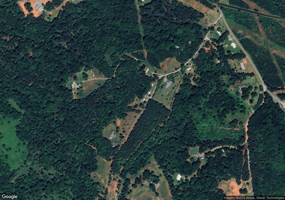
Map
Nearby Homes
- TBD Pea Ridge Rd
- 1888 Pea Ridge Rd
- 1178 Pea Ridge Rd
- 0 Big Level Rd Unit CAR4267320
- 260 Buck Branch Rd
- 6 Rachel Bell Rd
- 00 Saddleside Dr
- 0 E Nc Hwy 108 None Unit Lot 55
- 10105 N Carolina 108
- 99999 Pea Ridge Rd
- Lot 20 A R Thompson Rd Unit 20
- 00 A R Thompson Rd
- Lot 48.1 A R Thompson Rd
- 00000 A R Thompson Rd Unit 27
- Lot 20 A R Thompson Rd
- 99999 Abrams & Moore Rd
- Tbd Pea Ridge Rd
- TBD Shady Ln
- 0 Mountain Pkwy Unit Lot 29
- 1564 C Rd
- 191 Red Rock Ln
- 184 Red Rock Ln
- 193 Red Rock Ln
- 124 Red Rock Ln
- 400 Red Rock Ln
- 130 Misery Ridge Trail
- 306 Lazy Ln
- 216 Misery Ridge Trail
- 238 Manus Chapel Rd
- 66 Misery Ridge Trail
- 210 Manus Chapel Rd
- 136 McFalls Dr
- 0 Manus Chapel Rd Unit 3 3431567
- 0 Manus Chapel Rd Unit 2 3431543
- 0 Manus Chapel Rd Unit 1 3431296
- 0 Manus Chapel Rd Unit 3270751
- 0 Manus Chapel Rd Unit 1504435
- 0 Manus Chapel Rd Unit CAR4053894
- 324 Horse Path Dr
- 304 Misery Ridge Trail
Your Personal Tour Guide
Ask me questions while you tour the home.