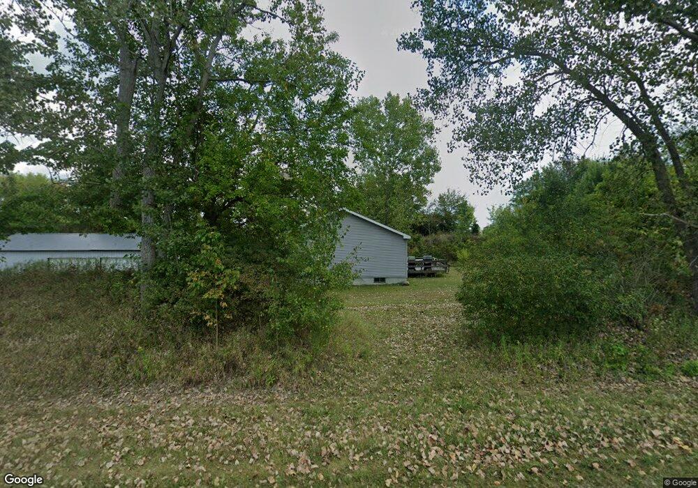
191 S Ray Quincy Rd Quincy, MI 49082
Estimated Value: $211,934 - $340,000
3
Beds
2
Baths
1,440
Sq Ft
$184/Sq Ft
Est. Value
About This Home
This home is located at 191 S Ray Quincy Rd, Quincy, MI 49082 and is currently estimated at $265,484, approximately $184 per square foot. 191 S Ray Quincy Rd is a home located in Branch County with nearby schools including Jennings Elementary School, Quincy Middle School, and Quincy High School.
Ownership History
Date
Name
Owned For
Owner Type
Purchase Details
Closed on
Jul 21, 2016
Sold by
Burk Christopher and Feltner Amanda
Bought by
Burk Christopher
Current Estimated Value
Home Financials for this Owner
Home Financials are based on the most recent Mortgage that was taken out on this home.
Original Mortgage
$88,624
Outstanding Balance
$71,134
Interest Rate
3.75%
Mortgage Type
FHA
Estimated Equity
$194,350
Purchase Details
Closed on
Aug 20, 2008
Sold by
Burk James and Burk Brenda K
Bought by
Burk Christopher and Burk Amanda J
Home Financials for this Owner
Home Financials are based on the most recent Mortgage that was taken out on this home.
Original Mortgage
$110,000
Interest Rate
6.42%
Mortgage Type
Purchase Money Mortgage
Create a Home Valuation Report for This Property
The Home Valuation Report is an in-depth analysis detailing your home's value as well as a comparison with similar homes in the area
Home Values in the Area
Average Home Value in this Area
Purchase History
| Date | Buyer | Sale Price | Title Company |
|---|---|---|---|
| Burk Christopher | -- | Title Source Inc | |
| Burk Christopher | -- | Branch County Abstract & Tit |
Source: Public Records
Mortgage History
| Date | Status | Borrower | Loan Amount |
|---|---|---|---|
| Open | Burk Christopher | $88,624 | |
| Closed | Burk Christopher | $110,000 |
Source: Public Records
Tax History Compared to Growth
Tax History
| Year | Tax Paid | Tax Assessment Tax Assessment Total Assessment is a certain percentage of the fair market value that is determined by local assessors to be the total taxable value of land and additions on the property. | Land | Improvement |
|---|---|---|---|---|
| 2025 | $2,075 | $109,634 | $0 | $0 |
| 2024 | $794 | $101,885 | $0 | $0 |
| 2023 | $556 | $76,494 | $0 | $0 |
| 2022 | $1,453 | $73,086 | $0 | $0 |
| 2021 | $892 | $67,479 | $0 | $0 |
| 2020 | -- | $65,652 | $0 | $0 |
| 2019 | -- | $67,479 | $0 | $0 |
| 2018 | -- | $57,803 | $0 | $0 |
| 2017 | -- | $53,864 | $0 | $0 |
| 2016 | -- | $47,522 | $0 | $0 |
| 2015 | -- | $47,396 | $0 | $0 |
| 2014 | -- | $47,479 | $0 | $0 |
| 2013 | -- | $44,215 | $0 | $0 |
Source: Public Records
Map
Nearby Homes
- 211 S Ray Quincy Rd
- 1063 Fisher Rd
- 180 Crockett Dr
- 204 Crockett Dr
- 117 Ridge Rd
- 181 Dons Dr
- 204 Dons Dr
- 202 Dons Dr
- 808 Rolling Meadows Dr
- 804 Cornell Rd
- 0 Wildwood Rd
- 216 Sandalwood Dr
- 757 Lake Shore Point
- 988 Williams Dr
- 242 Bickford Dr
- 297 Winhoven Dr
- 283 S Fremont Rd
- 727 Skipper Ln
- 912 Beckwith Shore
- 238 Maple Rd
- 195 S Ray Quincy Rd
- 1 Fisher Rd
- 201 S Ray Quincy Rd
- 206 S Ray Quincy Rd
- 207 S Ray Quincy Rd
- 976 Fisher Rd
- 160 S Ray Quincy Rd
- 154 S Ray Quincy Rd
- 149 S Ray Quincy Rd
- 951 Fisher Rd
- 1041 Fisher Rd
- 146 S Ray Quincy Rd
- 227 Bennett Rd
- 0 Fisher Rd Unit 62024019452
- 0 Fisher Rd Unit 24019452
- 0 Fisher Rd Unit 62024011342
- 0 Fisher Rd Unit 24011342
- 0 Fisher Rd Unit 23031708
- 0 Fisher Rd Unit 23013676
- 0 Fisher Rd Unit 62021116725