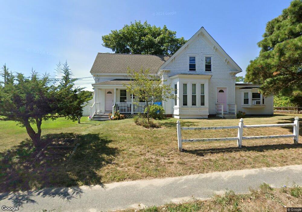
191 Sea St Unit 2B Dennis Port, MA 02639
Dennis Port NeighborhoodEstimated Value: $280,573 - $441,000
3
Beds
1
Bath
625
Sq Ft
$569/Sq Ft
Est. Value
About This Home
This home is located at 191 Sea St Unit 2B, Dennis Port, MA 02639 and is currently estimated at $355,893, approximately $569 per square foot. 191 Sea St Unit 2B is a home located in Barnstable County with nearby schools including Dennis-Yarmouth Regional High School and St. Pius X. School.
Ownership History
Date
Name
Owned For
Owner Type
Purchase Details
Closed on
Oct 3, 2025
Sold by
Gafanovich Wolf and Gafanovich Yuliya
Bought by
Wolf Gafanovich T and Wolf Gafanovich
Current Estimated Value
Purchase Details
Closed on
Apr 29, 2011
Sold by
Ponce Norma
Bought by
Gafanovich Wolf and Gafanovich Yuliya
Purchase Details
Closed on
Sep 5, 2000
Sold by
Sewell Norman E and Sewell Elizabeth A
Bought by
Ponce Norma
Purchase Details
Closed on
Oct 13, 1994
Sold by
Fgb Rlty Advisors
Bought by
Sewell Norman E and Sewell Elizabeth A
Purchase Details
Closed on
Sep 29, 1994
Sold by
Wax Steven and Fgb Rlty Advisors Inc
Bought by
Fgb Rlty Advisors Inc
Purchase Details
Closed on
May 26, 1987
Sold by
Tomasian Aram
Bought by
Wax Steven
Home Financials for this Owner
Home Financials are based on the most recent Mortgage that was taken out on this home.
Original Mortgage
$48,800
Interest Rate
9.48%
Mortgage Type
Purchase Money Mortgage
Create a Home Valuation Report for This Property
The Home Valuation Report is an in-depth analysis detailing your home's value as well as a comparison with similar homes in the area
Home Values in the Area
Average Home Value in this Area
Purchase History
| Date | Buyer | Sale Price | Title Company |
|---|---|---|---|
| Wolf Gafanovich T | -- | -- | |
| Gafanovich Wolf | $90,000 | -- | |
| Gafanovich Wolf | $90,000 | -- | |
| Gafanovich Wolf | $90,000 | -- | |
| Ponce Norma | $64,000 | -- | |
| Ponce Norma | $64,000 | -- | |
| Sewell Norman E | $17,000 | -- | |
| Sewell Norman E | $17,000 | -- | |
| Sewell Norman E | $17,000 | -- | |
| Sewell Norman E | $17,000 | -- | |
| Fgb Rlty Advisors Inc | $15,300 | -- | |
| Wax Steven | $55,000 | -- |
Source: Public Records
Mortgage History
| Date | Status | Borrower | Loan Amount |
|---|---|---|---|
| Previous Owner | Wax Steven | $65,000 | |
| Previous Owner | Wax Steven | $48,800 |
Source: Public Records
Tax History Compared to Growth
Tax History
| Year | Tax Paid | Tax Assessment Tax Assessment Total Assessment is a certain percentage of the fair market value that is determined by local assessors to be the total taxable value of land and additions on the property. | Land | Improvement |
|---|---|---|---|---|
| 2025 | $970 | $224,100 | $0 | $224,100 |
| 2024 | $904 | $205,900 | $0 | $205,900 |
| 2023 | $789 | $168,900 | $0 | $168,900 |
| 2022 | $708 | $126,500 | $0 | $126,500 |
| 2021 | $687 | $113,900 | $0 | $113,900 |
| 2020 | $667 | $109,300 | $0 | $109,300 |
| 2019 | $633 | $102,600 | $0 | $102,600 |
| 2018 | $620 | $97,800 | $0 | $97,800 |
| 2017 | $601 | $97,800 | $0 | $97,800 |
| 2016 | $609 | $93,300 | $0 | $93,300 |
| 2015 | $597 | $93,300 | $0 | $93,300 |
| 2014 | $592 | $93,300 | $0 | $93,300 |
Source: Public Records
Map
Nearby Homes
- 12 Cross St
- 159 Center St Unit 22
- 26 Manning Rd
- 102 Sea St
- 10 Candlewood Ln Unit 2-1
- 12 Candlewood Ln Unit 2-9
- 221 Upper County Rd Unit 2A
- 221 Upper County Rd Unit 2A
- 73 Division St
- 22 Ferncliff Rd
- 402 Old Wharf Rd
- 11 Ocean Park W
- 402 Old Wharf Rd
- 9 Country Ln
- 47 Telegraph Rd Unit 1
- 166 Upper County Rd Unit 1-4
- 405 Old Wharf Rd Unit B204
- 405 Old Wharf Rd Unit B204
- 72 Bassett Ln
- 9 Chase Ave Unit 6
- 191 Sea St Unit 2G/7
- 191 Sea St Unit U-2E
- 191 Sea St Unit 5
- 191 Sea St Unit 7
- 191 Sea St Unit 2C
- 191 Sea St Unit 1
- 191 Sea St
- 191 Sea St Unit 3
- 197 Sea St
- 6 Spruce Way
- 10 Spruce Way
- 191 Sea (Condo Unit #7) St Unit 7
- 195 Sea St
- 185 Sea St
- 185 Sea St
- 5 James St
- 7 James St
- 11 Ellis Dr
- 11 James St
- 194 Sea St