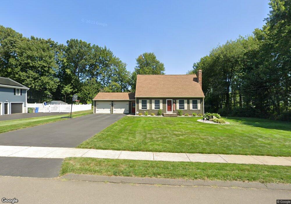
191 Silo Rd Bristol, CT 06010
Forestville NeighborhoodEstimated Value: $418,000 - $493,000
3
Beds
3
Baths
1,544
Sq Ft
$292/Sq Ft
Est. Value
About This Home
This home is located at 191 Silo Rd, Bristol, CT 06010 and is currently estimated at $450,539, approximately $291 per square foot. 191 Silo Rd is a home located in Hartford County with nearby schools including Bristol Central High School, Great Beginnings, and St Matthew School.
Ownership History
Date
Name
Owned For
Owner Type
Purchase Details
Closed on
May 28, 1992
Sold by
Semataska Kenneth and Semataska Evelyn
Bought by
Martin Mark L and Martin Debra D
Current Estimated Value
Create a Home Valuation Report for This Property
The Home Valuation Report is an in-depth analysis detailing your home's value as well as a comparison with similar homes in the area
Home Values in the Area
Average Home Value in this Area
Purchase History
| Date | Buyer | Sale Price | Title Company |
|---|---|---|---|
| Martin Mark L | $180,000 | -- |
Source: Public Records
Mortgage History
| Date | Status | Borrower | Loan Amount |
|---|---|---|---|
| Open | Martin Mark L | $147,900 | |
| Closed | Martin Mark L | $122,000 |
Source: Public Records
Tax History
| Year | Tax Paid | Tax Assessment Tax Assessment Total Assessment is a certain percentage of the fair market value that is determined by local assessors to be the total taxable value of land and additions on the property. | Land | Improvement |
|---|---|---|---|---|
| 2025 | $7,352 | $217,840 | $61,530 | $156,310 |
| 2024 | $6,938 | $217,840 | $61,530 | $156,310 |
| 2023 | $6,611 | $217,840 | $61,530 | $156,310 |
| 2022 | $6,113 | $159,390 | $48,090 | $111,300 |
| 2021 | $6,113 | $159,390 | $48,090 | $111,300 |
| 2020 | $6,113 | $159,390 | $48,090 | $111,300 |
| 2019 | $6,065 | $159,390 | $48,090 | $111,300 |
| 2018 | $5,878 | $159,390 | $48,090 | $111,300 |
| 2017 | $5,382 | $149,380 | $50,890 | $98,490 |
| 2016 | $5,382 | $149,380 | $50,890 | $98,490 |
| 2015 | $5,170 | $149,380 | $50,890 | $98,490 |
| 2014 | $5,170 | $149,380 | $50,890 | $98,490 |
Source: Public Records
Map
Nearby Homes
- 592 Village St
- 603 Village St
- 575 Village St
- 581 Village St
- 595 Village St
- 554 Village St
- 519 Village St
- 121 Village St
- 536 Redstone Hill Rd Unit 24
- 25 Julia Rd
- 25 Zack Ln
- 7 Eastview Rd
- 26 Skyline Dr
- 8 Redstone St
- 295 Redstone Hill Rd Unit 3
- 14 Redstone St
- 279 Redstone Hill Rd Unit 58
- 29 Skyline Dr
- 1985 West St Unit 11
- 513 Emmett St Unit 13
- 181 Silo Rd
- 190 Silo Rd
- 622 Village St
- 178 Silo Rd
- 34 Shingle Mill Rd
- 44 Shingle Mill Rd
- 632 Village St
- 171 Silo Rd
- 568 Village St
- 168 Silo Rd
- 24 Shingle Mill Rd
- 230 Silo Rd
- 210 Silo Rd
- 161 Silo Rd
- 158 Silo Rd
- 45 Shingle Mill Rd
- 35 Shingle Mill Rd
- 0 Mill Pond Dr Dr Unit 170041140
- 0 Mill Pond Dr Unit 170027259
- 0 Mill Pond Dr Unit 170026614
Your Personal Tour Guide
Ask me questions while you tour the home.