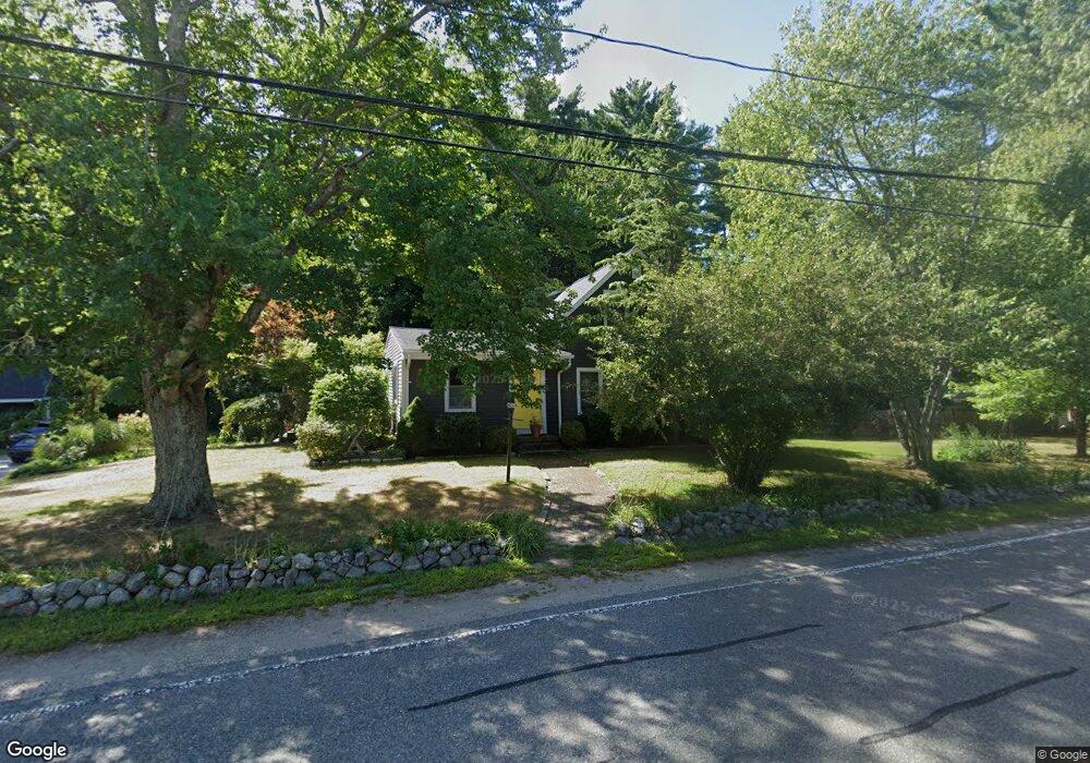
191 Spring St Hanover, MA 02339
Estimated Value: $656,000 - $771,000
3
Beds
1
Bath
1,797
Sq Ft
$389/Sq Ft
Est. Value
About This Home
This home is located at 191 Spring St, Hanover, MA 02339 and is currently estimated at $699,292, approximately $389 per square foot. 191 Spring St is a home located in Plymouth County with nearby schools including Hanover High School, Cadence Academy Preschool - Hanover, and The Master's Academy.
Ownership History
Date
Name
Owned For
Owner Type
Purchase Details
Closed on
Sep 19, 2008
Sold by
Shields Edward J and Shields Heidi B
Bought by
Shields Heidi B
Current Estimated Value
Purchase Details
Closed on
Nov 17, 2003
Sold by
Patrick Mark
Bought by
Shields Edward J and Shields Heidi B
Purchase Details
Closed on
Jul 31, 2000
Sold by
Duyette Cheryl A
Bought by
Patrick Mark
Create a Home Valuation Report for This Property
The Home Valuation Report is an in-depth analysis detailing your home's value as well as a comparison with similar homes in the area
Home Values in the Area
Average Home Value in this Area
Purchase History
| Date | Buyer | Sale Price | Title Company |
|---|---|---|---|
| Shields Heidi B | -- | -- | |
| Shields Heidi B | -- | -- | |
| Shields Edward J | $306,000 | -- | |
| Shields Edward J | $306,000 | -- | |
| Patrick Mark | $258,900 | -- | |
| Patrick Mark | $258,900 | -- |
Source: Public Records
Mortgage History
| Date | Status | Borrower | Loan Amount |
|---|---|---|---|
| Previous Owner | Patrick Mark | $384,000 |
Source: Public Records
Tax History
| Year | Tax Paid | Tax Assessment Tax Assessment Total Assessment is a certain percentage of the fair market value that is determined by local assessors to be the total taxable value of land and additions on the property. | Land | Improvement |
|---|---|---|---|---|
| 2025 | $6,759 | $547,300 | $269,600 | $277,700 |
| 2024 | $6,606 | $514,500 | $269,600 | $244,900 |
| 2023 | $6,509 | $482,500 | $245,100 | $237,400 |
| 2022 | $6,849 | $449,100 | $245,100 | $204,000 |
| 2021 | $5,142 | $425,600 | $222,700 | $202,900 |
| 2020 | $6,889 | $422,400 | $222,700 | $199,700 |
| 2019 | $0 | $400,000 | $222,700 | $177,300 |
| 2018 | $6,514 | $400,100 | $222,700 | $177,400 |
| 2017 | $5,540 | $358,000 | $209,900 | $148,100 |
| 2016 | $5,611 | $332,800 | $190,900 | $141,900 |
| 2015 | $5,078 | $314,400 | $190,900 | $123,500 |
Source: Public Records
Map
Nearby Homes
- 35 Sproul Rd
- 70 Bardin St
- 250 Center St
- 51 Cervelli Farm Dr
- 37 Dr
- 23 Cervelli Farm Dr
- 38 Cervelli Farm Dr
- 9 Cervelli Farm Dr
- 114 Graham Hill Dr
- 36 Grove St
- 33 1st Parish Ln
- 365 Broadway
- 62 Larchmont Ln
- 51 Farmside Dr
- 68 East St
- 7 Farmside Dr
- 60 Summer Path Way
- 285 W Elm St
- 95 Tecumseh Dr
- 506 Main St
Your Personal Tour Guide
Ask me questions while you tour the home.