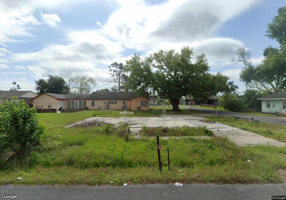
191 St Philip St Raceland, LA 70394
Estimated Value: $21,000 - $104,000
2
Beds
1
Bath
1,097
Sq Ft
$66/Sq Ft
Est. Value
About This Home
This home is located at 191 St Philip St, Raceland, LA 70394 and is currently estimated at $72,333, approximately $65 per square foot. 191 St Philip St is a home located in Lafourche Parish with nearby schools including Raceland Lower Elementary School, Raceland Upper Elementary School, and Raceland Middle School.
Ownership History
Date
Name
Owned For
Owner Type
Purchase Details
Closed on
Jan 12, 2022
Sold by
Green Kenyon Dennis
Bought by
Gray Kiaria
Current Estimated Value
Purchase Details
Closed on
Aug 22, 2019
Sold by
Lasseigne Dale A and Asseigne Dawn T
Bought by
Green Kenyon D
Home Financials for this Owner
Home Financials are based on the most recent Mortgage that was taken out on this home.
Original Mortgage
$65,110
Interest Rate
3.7%
Mortgage Type
Stand Alone Refi Refinance Of Original Loan
Purchase Details
Closed on
Aug 19, 2019
Sold by
Lasseigne Dale A and Asseigne Dawn T
Bought by
Green Kenyon D
Home Financials for this Owner
Home Financials are based on the most recent Mortgage that was taken out on this home.
Original Mortgage
$65,110
Interest Rate
3.7%
Mortgage Type
Stand Alone Refi Refinance Of Original Loan
Purchase Details
Closed on
Sep 20, 2018
Sold by
Shelby Debra M and Doyle Shenita
Bought by
Lasseigne Dale A and Lasseigne Dawn T
Create a Home Valuation Report for This Property
The Home Valuation Report is an in-depth analysis detailing your home's value as well as a comparison with similar homes in the area
Home Values in the Area
Average Home Value in this Area
Purchase History
| Date | Buyer | Sale Price | Title Company |
|---|---|---|---|
| Gray Kiaria | $3,000 | -- | |
| Green Kenyon D | $76,600 | -- | |
| Green Kenyon D | $76,600 | -- | |
| Lasseigne Dale A | $18,000 | -- |
Source: Public Records
Mortgage History
| Date | Status | Borrower | Loan Amount |
|---|---|---|---|
| Previous Owner | Green Kenyon D | $65,110 | |
| Previous Owner | Green Kenyon D | $65,110 |
Source: Public Records
Tax History Compared to Growth
Tax History
| Year | Tax Paid | Tax Assessment Tax Assessment Total Assessment is a certain percentage of the fair market value that is determined by local assessors to be the total taxable value of land and additions on the property. | Land | Improvement |
|---|---|---|---|---|
| 2023 | $80 | $650 | $650 | $0 |
| 2022 | $82 | $650 | $650 | $0 |
| 2021 | $78 | $650 | $650 | $0 |
| 2020 | $1,004 | $8,510 | $650 | $7,860 |
| 2019 | $928 | $7,560 | $650 | $6,910 |
| 2018 | $929 | $7,560 | $650 | $6,910 |
| 2017 | $934 | $7,560 | $650 | $6,910 |
| 2016 | $973 | $7,560 | $650 | $6,910 |
| 2015 | $979 | $7,560 | $0 | $0 |
| 2014 | $679 | $5,440 | $0 | $0 |
| 2013 | $679 | $5,440 | $0 | $0 |
Source: Public Records
Map
Nearby Homes
- 206 St Philip St
- 157 Leonard St
- 143 Market St
- 204 Market St
- 1991 Louisiana 182
- 151 Wilson St
- 196 Wilson St
- 430 Saint Louis St
- 434 St Louis St
- 3977 Louisiana 1
- 592 Saint Louis St
- 0 Saint Patrick St
- 4027 Highway 1
- 408 Dantin St
- 555 Saint Philip St
- 247 Bowie Rd
- TBD Danos St
- 703 Saint Philip St
- 569 Saint Ann St
- 756 Saint Philip St
- 191 Saint Philip St
- 242 St Louis St
- 413 Saint Philip St
- 205 Saint Philip St
- 190 Saint Philip St
- 190 St Philip St
- 234 St Louis St
- 203 St Philip St
- 177 Saint Philip St
- 177 St Philip St
- 283 Saint Louis St
- 215 Leonard St
- 203 Leonard St
- 230 St Louis St
- 241 Saint Louis St
- 253 St Louis St
- 173 Leonard St
- 146 Leonard St
- 173 St Philip St
- 245 Saint Louis St