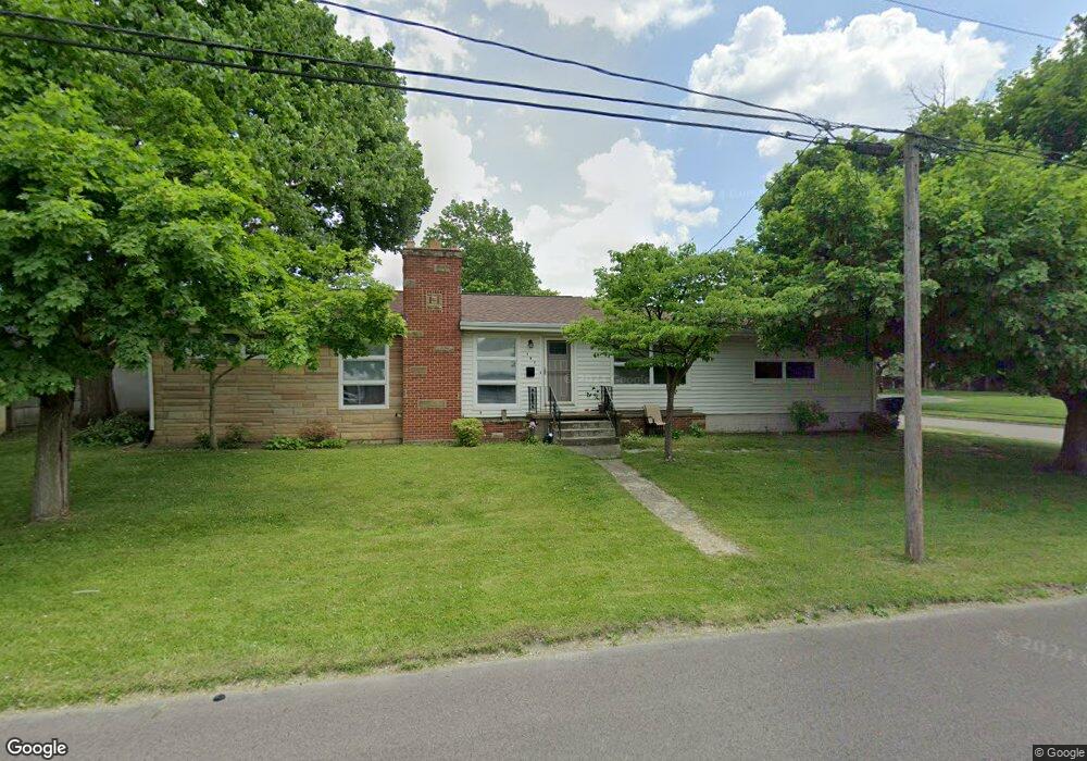
191 Stoddard Ave Akron, OH 44313
Northwest Akron NeighborhoodEstimated Value: $153,000 - $186,000
3
Beds
2
Baths
1,184
Sq Ft
$142/Sq Ft
Est. Value
About This Home
This home is located at 191 Stoddard Ave, Akron, OH 44313 and is currently estimated at $168,614, approximately $142 per square foot. 191 Stoddard Ave is a home located in Summit County with nearby schools including Case Community Learning Center, Summit Academy School, and Our Lady Of The Elms Elementary School.
Ownership History
Date
Name
Owned For
Owner Type
Purchase Details
Closed on
May 2, 2001
Sold by
Dulaney Thomas D
Bought by
Kansa Pamela E
Current Estimated Value
Home Financials for this Owner
Home Financials are based on the most recent Mortgage that was taken out on this home.
Original Mortgage
$76,000
Outstanding Balance
$28,210
Interest Rate
6.95%
Estimated Equity
$140,404
Create a Home Valuation Report for This Property
The Home Valuation Report is an in-depth analysis detailing your home's value as well as a comparison with similar homes in the area
Home Values in the Area
Average Home Value in this Area
Purchase History
| Date | Buyer | Sale Price | Title Company |
|---|---|---|---|
| Kansa Pamela E | $95,000 | Midland Commerce Group |
Source: Public Records
Mortgage History
| Date | Status | Borrower | Loan Amount |
|---|---|---|---|
| Open | Kansa Pamela E | $76,000 |
Source: Public Records
Tax History Compared to Growth
Tax History
| Year | Tax Paid | Tax Assessment Tax Assessment Total Assessment is a certain percentage of the fair market value that is determined by local assessors to be the total taxable value of land and additions on the property. | Land | Improvement |
|---|---|---|---|---|
| 2025 | $2,218 | $39,372 | $8,582 | $30,790 |
| 2024 | $2,218 | $39,372 | $8,582 | $30,790 |
| 2023 | $2,218 | $39,372 | $8,582 | $30,790 |
| 2022 | $2,075 | $28,739 | $6,265 | $22,474 |
| 2021 | $2,077 | $28,739 | $6,265 | $22,474 |
| 2020 | $2,047 | $28,740 | $6,270 | $22,470 |
| 2019 | $2,540 | $33,090 | $8,270 | $24,820 |
| 2018 | $2,507 | $33,090 | $8,270 | $24,820 |
| 2017 | $2,453 | $33,090 | $8,270 | $24,820 |
| 2016 | $2,455 | $31,790 | $8,270 | $23,520 |
| 2015 | $2,453 | $31,790 | $8,270 | $23,520 |
| 2014 | $2,434 | $31,790 | $8,270 | $23,520 |
| 2013 | $2,550 | $34,160 | $8,270 | $25,890 |
Source: Public Records
Map
Nearby Homes
- 1725 Liberty Dr Unit 1727
- 1688 Tanglewood Dr Unit 1690
- 1633-1635 Liberty Dr
- 1623 Liberty Dr Unit 1625
- 242 N Hawkins Ave
- 100 N Hawkins Ave
- 101 N Hawkins Ave
- 1883 Larchmont Rd
- 84 S Pershing Ave
- 2040 Thurmont Rd
- 1785 Fairlawn Knolls Dr
- 2024 Braewick Dr
- 2040 Braewick Dr
- 297 Harcourt Dr
- 311 Goodhue Dr
- 325 Melbourne Ave
- 590 N Hawkins Ave
- 2113 Stabler Rd
- 0 White Pond Dr Unit 5156539
- 1804-1808 Cromwell Dr
- 1689 Shatto Ave
- 190 Stoddard Ave Unit 192
- 1681 Shatto Ave
- 1730 Liberty Dr Unit 1732
- 1726 Liberty Dr Unit 1728
- 1728 Liberty Dr
- 1709 Shatto Ave Unit 1711
- 204 Stoddard Ave Unit 208
- 1722 Liberty Dr Unit 1724
- 1722 Liberty Dr
- 1722 Liberty Dr Unit 1722-1724 liberty
- 1716 Liberty Dr Unit 1718
- 1746 Liberty Dr Unit 1748
- 1718 Liberty Dr
- 1713 Shatto Ave Unit 1715
- 1713 Shatto Ave Unit 1713 Shatto Avenue
- 1715 Shatto Ave
- 1712 Liberty Dr Unit 1714
- 1675 Shatto Ave Unit 1677
- 1675 Shatto Ave Unit 1677