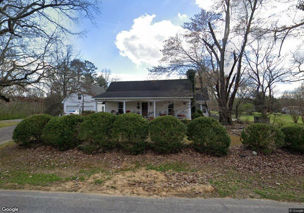
1910 Center Grove Rd Rock Spring, GA 30739
Rock Spring NeighborhoodEstimated Value: $267,000 - $358,000
--
Bed
2
Baths
1,692
Sq Ft
$186/Sq Ft
Est. Value
About This Home
This home is located at 1910 Center Grove Rd, Rock Spring, GA 30739 and is currently estimated at $314,113, approximately $185 per square foot. 1910 Center Grove Rd is a home located in Walker County with nearby schools including Rock Spring Elementary School, Lafayette High School, and Alice M Daley Adventist School.
Ownership History
Date
Name
Owned For
Owner Type
Purchase Details
Closed on
Jan 20, 2022
Sold by
Neal Shirley
Bought by
Martin Milton C
Current Estimated Value
Home Financials for this Owner
Home Financials are based on the most recent Mortgage that was taken out on this home.
Original Mortgage
$427,500
Outstanding Balance
$418,342
Interest Rate
2.23%
Mortgage Type
FHA
Estimated Equity
-$104,229
Purchase Details
Closed on
Jul 28, 1969
Bought by
Neal Michael C and Neal Shirley
Create a Home Valuation Report for This Property
The Home Valuation Report is an in-depth analysis detailing your home's value as well as a comparison with similar homes in the area
Home Values in the Area
Average Home Value in this Area
Purchase History
| Date | Buyer | Sale Price | Title Company |
|---|---|---|---|
| Martin Milton C | -- | -- | |
| Neal Michael C | -- | -- |
Source: Public Records
Mortgage History
| Date | Status | Borrower | Loan Amount |
|---|---|---|---|
| Open | Martin Milton C | $427,500 |
Source: Public Records
Tax History Compared to Growth
Tax History
| Year | Tax Paid | Tax Assessment Tax Assessment Total Assessment is a certain percentage of the fair market value that is determined by local assessors to be the total taxable value of land and additions on the property. | Land | Improvement |
|---|---|---|---|---|
| 2024 | $1,428 | $97,508 | $24,637 | $72,871 |
| 2023 | $1,307 | $89,824 | $19,554 | $70,270 |
| 2022 | $1,184 | $80,987 | $19,863 | $61,124 |
| 2021 | $923 | $65,139 | $19,863 | $45,276 |
| 2020 | $489 | $54,505 | $19,863 | $34,642 |
| 2019 | $506 | $54,505 | $19,863 | $34,642 |
| 2018 | $1,442 | $54,505 | $19,863 | $34,642 |
| 2017 | $1,267 | $54,505 | $19,863 | $34,642 |
| 2016 | $967 | $54,505 | $19,863 | $34,642 |
| 2015 | $937 | $46,843 | $15,209 | $31,634 |
| 2014 | $844 | $46,843 | $15,209 | $31,634 |
| 2013 | -- | $46,843 | $15,208 | $31,634 |
Source: Public Records
Map
Nearby Homes
- 0 Tarvin Rd Unit 1523862
- 0 Clyde Byrd Rd
- 0 Colbert Hollow Rd Unit 1513202
- 0 Veeler Rd Unit 1522679
- 0 Veeler Rd Unit 10628696
- 0 Cheshire Crossing Dr Unit 1387793
- 5602 Georgia 95
- 00 Georgia 95
- 10180 Us Highway 27
- 1585 E Reed Rd
- 287 E Teems Rd
- 265 Rodeo Dr
- 15 Willow Cir
- 0 E Teems Rd Unit 7573954
- 23 Willow Cir
- 16 Willow Cir
- 11 Willow Cir
- 1910 Center Grove Rd
- 1871 Center Grove Rd
- 1993 Center Grove Rd
- 1978 Center Grove Rd
- 1839 Center Grove Rd
- 2016 Center Grove Rd
- 2057 Center Grove Rd
- 254 Ringgold Rd
- 2056 Center Grove Rd
- 224 Ringgold Rd
- 248 Ringgold Rd
- 32 Ringgold Rd
- 1786 Center Grove Rd
- 360 Ringgold Rd
- 1677 Center Grove Rd
- 1703 Center Grove Rd
- 70 Ringgold Rd
- 851 Hankins Rd
- 1720 Center Grove Rd
- 819 Hankins Rd