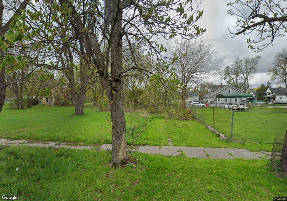
1910 Cherry St Saginaw, MI 48601
Houghton Jones NeighborhoodEstimated Value: $34,000 - $62,000
--
Bed
--
Bath
886
Sq Ft
$55/Sq Ft
Est. Value
About This Home
This home is located at 1910 Cherry St, Saginaw, MI 48601 and is currently estimated at $48,667, approximately $54 per square foot. 1910 Cherry St is a home located in Saginaw County with nearby schools including Thompson Middle School, Saginaw United High School, and Saginaw Learn To Earn Academy.
Ownership History
Date
Name
Owned For
Owner Type
Purchase Details
Closed on
Nov 1, 2012
Sold by
Mausolf Barbara L
Bought by
Saginaw County Land Bank Authority
Current Estimated Value
Purchase Details
Closed on
Aug 21, 2002
Sold by
Dept Of Natural Resources-00
Bought by
Merrill Collins
Purchase Details
Closed on
May 2, 2000
Sold by
Burns Dan E and Burns Etta I
Bought by
Dept Of Natural Resources-00
Purchase Details
Closed on
May 26, 1983
Sold by
Burns Leonard and Burns Diana
Bought by
Burns Dan E and Burns Etta I
Purchase Details
Closed on
Nov 29, 1978
Sold by
Liedeke Carl R and Liedeke Ann
Bought by
Burns Leonard and Burns Betty
Create a Home Valuation Report for This Property
The Home Valuation Report is an in-depth analysis detailing your home's value as well as a comparison with similar homes in the area
Home Values in the Area
Average Home Value in this Area
Purchase History
| Date | Buyer | Sale Price | Title Company |
|---|---|---|---|
| Saginaw County Land Bank Authority | -- | -- | |
| Merrill Collins | $500 | -- | |
| Merrill Collins | $500 | -- | |
| Dept Of Natural Resources-00 | -- | -- | |
| Burns Dan E | -- | -- | |
| Burns Leonard | $4,500 | -- |
Source: Public Records
Tax History Compared to Growth
Tax History
| Year | Tax Paid | Tax Assessment Tax Assessment Total Assessment is a certain percentage of the fair market value that is determined by local assessors to be the total taxable value of land and additions on the property. | Land | Improvement |
|---|---|---|---|---|
| 2025 | $37 | $500 | $0 | $0 |
| 2024 | $31 | $500 | $0 | $0 |
| 2023 | $31 | $500 | $0 | $0 |
| 2022 | -- | $0 | $0 | $0 |
| 2021 | $0 | $0 | $0 | $0 |
| 2020 | $0 | $0 | $0 | $0 |
| 2019 | $0 | $0 | $0 | $0 |
| 2018 | $0 | $0 | $0 | $0 |
| 2017 | $0 | $0 | $0 | $0 |
| 2016 | -- | $0 | $0 | $0 |
| 2014 | -- | $0 | $0 | $0 |
| 2013 | -- | $0 | $0 | $0 |
Source: Public Records
Map
Nearby Homes
- 524 S 14th St
- 441 S 11th St
- 213 S 12th St
- 346 S 7th St
- 1919 Perkins St
- 3361 Burt St
- 2420 Bancroft St
- 1610 E Genesee Ave
- 1103,1107,1111,1115 S Park Ave
- 915 Burt St
- 924 Federal Ave
- 550 S Weadock Ave
- 514 N 8th St
- 2143 Whittier St
- 1346 Carlisle St
- 436 S 27th St
- 644 S 26th St
- 631 Cathay St
- 515 Thompson St
- 2009 E Holland Rd