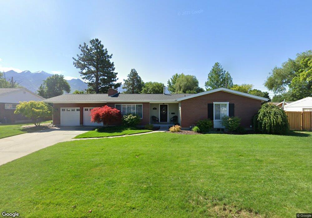
1910 E Brookhill Dr Salt Lake City, UT 84121
Estimated Value: $649,000 - $731,027
4
Beds
3
Baths
2,800
Sq Ft
$245/Sq Ft
Est. Value
About This Home
This home is located at 1910 E Brookhill Dr, Salt Lake City, UT 84121 and is currently estimated at $686,257, approximately $245 per square foot. 1910 E Brookhill Dr is a home located in Salt Lake County with nearby schools including Ridgecrest School, Butler Middle School, and Brighton High School.
Ownership History
Date
Name
Owned For
Owner Type
Purchase Details
Closed on
Jan 25, 1996
Sold by
Mitchell Delbert B and Mitchell Myrel G
Bought by
Childs Paul H and Childs Chrissy S
Current Estimated Value
Home Financials for this Owner
Home Financials are based on the most recent Mortgage that was taken out on this home.
Original Mortgage
$136,800
Outstanding Balance
$4,552
Interest Rate
7.18%
Estimated Equity
$681,705
Create a Home Valuation Report for This Property
The Home Valuation Report is an in-depth analysis detailing your home's value as well as a comparison with similar homes in the area
Home Values in the Area
Average Home Value in this Area
Purchase History
| Date | Buyer | Sale Price | Title Company |
|---|---|---|---|
| Childs Paul H | -- | -- |
Source: Public Records
Mortgage History
| Date | Status | Borrower | Loan Amount |
|---|---|---|---|
| Open | Childs Paul H | $136,800 |
Source: Public Records
Tax History Compared to Growth
Tax History
| Year | Tax Paid | Tax Assessment Tax Assessment Total Assessment is a certain percentage of the fair market value that is determined by local assessors to be the total taxable value of land and additions on the property. | Land | Improvement |
|---|---|---|---|---|
| 2025 | $3,645 | $681,100 | $228,800 | $452,300 |
| 2024 | $3,645 | $650,000 | $219,700 | $430,300 |
| 2023 | $3,165 | $548,900 | $208,800 | $340,100 |
| 2022 | $3,330 | $569,800 | $204,800 | $365,000 |
| 2021 | $2,924 | $416,400 | $172,500 | $243,900 |
| 2020 | $2,878 | $385,100 | $172,500 | $212,600 |
| 2019 | $2,757 | $358,300 | $162,800 | $195,500 |
| 2018 | $2,491 | $336,500 | $162,800 | $173,700 |
| 2017 | $2,387 | $312,900 | $162,800 | $150,100 |
| 2016 | $2,391 | $303,900 | $90,300 | $213,600 |
| 2015 | $2,322 | $273,500 | $92,100 | $181,400 |
| 2014 | $2,236 | $256,000 | $89,400 | $166,600 |
Source: Public Records
Map
Nearby Homes
- 1866 Village Rd E
- 6851 Meadow Dr E
- 1900 E 6400 S
- 2063 E Kane Cir
- 2054 E 6425 S
- 6707 S 1655 E Unit LOT 2
- 6840 S Willow Way
- 6385 S 1765 E
- 1870 E Monterey Dr Unit M55
- 7006 S Chris Ln
- 1876 E Casino Way
- 6576 S 1615 E
- 2193 E 6525 S
- 2196 E 6450 S
- 6587 S 1570 E
- 6378 Meadowcrest Rd E
- 1920 E 7130 S
- 1938 E 7130 S
- 7034 S Cadens Cove
- 6578 S 1570 E
- 1910 Brookhill Dr
- 1920 Brookhill Dr
- 1920 E Brookhill Dr
- 1900 E Brookhill Dr
- 1921 Village Rd
- 1900 Brookhill Dr
- 1921 E Village Rd
- 1911 Village Rd
- 1931 Village Rd
- 1911 Brookhill Dr
- 1930 Brookhill Dr
- 1930 E Brookhill Dr
- 1939 Village Rd
- 1895 Brookhill Dr
- 1886 Brookhill Dr
- 1921 E Brookhill Dr
- 1921 Brookhill Dr
- 1905 E Village Rd
- 1905 Village Rd
- 1940 Brookhill Dr