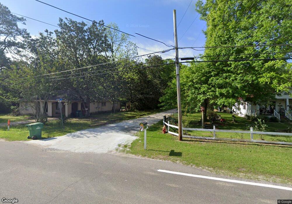
1910 E Canal St Picayune, MS 39466
Estimated Value: $154,800 - $180,000
Studio
1
Bath
1,446
Sq Ft
$115/Sq Ft
Est. Value
About This Home
This home is located at 1910 E Canal St, Picayune, MS 39466 and is currently estimated at $166,200, approximately $114 per square foot. 1910 E Canal St is a home located in Pearl River County with nearby schools including West Side Elementary School, Picayune Junior High School, and Picayune Memorial High School.
Ownership History
Date
Name
Owned For
Owner Type
Purchase Details
Closed on
Mar 18, 2021
Sold by
Catrambone Christopher C and Catrambone Margo
Bought by
1906 East Canal Street Family Trust and Te
Current Estimated Value
Home Financials for this Owner
Home Financials are based on the most recent Mortgage that was taken out on this home.
Original Mortgage
$4,000
Outstanding Balance
$134
Interest Rate
0.23%
Mortgage Type
Construction
Estimated Equity
$166,066
Purchase Details
Closed on
Apr 25, 2012
Sold by
Federal National Mortgage Association
Bought by
Catambone Christopher Corey and Catrambone Margo
Create a Home Valuation Report for This Property
The Home Valuation Report is an in-depth analysis detailing your home's value as well as a comparison with similar homes in the area
Purchase History
| Date | Buyer | Sale Price | Title Company |
|---|---|---|---|
| 1906 East Canal Street Family Trust | $5,000 | Attorney Only | |
| Catambone Christopher Corey | -- | -- |
Source: Public Records
Mortgage History
| Date | Status | Borrower | Loan Amount |
|---|---|---|---|
| Open | 1906 East Canal Street Family Trust | $4,000 |
Source: Public Records
Tax History
| Year | Tax Paid | Tax Assessment Tax Assessment Total Assessment is a certain percentage of the fair market value that is determined by local assessors to be the total taxable value of land and additions on the property. | Land | Improvement |
|---|---|---|---|---|
| 2025 | $2,015 | $12,476 | $0 | $0 |
| 2024 | $2,015 | $12,014 | $0 | $0 |
| 2023 | $1,941 | $11,006 | $0 | $0 |
| 2022 | $1,828 | $11,006 | $0 | $0 |
| 2021 | $924 | $7,337 | $0 | $0 |
| 2020 | $841 | $7,337 | $0 | $0 |
| 2019 | $792 | $6,955 | $0 | $0 |
| 2018 | $819 | $7,147 | $0 | $0 |
| 2017 | $0 | $7,147 | $0 | $0 |
| 2016 | $807 | $7,147 | $0 | $0 |
| 2015 | -- | $5,803 | $0 | $0 |
| 2014 | -- | $5,803 | $0 | $0 |
Source: Public Records
Map
Nearby Homes
- Bent Creek Lot S27
- Bent Creek Lot S20
- Bent Creek Lot S23
- Bent Creek Lot S24
- Bent Creek Lot S14
- 2212 E Canal St
- 0 S Loftin Ave Unit 186434
- 100 S Loftin St
- 1115 Warren St
- Lot of 3 Satcher Dr
- 299 Frontage Rd
- NHN Katie Beck Dees Street Lot 3 4 & 5
- 2 Pond Vista Dr
- 197 S Jackson Ave
- 00 Hwy 11 N
- 2498 Highway 43 S
- 801 Fourth St
- 801 4th St
- 0 Elm St
- 00 Elm St
- 1906 E Canal St
- 1904 E Canal St
- 1903 E Canal St
- 1902 E Canal St
- 1907 E Canal St Unit B
- 1800 E Canal St
- 2103 E Canal St
- 2015 E Canal St Unit A
- 2015 E Canal St Unit B
- 2016 E Canal St
- 2017 E Canal St Unit A
- 2017 E Canal St Unit B
- 2017 E Canal St
- 2019 E Canal St Unit B
- 2019 E Canal St Unit A
- 2019 E Canal St
- 2009 E Canal St
- Lot 17
- Lot 16
- Lot 13
Your Personal Tour Guide
Ask me questions while you tour the home.