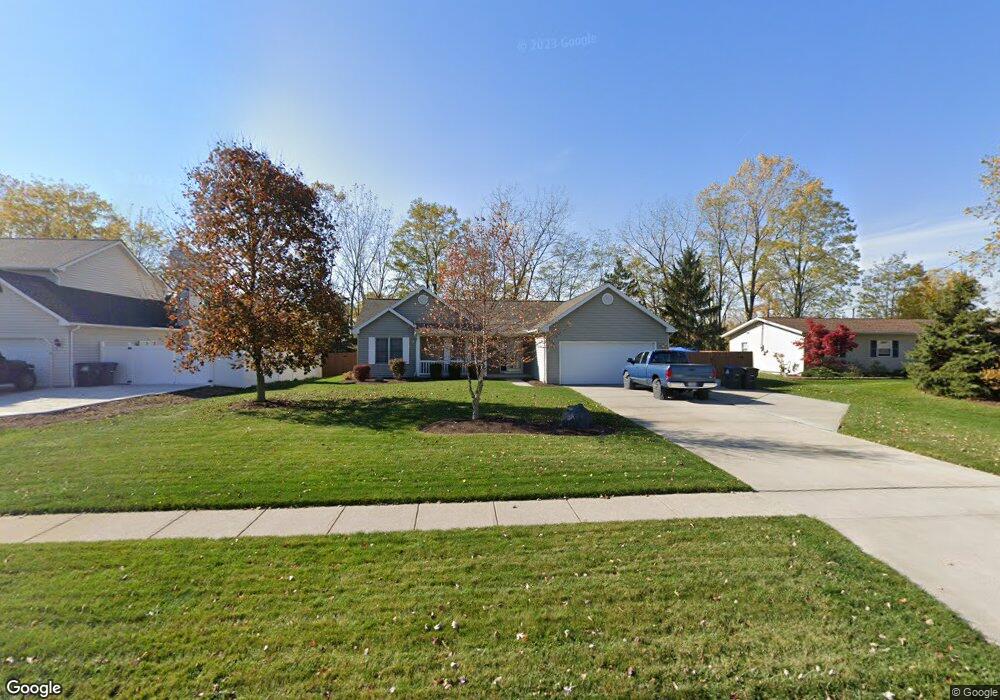
1910 George Dr Brunswick, OH 44212
Estimated Value: $288,512 - $306,000
3
Beds
2
Baths
1,309
Sq Ft
$227/Sq Ft
Est. Value
About This Home
This home is located at 1910 George Dr, Brunswick, OH 44212 and is currently estimated at $297,378, approximately $227 per square foot. 1910 George Dr is a home located in Medina County with nearby schools including Applewood Elementary School, Willets Middle School, and Brunswick High School.
Ownership History
Date
Name
Owned For
Owner Type
Purchase Details
Closed on
Jun 21, 2002
Sold by
Skapes Lynn M
Bought by
Skapes Gregory
Current Estimated Value
Home Financials for this Owner
Home Financials are based on the most recent Mortgage that was taken out on this home.
Original Mortgage
$124,000
Outstanding Balance
$52,874
Interest Rate
6.93%
Estimated Equity
$244,504
Purchase Details
Closed on
Jul 6, 1995
Sold by
Arlington Estates
Bought by
Skapes Greg T and Skapes Lynn M
Create a Home Valuation Report for This Property
The Home Valuation Report is an in-depth analysis detailing your home's value as well as a comparison with similar homes in the area
Home Values in the Area
Average Home Value in this Area
Purchase History
| Date | Buyer | Sale Price | Title Company |
|---|---|---|---|
| Skapes Gregory | -- | Third Capital | |
| Skapes Greg T | $33,000 | -- |
Source: Public Records
Mortgage History
| Date | Status | Borrower | Loan Amount |
|---|---|---|---|
| Open | Skapes Gregory | $124,000 |
Source: Public Records
Tax History Compared to Growth
Tax History
| Year | Tax Paid | Tax Assessment Tax Assessment Total Assessment is a certain percentage of the fair market value that is determined by local assessors to be the total taxable value of land and additions on the property. | Land | Improvement |
|---|---|---|---|---|
| 2024 | $3,781 | $76,460 | $23,810 | $52,650 |
| 2023 | $3,781 | $76,460 | $23,810 | $52,650 |
| 2022 | $3,576 | $76,460 | $23,810 | $52,650 |
| 2021 | $3,147 | $60,320 | $18,900 | $41,420 |
| 2020 | $2,831 | $60,320 | $18,900 | $41,420 |
| 2019 | $2,832 | $60,320 | $18,900 | $41,420 |
| 2018 | $2,519 | $50,880 | $16,400 | $34,480 |
| 2017 | $2,522 | $50,880 | $16,400 | $34,480 |
| 2016 | $2,520 | $50,880 | $16,400 | $34,480 |
| 2015 | $2,412 | $47,110 | $15,180 | $31,930 |
| 2014 | $2,404 | $47,110 | $15,180 | $31,930 |
| 2013 | $2,351 | $47,110 | $15,180 | $31,930 |
Source: Public Records
Map
Nearby Homes
- 1960 George Dr
- 4186 Saint James Dr
- 4200 Raymond Dr
- 1821 Stone Manor Cir
- 4231 Shalbey Trail
- 4374 Lochs Ln
- 2088 Glenmont
- ABBY TH Plan at Market Highlands
- LIBBY TH Plan at Market Highlands
- LUCAS TH Plan at Market Highlands
- 2105 Glenmont
- 2090 Glenmont
- 2091 Glenmont
- 2097 Glenmont
- 4104 Arlington Dr
- 2075 Glenmont
- 4075 Sterling Station Dr
- 4464 Newcastle Cove
- 4227 Sleepy Hollow Rd
- 1851 Manningford Oval
- 1920 George Dr
- 1900 George Dr
- 1930 George Dr
- 1892 George Dr
- 4239 Sterling Station Dr
- 4240 Saint James Dr
- 1940 George Dr
- 4231 Sterling Station Dr
- 1882 George Dr
- 4230 Saint James Dr
- 4238 Sterling Station Dr
- 1950 George Dr
- 1881 George Dr
- 4223 Sterling Station Dr
- 4220 Saint James Dr
- 1872 George Dr
- 1925 Pearl Rd
- 4285 Arlington Dr
- 4227 Saint James Dr
- 4215 Sterling Station Dr