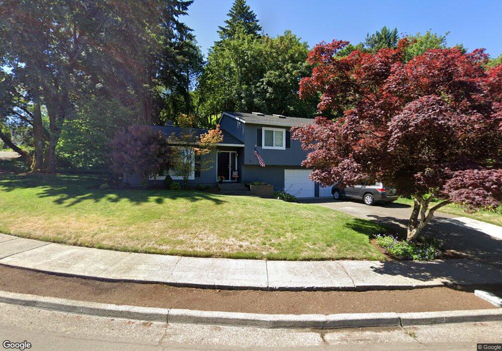
1910 Kilkenny Rd Lake Oswego, OR 97034
McVey-South Shore NeighborhoodEstimated Value: $819,739 - $1,064,000
4
Beds
3
Baths
2,498
Sq Ft
$392/Sq Ft
Est. Value
About This Home
This home is located at 1910 Kilkenny Rd, Lake Oswego, OR 97034 and is currently estimated at $979,685, approximately $392 per square foot. 1910 Kilkenny Rd is a home located in Clackamas County with nearby schools including Hallinan Elementary School, Lakeridge Middle School, and Lakeridge High School.
Ownership History
Date
Name
Owned For
Owner Type
Purchase Details
Closed on
Jun 11, 2001
Sold by
Lowe Michael V and Lowe Luanne M
Bought by
Mindt James Gregg and Mindt Linda C
Current Estimated Value
Home Financials for this Owner
Home Financials are based on the most recent Mortgage that was taken out on this home.
Original Mortgage
$243,200
Outstanding Balance
$91,550
Interest Rate
7.14%
Estimated Equity
$888,135
Purchase Details
Closed on
Aug 23, 1996
Sold by
Lea James A and Lea Norma L
Bought by
Lowe Michael and Lowe Luanne M
Home Financials for this Owner
Home Financials are based on the most recent Mortgage that was taken out on this home.
Original Mortgage
$136,250
Interest Rate
8.42%
Create a Home Valuation Report for This Property
The Home Valuation Report is an in-depth analysis detailing your home's value as well as a comparison with similar homes in the area
Home Values in the Area
Average Home Value in this Area
Purchase History
| Date | Buyer | Sale Price | Title Company |
|---|---|---|---|
| Mindt James Gregg | $304,000 | Fidelity National Title Co | |
| Lowe Michael | $181,700 | Ticor Title Insurance |
Source: Public Records
Mortgage History
| Date | Status | Borrower | Loan Amount |
|---|---|---|---|
| Open | Mindt James Gregg | $243,200 | |
| Previous Owner | Lowe Michael | $136,250 |
Source: Public Records
Tax History Compared to Growth
Tax History
| Year | Tax Paid | Tax Assessment Tax Assessment Total Assessment is a certain percentage of the fair market value that is determined by local assessors to be the total taxable value of land and additions on the property. | Land | Improvement |
|---|---|---|---|---|
| 2025 | $7,054 | $368,128 | -- | -- |
| 2024 | $6,866 | $357,406 | -- | -- |
| 2023 | $6,866 | $346,997 | $0 | $0 |
| 2022 | $6,467 | $336,891 | $0 | $0 |
| 2021 | $5,972 | $327,079 | $0 | $0 |
| 2020 | $5,822 | $317,553 | $0 | $0 |
| 2019 | $5,679 | $308,304 | $0 | $0 |
| 2018 | $5,400 | $299,324 | $0 | $0 |
| 2017 | $5,211 | $290,606 | $0 | $0 |
| 2016 | $4,743 | $282,142 | $0 | $0 |
| 2015 | $4,582 | $273,924 | $0 | $0 |
| 2014 | $4,523 | $265,946 | $0 | $0 |
Source: Public Records
Map
Nearby Homes
- 1720 Kilkenny Dr
- 1710 S Shore Blvd
- 1725 Southshore Blvd
- 1405 Cherry Crest Ave
- 1520 Cherry Crest Ave
- 1535 Larch St
- 1865 Palisades Lake Ct
- 1093 Tyndall Ct
- 1674 Fircrest Dr
- 1015 Southshore Blvd
- 1872 Palisades Terrace Dr
- 731 Clara Ct
- 1224 Tyndall Ct
- 1247 Spruce St
- 1300 Tyndall Ct
- 1225 Spruce St
- 800 Terrace Dr
- 1206 Cedar St
- 1527 Lake Front Rd
- 1467 Greentree Cir
- 1950 Kilkenny Rd
- 1798 Kilkenny Rd
- 1901 Kilkenny Rd
- 1931 Kilkenny Rd
- 1921 Kilkenny Rd
- 1911 Kilkenny Rd
- 1795 Kilkenny Rd
- 1880 Kilkenny Dr
- 1970 Kilkenny Rd
- 1788 Kilkenny Rd
- 1941 Kilkenny Rd
- 1752 Fern Place
- 1971 Kilkenny Rd
- 1861 Kilkenny Dr
- 1775 Kilkenny Rd
- 1766 Fern Place
- 1872 Kilkenny Dr
- 1951 Kilkenny Rd
- 1778 Kilkenny Rd
- 1778 Fern Place