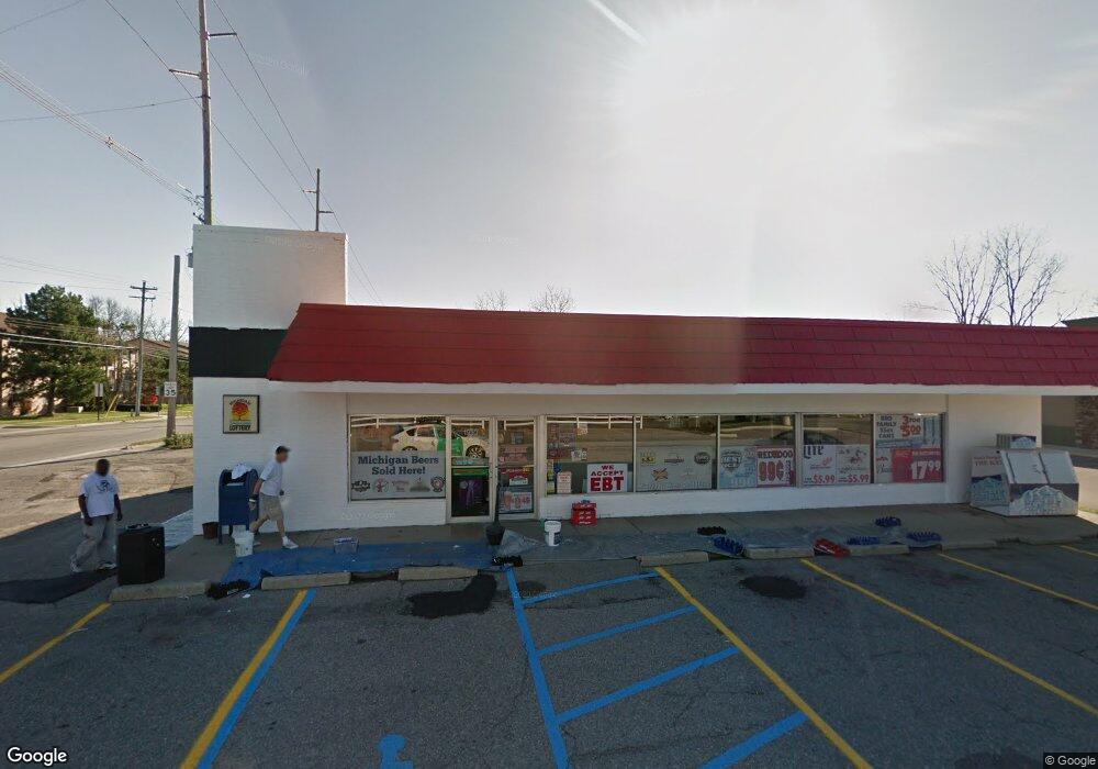
1910 Lake Lansing Rd Lansing, MI 48912
Northtown NeighborhoodEstimated Value: $379,185
--
Bed
--
Bath
2,944
Sq Ft
$129/Sq Ft
Est. Value
About This Home
This home is located at 1910 Lake Lansing Rd, Lansing, MI 48912 and is currently estimated at $379,185, approximately $128 per square foot. 1910 Lake Lansing Rd is a home located in Ingham County with nearby schools including Pattengill Academy, Gier Park School, and Eastern High School.
Ownership History
Date
Name
Owned For
Owner Type
Purchase Details
Closed on
Mar 16, 2022
Sold by
Baldino Michael R and Baldino Sandra K
Bought by
E Squared Holdings Inc
Current Estimated Value
Purchase Details
Closed on
Nov 1, 2016
Sold by
E Squared Holdings Inc
Bought by
L And G Property Acquisition Llc
Create a Home Valuation Report for This Property
The Home Valuation Report is an in-depth analysis detailing your home's value as well as a comparison with similar homes in the area
Home Values in the Area
Average Home Value in this Area
Purchase History
| Date | Buyer | Sale Price | Title Company |
|---|---|---|---|
| E Squared Holdings Inc | $225,000 | Ata National Title | |
| L And G Property Acquisition Llc | -- | None Available |
Source: Public Records
Mortgage History
| Date | Status | Borrower | Loan Amount |
|---|---|---|---|
| Closed | L And G Property Acquisition Llc | $0 |
Source: Public Records
Tax History Compared to Growth
Tax History
| Year | Tax Paid | Tax Assessment Tax Assessment Total Assessment is a certain percentage of the fair market value that is determined by local assessors to be the total taxable value of land and additions on the property. | Land | Improvement |
|---|---|---|---|---|
| 2025 | $10,787 | $153,500 | $43,100 | $110,400 |
| 2024 | $47 | $146,700 | $43,100 | $103,600 |
| 2023 | $9,981 | $150,200 | $43,100 | $107,100 |
| 2022 | $9,534 | $145,300 | $43,100 | $102,200 |
| 2021 | $9,664 | $148,200 | $43,100 | $105,100 |
| 2020 | $8,891 | $149,600 | $43,100 | $106,500 |
| 2019 | $8,923 | $129,700 | $41,800 | $87,900 |
| 2018 | $8,253 | $113,200 | $33,500 | $79,700 |
| 2017 | $7,773 | $113,200 | $33,500 | $79,700 |
| 2016 | -- | $115,400 | $33,500 | $81,900 |
| 2015 | -- | $112,000 | $67,000 | $45,000 |
| 2014 | -- | $106,600 | $92,334 | $14,266 |
Source: Public Records
Map
Nearby Homes
- 14120 Wood St
- 1923 Gay Ln
- 2625 Groesbeck Ave
- 0 Lake Lansing Rd Unit 289258
- 2318 N High St
- 1811 Vermont Ave
- 1706 Autumn Ln
- 1016 Lake Lansing Rd
- 1610 Autumn Ln
- 1613 Massachusetts Ave
- 801 Banghart St
- 1017 Whyte St
- 1810 N High St
- 2521 Hopkins Ave
- 1527 Massachusetts Ave
- 1624 N High St
- 1226 N Hayford Ave
- 1530 New York Ave
- 1317 Illinois Ave
- 816 Orchard Glen Ave
- 2707 Wood St
- 1813 Lake Lansing Rd
- 2030 Lake Lansing Rd
- 1809 Lake Lansing Rd
- 2110 Lake Lansing Rd
- 2723 Wood St
- 1720 Lake Lansing Rd
- 2727 Wood St
- 2320 Wood St
- 2510 Lake Lansing Rd
- 2733 Wood St
- 1701 Lake Lansing Rd
- 1827 Barritt St
- 2001 Barritt St
- 2111 Barritt St
- 2011 Barritt St
- 2019 Barritt St
- 1634 Lake Lansing Rd
- 2107 Barritt St
- 2117 Barritt St