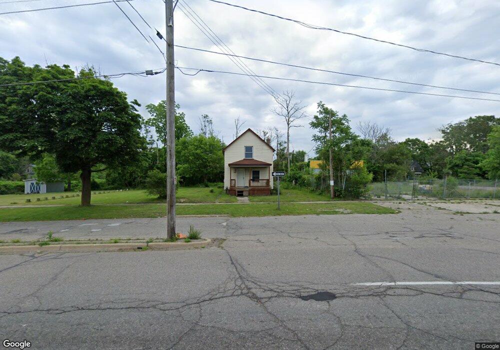
1910 Lewis St Flint, MI 48506
Eastside NeighborhoodEstimated Value: $40,000 - $54,000
3
Beds
1
Bath
1,183
Sq Ft
$40/Sq Ft
Est. Value
About This Home
This home is located at 1910 Lewis St, Flint, MI 48506 and is currently estimated at $46,782, approximately $39 per square foot. 1910 Lewis St is a home located in Genesee County with nearby schools including Potter School, Flint Cultural Center Academy, and WAY Academy of Flint.
Ownership History
Date
Name
Owned For
Owner Type
Purchase Details
Closed on
Oct 21, 2021
Sold by
The Genesee County Land Bank Authority
Bought by
Zuccaro Asa Salvatore Ascencio
Current Estimated Value
Home Financials for this Owner
Home Financials are based on the most recent Mortgage that was taken out on this home.
Original Mortgage
$10,051
Outstanding Balance
$9,176
Interest Rate
2.88%
Mortgage Type
Land Contract Argmt. Of Sale
Estimated Equity
$37,606
Purchase Details
Closed on
Dec 18, 2018
Sold by
Cherry Deborah L
Bought by
Genesee County Land Bank Authority
Purchase Details
Closed on
Sep 24, 2009
Sold by
Lich Constance and Estate Of Robert John Trepanie
Bought by
Trepanier David
Create a Home Valuation Report for This Property
The Home Valuation Report is an in-depth analysis detailing your home's value as well as a comparison with similar homes in the area
Home Values in the Area
Average Home Value in this Area
Purchase History
| Date | Buyer | Sale Price | Title Company |
|---|---|---|---|
| Zuccaro Asa Salvatore Ascencio | -- | None Available | |
| Genesee County Land Bank Authority | -- | None Available | |
| Trepanier David | -- | None Available |
Source: Public Records
Mortgage History
| Date | Status | Borrower | Loan Amount |
|---|---|---|---|
| Open | Zuccaro Asa Salvatore Ascencio | $10,051 |
Source: Public Records
Tax History
| Year | Tax Paid | Tax Assessment Tax Assessment Total Assessment is a certain percentage of the fair market value that is determined by local assessors to be the total taxable value of land and additions on the property. | Land | Improvement |
|---|---|---|---|---|
| 2025 | $864 | $9,200 | $0 | $0 |
| 2024 | $806 | $11,400 | $0 | $0 |
| 2023 | $793 | $9,600 | $0 | $0 |
| 2022 | $0 | $7,600 | $0 | $0 |
| 2021 | $0 | $0 | $0 | $0 |
| 2020 | $0 | $0 | $0 | $0 |
| 2019 | $436 | $0 | $0 | $0 |
| 2018 | $447 | $5,700 | $0 | $0 |
| 2017 | $438 | $0 | $0 | $0 |
| 2016 | $436 | $0 | $0 | $0 |
| 2015 | -- | $0 | $0 | $0 |
| 2014 | -- | $0 | $0 | $0 |
| 2012 | -- | $4,800 | $0 | $0 |
Source: Public Records
Map
Nearby Homes
- 1529 Broadway Blvd
- 1273 Broadway Blvd
- 1540 Illinois Ave
- 1379 Washington Ave
- 1609 Ohio Ave
- 1454 Delaware Ave
- 1805 Bennett Ave
- 1724 Ohio Ave
- 1629 New York Ave
- 1216 Minnesota Ave
- 1445 Maryland Ave
- 1318 Cronk Ave
- 1721 New York Ave
- 1501 Arlington Ave
- 1622 Arlington Ave
- 1422 Leith St
- 1518 Leith St
- 2506 Arlington Ave
- 1730 Oklahoma Ave
- 1526 Montana Ave
- 1405 Davison Rd
- 1417 Davison Rd
- 1922 Lewis St
- 1421 Davison Rd
- 1918 Lewis St
- 1414 Broadway Blvd
- 1427 Davison Rd
- 1410 Davison Rd
- 1412 Broadway Blvd
- 1422 Broadway Blvd
- 1356 Broadway Blvd
- 1426 Davison Rd
- 1355 Davison Rd
- 2002 Lewis St
- 1415 Broadway Blvd
- 1413 Indiana Ave
- 1417 Indiana Ave
- 1409 Indiana Ave
- 1351 Davison Rd
- 1354 Broadway Blvd
Your Personal Tour Guide
Ask me questions while you tour the home.