1910 Lopez Way Point Roberts, WA 98281
Estimated Value: $285,000 - $461,000
--
Bed
2
Baths
1,144
Sq Ft
$350/Sq Ft
Est. Value
About This Home
This home is located at 1910 Lopez Way, Point Roberts, WA 98281 and is currently estimated at $400,800, approximately $350 per square foot. 1910 Lopez Way is a home located in Whatcom County with nearby schools including Point Roberts Primary School, Blaine Middle School, and Blaine High School.
Ownership History
Date
Name
Owned For
Owner Type
Purchase Details
Closed on
Nov 7, 2006
Sold by
Purnell Dehner Jamie J and Dehner Shawn A
Bought by
Mcbeath Peter and Mcbeath Nora Lorraine
Current Estimated Value
Purchase Details
Closed on
Jan 23, 2001
Sold by
Hardaker David and Hardaker Marie P
Bought by
Dehner Shawn A and Dehner Jamie J
Home Financials for this Owner
Home Financials are based on the most recent Mortgage that was taken out on this home.
Original Mortgage
$67,500
Interest Rate
7.13%
Create a Home Valuation Report for This Property
The Home Valuation Report is an in-depth analysis detailing your home's value as well as a comparison with similar homes in the area
Home Values in the Area
Average Home Value in this Area
Purchase History
| Date | Buyer | Sale Price | Title Company |
|---|---|---|---|
| Mcbeath Peter | $295,280 | Whatcom Land Title | |
| Dehner Shawn A | -- | Chicago Title Insurance |
Source: Public Records
Mortgage History
| Date | Status | Borrower | Loan Amount |
|---|---|---|---|
| Previous Owner | Dehner Shawn A | $67,500 |
Source: Public Records
Tax History Compared to Growth
Tax History
| Year | Tax Paid | Tax Assessment Tax Assessment Total Assessment is a certain percentage of the fair market value that is determined by local assessors to be the total taxable value of land and additions on the property. | Land | Improvement |
|---|---|---|---|---|
| 2024 | $2,465 | $305,292 | $126,473 | $178,819 |
| 2023 | $2,465 | $293,794 | $114,975 | $178,819 |
| 2022 | $2,480 | $268,305 | $105,000 | $163,305 |
| 2021 | $2,470 | $246,219 | $100,320 | $145,899 |
| 2020 | $2,459 | $227,977 | $92,888 | $135,089 |
| 2019 | $2,282 | $218,681 | $89,100 | $129,581 |
| 2018 | $2,164 | $196,592 | $80,100 | $116,492 |
| 2017 | $1,877 | $187,757 | $76,500 | $111,257 |
| 2016 | $1,962 | $184,075 | $75,000 | $109,075 |
| 2015 | $2,087 | $187,185 | $77,288 | $109,897 |
| 2014 | -- | $195,687 | $80,800 | $114,887 |
| 2013 | -- | $187,234 | $77,600 | $109,634 |
Source: Public Records
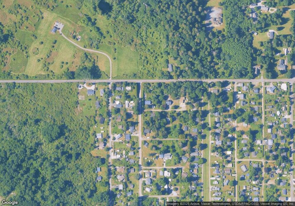
Map
Nearby Homes
- 1927 Orcas View Way
- 1920 Patos Way
- 634 S Beach Rd
- 1911 Apa Rd
- 661 Driftwood Ln
- 1940 Apa Rd
- 1934 Waters Rd
- 1881 Edwards Dr
- 698 Kendor Dr
- 0 6 39 Acres South Beach Rd
- 675 Sylvia Dr
- 1976 Cedar Park Dr
- lot 14 Cedar Park Dr Unit 14
- 2 Benson Rd
- 2045 Apa Rd
- Lot 2 Greenwood Dr
- Lot 3 Edwards Dr
- 19 Harbor Seal Dr
- 8 Heather Way
- 1587 Harbor Seal Dr