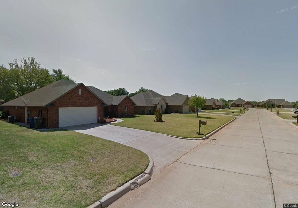
1910 Meadowview Dr Duncan, OK 73533
Estimated Value: $226,000 - $261,000
4
Beds
2
Baths
1,822
Sq Ft
$137/Sq Ft
Est. Value
About This Home
This home is located at 1910 Meadowview Dr, Duncan, OK 73533 and is currently estimated at $248,842, approximately $136 per square foot. 1910 Meadowview Dr is a home located in Stephens County with nearby schools including Horace Mann Elementary School, Duncan Middle School, and Duncan High School.
Ownership History
Date
Name
Owned For
Owner Type
Purchase Details
Closed on
Dec 2, 2020
Sold by
Waldo Teana L and Waldo Danny G
Bought by
Waldo Teana L and Waldo Danny G
Current Estimated Value
Purchase Details
Closed on
Jul 29, 2005
Sold by
Lee Billy J and Lee Sherry
Bought by
Waldo Teana L and Waldo Danny G
Home Financials for this Owner
Home Financials are based on the most recent Mortgage that was taken out on this home.
Original Mortgage
$98,777
Interest Rate
5.61%
Mortgage Type
Purchase Money Mortgage
Purchase Details
Closed on
Sep 9, 2004
Sold by
Mj Lewis
Create a Home Valuation Report for This Property
The Home Valuation Report is an in-depth analysis detailing your home's value as well as a comparison with similar homes in the area
Home Values in the Area
Average Home Value in this Area
Purchase History
| Date | Buyer | Sale Price | Title Company |
|---|---|---|---|
| Waldo Teana L | -- | None Listed On Document | |
| Waldo Teana L | $156,500 | None Available | |
| -- | $16,000 | -- |
Source: Public Records
Mortgage History
| Date | Status | Borrower | Loan Amount |
|---|---|---|---|
| Previous Owner | Waldo Teana L | $98,777 |
Source: Public Records
Tax History Compared to Growth
Tax History
| Year | Tax Paid | Tax Assessment Tax Assessment Total Assessment is a certain percentage of the fair market value that is determined by local assessors to be the total taxable value of land and additions on the property. | Land | Improvement |
|---|---|---|---|---|
| 2025 | $1,748 | $22,162 | $1,631 | $20,531 |
| 2024 | $1,748 | $21,516 | $1,631 | $19,885 |
| 2023 | $1,748 | $21,516 | $1,631 | $19,885 |
| 2022 | $1,639 | $20,890 | $1,631 | $19,259 |
| 2021 | $1,608 | $19,885 | $1,631 | $18,254 |
| 2020 | $1,564 | $19,117 | $1,631 | $17,486 |
| 2019 | $1,590 | $19,381 | $1,631 | $17,750 |
| 2018 | $1,587 | $18,817 | $1,631 | $17,186 |
| 2017 | $1,561 | $19,743 | $1,631 | $18,112 |
| 2016 | $1,497 | $18,610 | $1,631 | $16,979 |
| 2015 | $1,526 | $18,610 | $1,631 | $16,979 |
| 2014 | $1,526 | $18,610 | $1,631 | $16,979 |
Source: Public Records
Map
Nearby Homes
- 2403 Meadow View Dr
- 1829 1829 Terrace Dr
- 1927 High Meadow Dr
- 2360 Rockwell Dr
- 2321 Rockwell Dr
- 1706 Windsor Dr
- 3990 N Ridgeview Dr
- 2120 2120 Flamingo Ln
- 30 Canterbury Ln
- 28 Canterbury Ln
- 2202 W Canary Ave
- 2201 W Club Rd
- 2814 2814 Springdale Ln
- 1601 1601 Pearl
- 2108 W Club Rd
- 2110 W Club Rd
- 1404 1404 Ne Aspen
- 1311 1311 N 20 St
- 1527 1527 N 13th
- 1405 Evergreen Dr
- 1908 Meadowview Dr
- 1912 Meadowview Dr
- 2009 Westbriar Rd
- 2013 Westbriar Rd
- 2002 Meadowview Dr
- 1906 Meadowview Dr
- 2005 Westbriar Rd
- 1907 Meadowview Dr
- 1907 Meadow View Dr
- 1905 Meadowview Dr
- 2017 Westbriar Rd
- 1909 Meadowview Dr
- 1904 Meadowview Dr
- 2004 Meadowview Dr
- 1903 Meadowview Dr
- 2001 Westbriar Rd
- 2001 Meadow View Dr
- 2021 Westbriar Rd
- 1901 Meadowview Dr
- 1902 Meadowview Dr