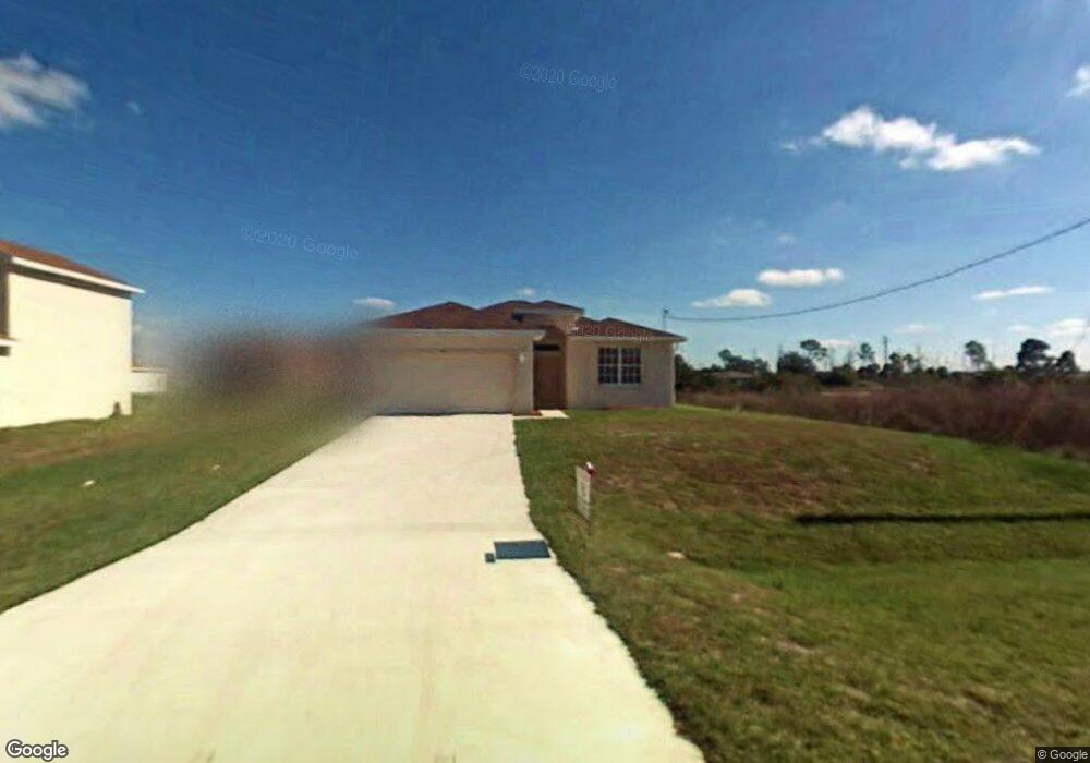
1910 Milstead Ave Lehigh Acres, FL 33972
Richmond NeighborhoodEstimated Value: $250,000 - $305,000
3
Beds
2
Baths
1,603
Sq Ft
$173/Sq Ft
Est. Value
About This Home
This home is located at 1910 Milstead Ave, Lehigh Acres, FL 33972 and is currently estimated at $277,777, approximately $173 per square foot. 1910 Milstead Ave is a home located in Lee County with nearby schools including Lehigh Elementary School, The Alva School, and Gateway Elementary School.
Ownership History
Date
Name
Owned For
Owner Type
Purchase Details
Closed on
Jan 16, 2009
Sold by
Builders Mortgage Company Llc
Bought by
Johnson Michael and Johnson Roberta
Current Estimated Value
Home Financials for this Owner
Home Financials are based on the most recent Mortgage that was taken out on this home.
Original Mortgage
$60,454
Outstanding Balance
$38,334
Interest Rate
5.24%
Mortgage Type
FHA
Estimated Equity
$239,443
Purchase Details
Closed on
Nov 7, 2008
Sold by
Mw Johnson Construction Of Florida Inc
Bought by
Bullders Mortgage Company Llc
Create a Home Valuation Report for This Property
The Home Valuation Report is an in-depth analysis detailing your home's value as well as a comparison with similar homes in the area
Home Values in the Area
Average Home Value in this Area
Purchase History
| Date | Buyer | Sale Price | Title Company |
|---|---|---|---|
| Johnson Michael | $69,900 | Title Group Of Fort Myers Lt | |
| Bullders Mortgage Company Llc | $1,375,000 | Attorney |
Source: Public Records
Mortgage History
| Date | Status | Borrower | Loan Amount |
|---|---|---|---|
| Open | Johnson Michael | $60,454 |
Source: Public Records
Tax History Compared to Growth
Tax History
| Year | Tax Paid | Tax Assessment Tax Assessment Total Assessment is a certain percentage of the fair market value that is determined by local assessors to be the total taxable value of land and additions on the property. | Land | Improvement |
|---|---|---|---|---|
| 2025 | $1,191 | $63,858 | -- | -- |
| 2024 | $1,103 | $62,058 | -- | -- |
| 2023 | $1,103 | $60,250 | $0 | $0 |
| 2022 | $1,015 | $58,495 | $0 | $0 |
| 2021 | $941 | $146,205 | $6,883 | $139,322 |
| 2020 | $933 | $56,007 | $0 | $0 |
| 2019 | $976 | $54,748 | $0 | $0 |
| 2018 | $933 | $51,017 | $0 | $0 |
| 2017 | $895 | $49,968 | $0 | $0 |
| 2016 | $860 | $97,676 | $3,700 | $93,976 |
| 2015 | $849 | $77,911 | $2,640 | $75,271 |
| 2014 | -- | $78,691 | $2,540 | $76,151 |
| 2013 | -- | $61,694 | $2,000 | $59,694 |
Source: Public Records
Map
Nearby Homes
- 1909 Milstead Ave
- 1909 Vesper Ct
- 1928 Vesper Ct
- 441 Thelma Ct
- 1917 Holyoke Ave Unit 11
- 1927 Holyoke Ave
- 480 Westchester Dr
- 446 Westchester Dr
- 454 Westchester Dr
- 479 Windermere Dr
- 1918 Montero Ave
- 475 Westdale Ave
- 507 Willowbrook Dr
- 505 Willowbrook Dr
- 426 Mercedes Ct
- 423 Windermere Dr
- 473 Willowbrook Dr
- 430 Mercedes Ct
- 490 Windermere Dr
- 507 Woodman Dr
- 1912 Milstead Ave
- 1924 Milstead Ave
- 1908 Milstead Ave
- 1911 Loyola Ave
- 1913 Loyola Ave
- 1914 Milstead Ave
- 1911 Milstead Ave
- 1913 Milstead Ave
- 1915 Loyola Ave
- 1916 Milstead Ave
- 1915 Milstead Ave Unit 15
- 1915 Milstead Ave
- 1917 Loyola Ave
- 449 Woodman Dr
- 1910 Lemona Ave
- 1917 Milstead Ave
- 1908 Loyola Ave
- 1908 Lemona Ave
- 1918 Milstead Ave