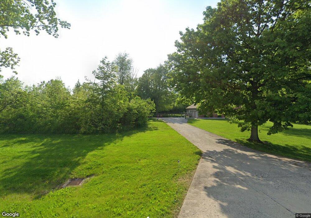
1910 N State Route 590 Graytown, OH 43432
Estimated Value: $409,000 - $507,000
3
Beds
3
Baths
2,287
Sq Ft
$200/Sq Ft
Est. Value
About This Home
This home is located at 1910 N State Route 590, Graytown, OH 43432 and is currently estimated at $457,072, approximately $199 per square foot. 1910 N State Route 590 is a home with nearby schools including Oak Harbor High School.
Ownership History
Date
Name
Owned For
Owner Type
Purchase Details
Closed on
Aug 21, 2017
Sold by
Roepke Cynthia S and Cromer Stacey L
Bought by
Roepke Cynthia S and Kenneman Myers Roeder Roepke F
Current Estimated Value
Purchase Details
Closed on
Oct 24, 2007
Sold by
Chasteen Buddy W and Chasteen Jacqueline L
Bought by
Roepke Cynthia S and Cromer Stacey L
Home Financials for this Owner
Home Financials are based on the most recent Mortgage that was taken out on this home.
Original Mortgage
$208,800
Interest Rate
6.33%
Mortgage Type
Purchase Money Mortgage
Create a Home Valuation Report for This Property
The Home Valuation Report is an in-depth analysis detailing your home's value as well as a comparison with similar homes in the area
Home Values in the Area
Average Home Value in this Area
Purchase History
| Date | Buyer | Sale Price | Title Company |
|---|---|---|---|
| Roepke Cynthia S | -- | None Available | |
| Roepke Cynthia S | $261,000 | Attorney |
Source: Public Records
Mortgage History
| Date | Status | Borrower | Loan Amount |
|---|---|---|---|
| Closed | Roepke Cynthia S | $208,800 |
Source: Public Records
Tax History Compared to Growth
Tax History
| Year | Tax Paid | Tax Assessment Tax Assessment Total Assessment is a certain percentage of the fair market value that is determined by local assessors to be the total taxable value of land and additions on the property. | Land | Improvement |
|---|---|---|---|---|
| 2024 | $4,862 | $132,762 | $23,429 | $109,333 |
| 2023 | $4,862 | $108,896 | $13,552 | $95,344 |
| 2022 | $4,503 | $108,896 | $13,552 | $95,344 |
| 2021 | $4,534 | $108,890 | $13,550 | $95,340 |
| 2020 | $4,007 | $93,070 | $12,100 | $80,970 |
| 2019 | $3,867 | $93,070 | $12,100 | $80,970 |
| 2018 | $3,547 | $93,070 | $12,100 | $80,970 |
| 2017 | $2,780 | $80,900 | $9,840 | $71,060 |
| 2016 | $2,786 | $80,900 | $9,840 | $71,060 |
| 2015 | $2,761 | $80,900 | $9,840 | $71,060 |
| 2014 | $1,383 | $77,160 | $9,840 | $67,320 |
| 2013 | $2,699 | $77,160 | $9,840 | $67,320 |
Source: Public Records
Map
Nearby Homes
- 14642 W 3rd St
- 14339 3rd St
- 14339 & 14363 W 3rd St
- 770 N State Route 590
- 14046 3rd St
- 3784 N Stange Rd
- 2349 N Elliston Trowbridge Rd
- 13538 W Velliquette Rd
- 15115 W Portage River Rd S Unit 12222
- 12342 W State Route 105
- 0 W Walbridge E Unit 6135427
- 12672 W Portage River Rd S
- 506 W Water St
- 336 N Church St
- 236 W Main St
- 214 N Church St
- 11968 W Michael Dr
- 130 E Water St
- 16047 W Krause Rd
- 14328 W State Route 163
- 1950 N State Route 590
- 1939 N State Route 590
- 1982 N State Route 590
- 1955 N State Route 590
- 1800 N State Route 590
- 1850 N State Route 590
- 1724 N State Route 590
- 15181 W Rock Bottom Dr
- 1725 N State Route 590
- 2110 N State Route 590
- 15231 W Rock Bottom Dr
- 15231 W Rock Bottom Dr
- 1705 N State Route 590
- 1675 N State Route 590
- 2150 N State Route 590
- 2180 N State Route 590
- 1580 N State Route 590
- 15195 W True Rd
- 15235 W True Rd
- 14829 W True Rd