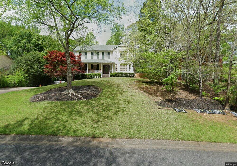
1910 Nantucket Dr Unit I Woodstock, GA 30189
Oak Grove NeighborhoodEstimated Value: $384,202 - $426,000
4
Beds
3
Baths
2,136
Sq Ft
$190/Sq Ft
Est. Value
About This Home
This home is located at 1910 Nantucket Dr Unit I, Woodstock, GA 30189 and is currently estimated at $405,101, approximately $189 per square foot. 1910 Nantucket Dr Unit I is a home located in Cherokee County with nearby schools including Carmel Elementary School, Woodstock Middle School, and Woodstock High School.
Ownership History
Date
Name
Owned For
Owner Type
Purchase Details
Closed on
Jul 14, 2000
Sold by
Petersen Kenneth N and Petersen Betty A
Bought by
Timbs Linda
Current Estimated Value
Home Financials for this Owner
Home Financials are based on the most recent Mortgage that was taken out on this home.
Original Mortgage
$90,250
Outstanding Balance
$41,773
Interest Rate
12.5%
Mortgage Type
New Conventional
Estimated Equity
$363,328
Purchase Details
Closed on
Aug 14, 1995
Sold by
Shanks Robert C and Shanks Sheila Mcfall
Bought by
Petersen Kenneth N Betty A
Create a Home Valuation Report for This Property
The Home Valuation Report is an in-depth analysis detailing your home's value as well as a comparison with similar homes in the area
Home Values in the Area
Average Home Value in this Area
Purchase History
| Date | Buyer | Sale Price | Title Company |
|---|---|---|---|
| Timbs Linda | $95,000 | -- | |
| Petersen Kenneth N Betty A | $129,900 | -- |
Source: Public Records
Mortgage History
| Date | Status | Borrower | Loan Amount |
|---|---|---|---|
| Open | Timbs Linda | $90,250 | |
| Closed | Petersen Kenneth N Betty A | $0 |
Source: Public Records
Tax History Compared to Growth
Tax History
| Year | Tax Paid | Tax Assessment Tax Assessment Total Assessment is a certain percentage of the fair market value that is determined by local assessors to be the total taxable value of land and additions on the property. | Land | Improvement |
|---|---|---|---|---|
| 2024 | $763 | $138,660 | $32,000 | $106,660 |
| 2023 | $593 | $128,700 | $32,000 | $96,700 |
| 2022 | $696 | $107,380 | $24,000 | $83,380 |
| 2021 | $675 | $86,380 | $16,800 | $69,580 |
| 2020 | $672 | $84,980 | $16,800 | $68,180 |
| 2019 | $647 | $78,360 | $16,800 | $61,560 |
| 2018 | $645 | $74,840 | $16,800 | $58,040 |
| 2017 | $633 | $176,400 | $16,800 | $53,760 |
| 2016 | $584 | $158,500 | $14,400 | $49,000 |
| 2015 | $574 | $151,400 | $14,400 | $46,160 |
| 2014 | $547 | $143,900 | $14,000 | $43,560 |
Source: Public Records
Map
Nearby Homes
- 1912 Nantucket Dr
- 1908 Nantucket Dr
- 1052 Boston Ridge Unit 1
- 1054 Boston Ridge Unit 1
- 1050 Boston Ridge
- 0 Nantucket Dr Unit 3242595
- 0 Nantucket Dr Unit 3207475
- 0 Nantucket Dr Unit 8824647
- 0 Nantucket Dr Unit 8254709
- 0 Nantucket Dr Unit 8239396
- 0 Nantucket Dr Unit 8222845
- 0 Nantucket Dr
- 1906 Nantucket Dr
- 1914 Nantucket Dr
- 1056 Boston Ridge
- 1048 Boston Ridge
- 1915 Nantucket Dr Unit 1
- 1913 Nantucket Dr
- 1916 Nantucket Dr
- 1904 Nantucket Dr