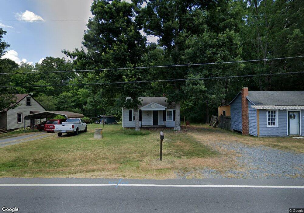
1910 Old Farmer Rd Asheboro, NC 27205
Estimated Value: $80,000 - $173,000
--
Bed
1
Bath
708
Sq Ft
$170/Sq Ft
Est. Value
About This Home
This home is located at 1910 Old Farmer Rd, Asheboro, NC 27205 and is currently estimated at $120,112, approximately $169 per square foot. 1910 Old Farmer Rd is a home located in Randolph County with nearby schools including Donna L. Loflin Elementary School, South Asheboro Middle School, and Asheboro High School.
Ownership History
Date
Name
Owned For
Owner Type
Purchase Details
Closed on
Jun 9, 2014
Sold by
Worcester Kyle
Bought by
Worcester Delanda
Current Estimated Value
Purchase Details
Closed on
Oct 28, 2009
Sold by
Walker Andrea Kidd and Walker Franklin David
Bought by
Worcester Kyle and Worcester Delanda
Home Financials for this Owner
Home Financials are based on the most recent Mortgage that was taken out on this home.
Original Mortgage
$45,900
Outstanding Balance
$27,876
Interest Rate
3.75%
Mortgage Type
New Conventional
Estimated Equity
$92,236
Purchase Details
Closed on
Jul 19, 1999
Bought by
Worcester Delanda
Purchase Details
Closed on
Sep 22, 1993
Bought by
Worcester Delanda
Purchase Details
Closed on
Mar 9, 1988
Bought by
Worcester Delanda
Create a Home Valuation Report for This Property
The Home Valuation Report is an in-depth analysis detailing your home's value as well as a comparison with similar homes in the area
Home Values in the Area
Average Home Value in this Area
Purchase History
| Date | Buyer | Sale Price | Title Company |
|---|---|---|---|
| Worcester Delanda | -- | None Available | |
| Worcester Kyle | $51,000 | None Available | |
| Worcester Delanda | $50,900 | -- | |
| Worcester Delanda | $19,500 | -- | |
| Worcester Delanda | $18,000 | -- |
Source: Public Records
Mortgage History
| Date | Status | Borrower | Loan Amount |
|---|---|---|---|
| Open | Worcester Kyle | $45,900 |
Source: Public Records
Tax History Compared to Growth
Tax History
| Year | Tax Paid | Tax Assessment Tax Assessment Total Assessment is a certain percentage of the fair market value that is determined by local assessors to be the total taxable value of land and additions on the property. | Land | Improvement |
|---|---|---|---|---|
| 2025 | $652 | $84,100 | $23,610 | $60,490 |
| 2024 | $644 | $84,100 | $23,610 | $60,490 |
| 2023 | $644 | $84,100 | $23,610 | $60,490 |
| 2022 | $523 | $56,430 | $15,290 | $41,140 |
| 2021 | $523 | $56,430 | $15,290 | $41,140 |
| 2020 | $512 | $56,430 | $15,290 | $41,140 |
| 2019 | $512 | $56,430 | $15,290 | $41,140 |
| 2018 | $416 | $44,600 | $15,510 | $29,090 |
| 2016 | $411 | $44,597 | $15,510 | $29,087 |
| 2015 | $408 | $44,597 | $15,510 | $29,087 |
| 2014 | $405 | $44,597 | $15,510 | $29,087 |
Source: Public Records
Map
Nearby Homes
- 635 Oakgrove Rd
- 536 Oakgrove Rd
- 272 Cheyenne Cir
- 1037 Robbins St
- 135 West St
- 7808 State Highway 49
- 617 Uwharrie St Unit N
- 737 Britt Ave
- 806 Windermere Ct
- 1263 Winslow Ave Unit A, B & C
- 828 Windermere Ct
- 01 Mack Rd
- 401 Uwharrie St
- 631 W Kivett St
- 960 Lee St
- 855 Lee St
- 627 Lee St
- 406 Ashmont Ct
- 481 Nc Highway 49 S
- 830 Sunset Ave
- 1916 Old Farmer Rd
- 1872 Old Farmer Rd
- 1926 Old Farmer Rd
- 1864 Old Farmer Rd
- 887 Ridgeway Dr
- 1863 Old Farmer Rd
- 1927 Old Farmer Rd
- 1854 Old Farmer Rd
- 1853 Old Farmer Rd
- 2012 Old Farmer Rd
- 947 Bunting Rd
- 862 Ridgeway Dr
- 1 Oakgrove Rd
- 2005 Old Farmer Rd
- 2015 Old Farmer Rd
- 863 Ridgeway Dr
- 852 Ridgeway Dr
- 943 Bunting Rd
- 785 Oakgrove Rd
- 2027 Old Farmer Rd