1910 Patos Way Point Roberts, WA 98281
Estimated Value: $304,735 - $459,000
2
Beds
1
Bath
900
Sq Ft
$397/Sq Ft
Est. Value
About This Home
This home is located at 1910 Patos Way, Point Roberts, WA 98281 and is currently estimated at $357,684, approximately $397 per square foot. 1910 Patos Way is a home located in Whatcom County with nearby schools including Point Roberts Primary School, Blaine Middle School, and Blaine High School.
Ownership History
Date
Name
Owned For
Owner Type
Purchase Details
Closed on
Aug 22, 2011
Sold by
Urwin James and Urwin Dorothy
Bought by
Carson Davorka
Current Estimated Value
Purchase Details
Closed on
Apr 30, 2001
Sold by
Urwin Ada Ruth
Bought by
Urwin James R and Urwin Dorothy C
Purchase Details
Closed on
May 1, 2000
Sold by
Urwin Ada Ruth
Bought by
Urwin James R and Urwin Dorothy C
Create a Home Valuation Report for This Property
The Home Valuation Report is an in-depth analysis detailing your home's value as well as a comparison with similar homes in the area
Home Values in the Area
Average Home Value in this Area
Purchase History
| Date | Buyer | Sale Price | Title Company |
|---|---|---|---|
| Carson Davorka | $191,280 | Whatcom Land Title | |
| Urwin James R | -- | -- | |
| Urwin James R | -- | -- | |
| Urwin Ada Ruth | -- | -- |
Source: Public Records
Tax History Compared to Growth
Tax History
| Year | Tax Paid | Tax Assessment Tax Assessment Total Assessment is a certain percentage of the fair market value that is determined by local assessors to be the total taxable value of land and additions on the property. | Land | Improvement |
|---|---|---|---|---|
| 2024 | $2,207 | $271,363 | $126,473 | $144,890 |
| 2023 | $2,207 | $259,865 | $114,975 | $144,890 |
| 2022 | $2,147 | $237,320 | $105,000 | $132,320 |
| 2021 | $2,138 | $209,895 | $100,320 | $109,575 |
| 2020 | $2,131 | $194,345 | $92,888 | $101,457 |
| 2019 | $1,979 | $186,420 | $89,100 | $97,320 |
| 2018 | $1,848 | $167,589 | $80,100 | $87,489 |
| 2017 | $1,603 | $160,057 | $76,500 | $83,557 |
| 2016 | $1,831 | $156,919 | $75,000 | $81,919 |
| 2015 | $1,948 | $174,573 | $91,780 | $82,793 |
| 2014 | -- | $182,503 | $95,950 | $86,553 |
| 2013 | -- | $174,746 | $92,150 | $82,596 |
Source: Public Records
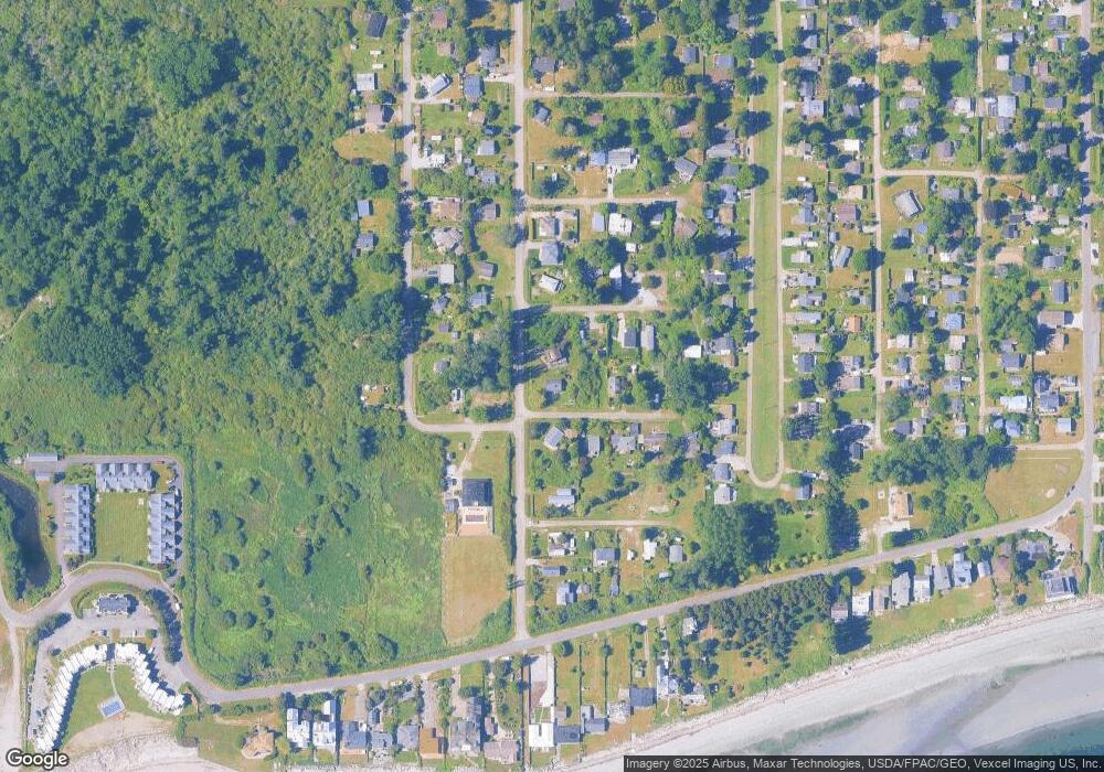
Map
Nearby Homes
- 1920 Patos Way
- 1927 Orcas View Way
- 1811 Edwards Dr
- 624 Mallard Dr
- 616 Mallard Dr
- 667 Deer Ln
- 1881 Edwards Dr
- 699 S Beach Rd
- 1728 Edwards Dr Unit 19
- 634 S Beach Rd
- 661 Driftwood Ln
- 698 Kendor Dr
- 1934 Waters Rd
- 1911 Apa Rd
- 623 Maple Ave
- 1940 Apa Rd
- 675 Sylvia Dr
- 1630 Edwards Dr
- Lot 3 Edwards Dr
- 19 Harbor Seal Dr