1910 Ruthsburg Rd Queen Anne, MD 21657
Estimated Value: $472,000 - $903,741
--
Bed
2
Baths
1,689
Sq Ft
$407/Sq Ft
Est. Value
About This Home
This home is located at 1910 Ruthsburg Rd, Queen Anne, MD 21657 and is currently estimated at $687,871, approximately $407 per square foot. 1910 Ruthsburg Rd is a home located in Queen Anne's County with nearby schools including Centreville Elementary School, Kennard Elementary School, and Centreville Middle School.
Ownership History
Date
Name
Owned For
Owner Type
Purchase Details
Closed on
Apr 11, 2014
Sold by
Dean Howard Michael and Estate Of Aldy Dean Jr
Bought by
Dean Howard Michael
Current Estimated Value
Purchase Details
Closed on
Dec 1, 2009
Sold by
Dean Howard Aldy
Bought by
Dean Howard Aldy and Dean Howard Michael
Purchase Details
Closed on
Sep 24, 2009
Sold by
Dean Howard A and Dean Lillian M
Bought by
Dean Howard Aldy
Create a Home Valuation Report for This Property
The Home Valuation Report is an in-depth analysis detailing your home's value as well as a comparison with similar homes in the area
Home Values in the Area
Average Home Value in this Area
Purchase History
| Date | Buyer | Sale Price | Title Company |
|---|---|---|---|
| Dean Howard Michael | -- | None Available | |
| Dean Howard Aldy | -- | -- | |
| Dean Howard Aldy | -- | -- |
Source: Public Records
Tax History Compared to Growth
Tax History
| Year | Tax Paid | Tax Assessment Tax Assessment Total Assessment is a certain percentage of the fair market value that is determined by local assessors to be the total taxable value of land and additions on the property. | Land | Improvement |
|---|---|---|---|---|
| 2025 | $3,965 | $414,500 | $176,700 | $237,800 |
| 2024 | $3,809 | $398,033 | $0 | $0 |
| 2023 | $3,688 | $385,167 | $0 | $0 |
| 2022 | $3,567 | $372,300 | $183,100 | $189,200 |
| 2021 | $0 | $361,800 | $0 | $0 |
| 2020 | $3,429 | $351,300 | $0 | $0 |
| 2019 | $3,269 | $340,800 | $183,100 | $157,700 |
| 2018 | $3,217 | $335,367 | $0 | $0 |
| 2017 | $3,172 | $329,933 | $0 | $0 |
| 2016 | -- | $324,500 | $0 | $0 |
| 2015 | $3,003 | $319,667 | $0 | $0 |
| 2014 | $3,003 | $314,833 | $0 | $0 |
Source: Public Records
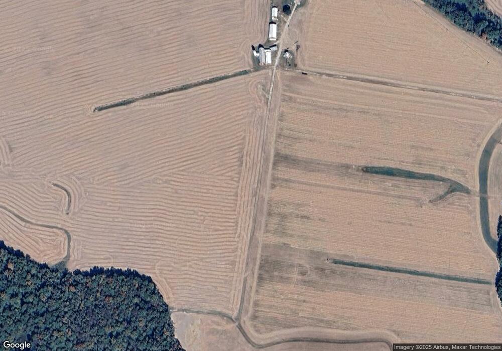
Map
Nearby Homes
- 113 Paulowina Rd
- 408 Laurens Way
- 129 Thicket Ct
- 107 Thicket Ct
- 219 Songbird Ln
- 104 Gadd Dr
- 0 Neighbors Rd
- 12615 Eveland Rd
- 1801 Starr Rd
- 1724 Starr Rd
- 116 Pasture Ct
- 415 Twin Meadows Farm Ln
- Merion Plan at Meadow Creek
- Windermere Plan at Meadow Creek
- Doral Plan at Meadow Creek
- Sawgrass Plan at Meadow Creek
- Pinehurst Plan at Meadow Creek
- Congressional Plan at Meadow Creek
- 104 Pasture Ct
- 325 Twin Meadows Farm Ln
- 2005 Ruthsburg Rd
- 2001 Ruthsburg Rd
- 2103 Ruthsburg Rd
- 0 Mason Branch Rd Unit 1006573730
- 0 Mason Branch Rd Unit 1006396834
- 0 Mason Branch Rd Unit Lot WP001 24341252
- 0 Mason Branch Rd Unit 1001456318
- 2108 Ruthsburg Rd
- 111 Mason Branch Rd
- 2109 Ruthsburg Rd
- 2119 Ruthsburg Rd
- 1905 Ruthsburg Rd
- 1819 Ruthsburg Rd
- 119 Jarman Branch Dr
- 123 Jarman Branch Dr
- 127 Jarman Branch Dr
- 115 Jarman Branch Dr
- 131 Jarman Branch Dr
- 1806 Ruthsburg Rd
- 111 Jarman Branch Dr