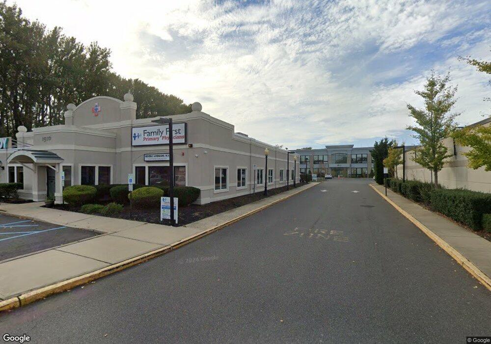
1910 State Route 35 Unit 1 Oakhurst, NJ 07755
Wanamassa NeighborhoodEstimated Value: $1,162,000
--
Bed
--
Bath
6,891
Sq Ft
$169/Sq Ft
Est. Value
About This Home
This home is located at 1910 State Route 35 Unit 1, Oakhurst, NJ 07755 and is currently priced at $1,162,000, approximately $168 per square foot. 1910 State Route 35 Unit 1 is a home located in Monmouth County with nearby schools including Ocean Township High School, Bet Yaakov of the Jersey Shore, and Yeshivat Keter Torah.
Create a Home Valuation Report for This Property
The Home Valuation Report is an in-depth analysis detailing your home's value as well as a comparison with similar homes in the area
Home Values in the Area
Average Home Value in this Area
Tax History Compared to Growth
Tax History
| Year | Tax Paid | Tax Assessment Tax Assessment Total Assessment is a certain percentage of the fair market value that is determined by local assessors to be the total taxable value of land and additions on the property. | Land | Improvement |
|---|---|---|---|---|
| 2025 | $24,791 | $1,828,700 | $642,200 | $1,186,500 |
| 2024 | $25,806 | $1,738,500 | $642,200 | $1,096,300 |
| 2023 | $25,806 | $1,687,800 | $642,200 | $1,045,600 |
| 2022 | $30,957 | $1,594,900 | $642,200 | $952,700 |
| 2021 | $31,366 | $1,575,400 | $642,200 | $933,200 |
| 2020 | $31,366 | $1,575,400 | $642,200 | $933,200 |
| 2019 | $30,593 | $1,500,400 | $642,200 | $858,200 |
| 2018 | $30,711 | $1,466,600 | $642,200 | $824,400 |
| 2017 | $31,869 | $1,515,400 | $642,200 | $873,200 |
| 2016 | $31,175 | $1,333,400 | $588,000 | $745,400 |
| 2015 | $30,788 | $1,333,400 | $588,000 | $745,400 |
| 2014 | $30,648 | $1,345,400 | $634,600 | $710,800 |
Source: Public Records
Map
Nearby Homes
- 710 Dow Ave
- 1903 Melville St
- 6 Lotus Ct
- 55 Cotswold Cir
- 1904 Waverly St
- 4 Rothbury Ct
- 709 Talmadge Ave
- 116 Cotswold Cir
- 130 Woolley Ct
- 30 Oak Mews Ct Unit 4
- 2025 Lesser Pkwy
- 46 Fredric Dr
- 39 Gimbel Place
- 1630-1636 Poplar Rd
- 123 Woolley Ct
- 18 Branch Rd
- 179 Woolley Ct
- 48 Old Orchard Ln Unit 1103
- 149 Jefferson Dr
- 155 Jefferson Dr
- 1914 State Route 35
- 1912 State Route 35
- 1915 New Jersey 35
- 1907 Highway 35
- 2001 Bellmore St
- 2005 Bellmore St
- 2005 State 35
- 718 Carol Ave
- 802 W Park Ave Unit 301
- 802 W Park Ave Unit 230
- 802 W Park Ave Unit 222
- 802 W Park Ave Unit 221
- 802 W Park Ave Unit 213
- 802 W Park Ave Unit 201
- 780 W Park Ave
- 780 W Park Ave Unit 5
- 1900 State Route 35
- 1900 State Route 35
- 1902 Melville St
- 811 W Park Ave