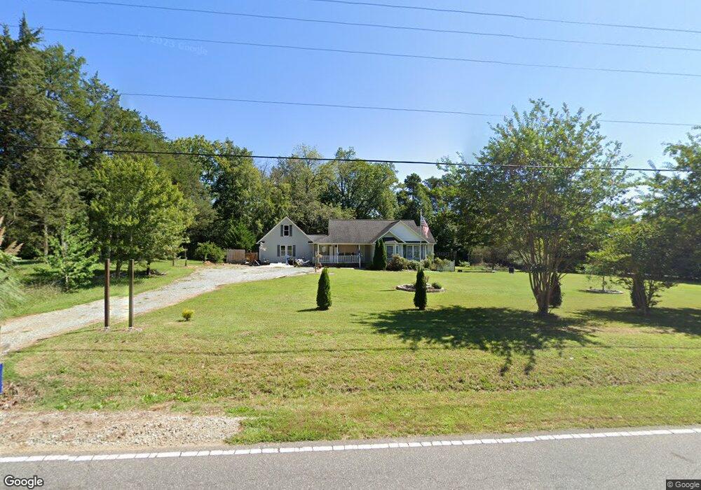
1910 Turner Rd Mebane, NC 27302
Estimated Value: $336,000 - $364,000
3
Beds
3
Baths
1,692
Sq Ft
$207/Sq Ft
Est. Value
About This Home
This home is located at 1910 Turner Rd, Mebane, NC 27302 and is currently estimated at $350,624, approximately $207 per square foot. 1910 Turner Rd is a home located in Alamance County with nearby schools including Garrett Elementary School, Hawfields Middle School, and Alamance Community School.
Ownership History
Date
Name
Owned For
Owner Type
Purchase Details
Closed on
Apr 7, 2017
Sold by
Oakes Jamie
Bought by
Oakes Ryan
Current Estimated Value
Purchase Details
Closed on
Jul 25, 2003
Sold by
Jones Claude
Bought by
Clark Brian
Home Financials for this Owner
Home Financials are based on the most recent Mortgage that was taken out on this home.
Original Mortgage
$136,350
Outstanding Balance
$57,532
Interest Rate
5.16%
Mortgage Type
New Conventional
Estimated Equity
$293,092
Create a Home Valuation Report for This Property
The Home Valuation Report is an in-depth analysis detailing your home's value as well as a comparison with similar homes in the area
Home Values in the Area
Average Home Value in this Area
Purchase History
| Date | Buyer | Sale Price | Title Company |
|---|---|---|---|
| Oakes Ryan | -- | None Available | |
| Clark Brian | $141,000 | -- |
Source: Public Records
Mortgage History
| Date | Status | Borrower | Loan Amount |
|---|---|---|---|
| Open | Clark Brian | $136,350 |
Source: Public Records
Tax History Compared to Growth
Tax History
| Year | Tax Paid | Tax Assessment Tax Assessment Total Assessment is a certain percentage of the fair market value that is determined by local assessors to be the total taxable value of land and additions on the property. | Land | Improvement |
|---|---|---|---|---|
| 2025 | $1,780 | $321,228 | $33,466 | $287,762 |
| 2024 | $1,699 | $321,228 | $33,466 | $287,762 |
| 2023 | $1,573 | $321,228 | $33,466 | $287,762 |
| 2022 | $1,302 | $176,836 | $38,790 | $138,046 |
| 2021 | $1,320 | $176,836 | $38,790 | $138,046 |
| 2020 | $1,337 | $176,836 | $38,790 | $138,046 |
| 2019 | $1,344 | $176,836 | $38,790 | $138,046 |
| 2018 | $0 | $176,836 | $38,790 | $138,046 |
| 2017 | $1,179 | $176,836 | $38,790 | $138,046 |
| 2016 | $1,247 | $186,074 | $38,790 | $147,284 |
| 2015 | $1,240 | $186,074 | $38,790 | $147,284 |
| 2014 | $1,148 | $186,074 | $38,790 | $147,284 |
Source: Public Records
Map
Nearby Homes
- 2028 Webster Grove Dr
- 1627 Old Arbor Way
- 2170 Farrell Rd
- 3015 Old Craig Trail
- 3108 Old Craig Ct
- HAYDEN Plan at The Landing at Summerhaven
- WILMINGTON Plan at The Landing at Summerhaven
- Cali Plan at The Landing at Summerhaven
- PENWELL Plan at The Landing at Summerhaven
- Cali Plan at Cambridge Park
- Hayden Plan at Cambridge Park
- ABERDEEN Plan at Cambridge Park
- Penwell Plan at Cambridge Park
- Wilmington Plan at Cambridge Park
- Winston Plan at Cambridge Park
- GALEN Plan at Cambridge Park
- 1231 Adrian Ct
- 2715 Burgess Dr
- 2733 Burgess Dr
- 1230 Adrian Ct
- 1924 Turner Rd
- 1872 Turner Rd
- 1900 Turner Rd
- 1864 Turner Rd
- 1936 Turner Rd
- 1850 Turner Rd
- 1931 Turner Rd
- 1811 Billy T Trail
- 1863 Turner Rd
- 1863 Turner Rd
- 1946 Turner Rd
- 1949 Turner Rd
- 1841 Billy T Trail
- 1806 Billy T Trail
- 1801 Billy T Trail
- 1814 Billy T Trail
- 1849 Billy T Trail
- 1961 Turner Rd
- 1970 Turner Rd
- 1832 Billy T Trail