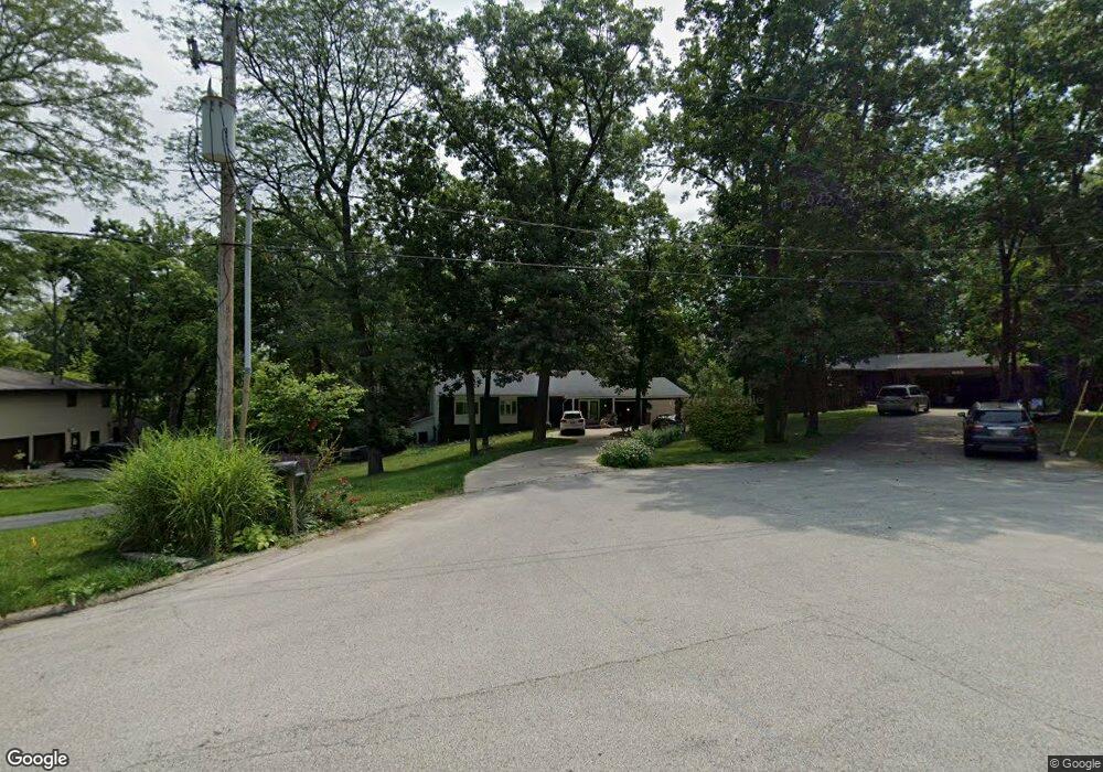
1910 Venus Ct Decatur, IL 62526
Estimated Value: $188,000 - $278,000
3
Beds
3
Baths
1,786
Sq Ft
$128/Sq Ft
Est. Value
About This Home
This home is located at 1910 Venus Ct, Decatur, IL 62526 and is currently estimated at $228,155, approximately $127 per square foot. 1910 Venus Ct is a home located in Macon County with nearby schools including Warrensburg-Latham Elementary School, Warrensburg-Latham Middle School, and Warrensburg-Latham High School.
Ownership History
Date
Name
Owned For
Owner Type
Purchase Details
Closed on
Mar 20, 2018
Sold by
Young Jennifer L and Young Brett F
Bought by
Young Jennifer L and Young Brett F
Current Estimated Value
Purchase Details
Closed on
Nov 29, 2005
Sold by
Milliman John D and Milliman Melenie J
Bought by
Young Jennifer L
Home Financials for this Owner
Home Financials are based on the most recent Mortgage that was taken out on this home.
Original Mortgage
$126,400
Outstanding Balance
$69,455
Interest Rate
5.99%
Mortgage Type
Adjustable Rate Mortgage/ARM
Estimated Equity
$158,700
Purchase Details
Closed on
Oct 1, 1997
Create a Home Valuation Report for This Property
The Home Valuation Report is an in-depth analysis detailing your home's value as well as a comparison with similar homes in the area
Home Values in the Area
Average Home Value in this Area
Purchase History
| Date | Buyer | Sale Price | Title Company |
|---|---|---|---|
| Young Jennifer L | -- | -- | |
| Young Jennifer L | $170,000 | None Available | |
| -- | $134,000 | -- |
Source: Public Records
Mortgage History
| Date | Status | Borrower | Loan Amount |
|---|---|---|---|
| Open | Young Jennifer L | $126,400 |
Source: Public Records
Tax History Compared to Growth
Tax History
| Year | Tax Paid | Tax Assessment Tax Assessment Total Assessment is a certain percentage of the fair market value that is determined by local assessors to be the total taxable value of land and additions on the property. | Land | Improvement |
|---|---|---|---|---|
| 2024 | $5,005 | $67,500 | $7,457 | $60,043 |
| 2023 | $4,721 | $62,052 | $6,855 | $55,197 |
| 2022 | $4,458 | $57,551 | $6,358 | $51,193 |
| 2021 | $4,242 | $54,790 | $5,945 | $48,845 |
| 2020 | $4,080 | $53,658 | $5,823 | $47,835 |
| 2019 | $4,080 | $53,658 | $5,823 | $47,835 |
| 2018 | $4,068 | $54,042 | $5,865 | $48,177 |
| 2017 | $4,091 | $53,800 | $5,839 | $47,961 |
| 2016 | $4,146 | $53,929 | $5,853 | $48,076 |
| 2015 | $4,051 | $53,290 | $5,784 | $47,506 |
| 2014 | $3,702 | $53,290 | $5,784 | $47,506 |
| 2013 | $3,858 | $53,290 | $5,784 | $47,506 |
Source: Public Records
Map
Nearby Homes
- 2127 Riedel Ave
- 1487 W Glenn Dr
- 2222 Sands Dr
- 1465 W Pershing Rd
- 2848 N Primrose Ln
- 1302 W Pershing Rd
- 3235 N Susan Dr
- 1474 Meadowview Dr
- 3333 N University Ave
- 3321 N Oakland Ave
- 3103 N Oakland Ave
- 1110 Woodridge Ct
- 2404 N Longwood Dr
- 1120 Meadowview Dr
- 1225 W Pineview Ct
- 1607 W Melrose Ct
- 3707 N Woodridge Dr
- 2281 N Summit Ave
- 1720 W Ravina Park Rd
- 1929 W Ravina Park Rd