Estimated Value: $1,468,114
5
Beds
5
Baths
3,701
Sq Ft
$397/Sq Ft
Est. Value
About This Home
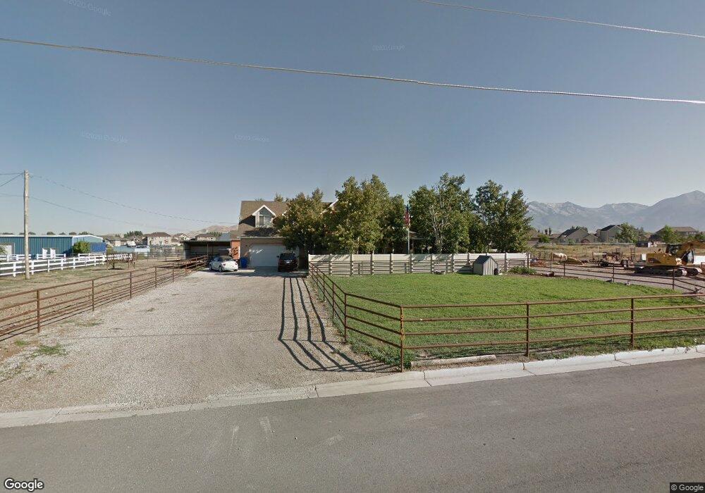
This home is located at 1910 W 900 N, Lehi, UT 84043 and is currently estimated at $1,468,114, approximately $396 per square foot. 1910 W 900 N is a home located in Utah County with nearby schools including North Point Elementary School, Willowcreek Middle School, and Lehi High School.
Ownership History
Date
Name
Owned For
Owner Type
Purchase Details
Closed on
Jan 12, 2023
Sold by
Utah Valley Schools Llc
Bought by
Bailey Properties Llc
Current Estimated Value
Purchase Details
Closed on
Aug 6, 2018
Sold by
Cluff Mark A
Bought by
Utah Valley Schools Llc
Purchase Details
Closed on
Jun 7, 2017
Sold by
Bush Amy and Bush Brian
Bought by
Cluff Mark A
Purchase Details
Closed on
Jun 10, 2013
Sold by
Bush Amy
Bought by
Bush Amy and Bush Brian
Home Financials for this Owner
Home Financials are based on the most recent Mortgage that was taken out on this home.
Original Mortgage
$377,000
Interest Rate
3.32%
Mortgage Type
New Conventional
Purchase Details
Closed on
Nov 30, 2005
Sold by
Louder Jesse L and Louder Suzanne
Bought by
Bush Amy
Create a Home Valuation Report for This Property
The Home Valuation Report is an in-depth analysis detailing your home's value as well as a comparison with similar homes in the area
Home Values in the Area
Average Home Value in this Area
Purchase History
| Date | Buyer | Sale Price | Title Company |
|---|---|---|---|
| Bailey Properties Llc | -- | Gt Title Services | |
| Utah Valley Schools Llc | -- | Integrated Title Ins Svcs | |
| Cluff Mark A | -- | Integrated Title Ins Service | |
| Bush Amy | -- | None Available | |
| Bush Amy | -- | Title West Title Company |
Source: Public Records
Mortgage History
| Date | Status | Borrower | Loan Amount |
|---|---|---|---|
| Previous Owner | Bush Amy | $377,000 |
Source: Public Records
Tax History Compared to Growth
Tax History
| Year | Tax Paid | Tax Assessment Tax Assessment Total Assessment is a certain percentage of the fair market value that is determined by local assessors to be the total taxable value of land and additions on the property. | Land | Improvement |
|---|---|---|---|---|
| 2025 | $14,691 | $1,753,400 | $846,600 | $906,800 |
| 2024 | $14,691 | $1,719,200 | $0 | $0 |
| 2023 | $12,853 | $1,633,100 | $0 | $0 |
| 2022 | $12,475 | $1,536,700 | $801,800 | $734,900 |
| 2021 | $10,932 | $1,119,700 | $451,400 | $668,300 |
| 2020 | $11,059 | $1,119,700 | $451,400 | $668,300 |
| 2019 | $10,321 | $1,086,300 | $418,200 | $668,100 |
| 2018 | $4,309 | $652,100 | $209,500 | $442,600 |
| 2017 | $3,675 | $353,460 | $0 | $0 |
| 2016 | $3,535 | $315,470 | $0 | $0 |
| 2015 | $3,738 | $316,640 | $0 | $0 |
| 2014 | $3,629 | $305,605 | $0 | $0 |
Source: Public Records
Map
Nearby Homes
- 1127 N 1500 W
- 1659 W Boxwood Dr Unit 109
- 1627 W Boxwood Dr Unit 110
- 1032 Titan Dr
- 1132 Titan Dr
- 1542 N 1900 W
- 1302 N 2450 W
- 2512 W 610 N Unit 99
- 1332 W 1500 N
- 373 N Willow Haven Ave
- Accord Plan at Riverwalk
- Interlude Plan at Riverwalk
- Trio Plan at Riverwalk
- Fortissimo Plan at Riverwalk
- Ballad Plan at Riverwalk
- Tenor Plan at Riverwalk
- Madrigal Plan at Riverwalk
- Timpani Plan at Riverwalk
- Canon Plan at Riverwalk
- Browning Plan at Riverwalk
- 1878 W 900 N
- 977 N 1850 W Unit 303
- 1920 W 900 N
- 1864 W 900 N
- 987 N 1850 W
- 9358 W 9200 N
- 978 N 1850 W Unit 302
- 978 N 1850 W
- 1832 W 900 N Unit 3
- 1832 W 900 N
- 1930 W 900 N
- 990 N 1850 W
- 1845 W 900 N
- 995 N 1850 W
- 1881 W 900 N
- 1993 W 900 N
- 1816 W 900 N Unit 17
- 998 N 1850 W
- 1817 W Colony Pointe Dr
- 1810 W 900 N