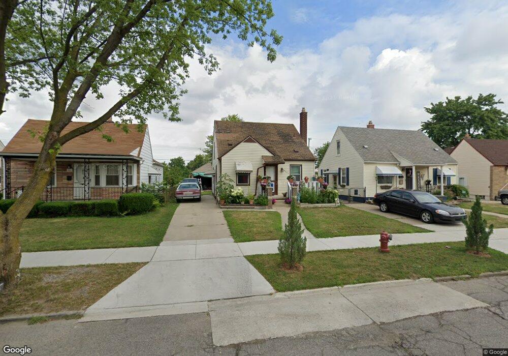
19101 Harman St Melvindale, MI 48122
Estimated Value: $140,336 - $173,000
--
Bed
--
Bath
867
Sq Ft
$182/Sq Ft
Est. Value
About This Home
This home is located at 19101 Harman St, Melvindale, MI 48122 and is currently estimated at $158,084, approximately $182 per square foot. 19101 Harman St is a home located in Wayne County with nearby schools including Rogers Early Elementary School, Allendale Elementary School, and Julian O. Strong Middle School.
Ownership History
Date
Name
Owned For
Owner Type
Purchase Details
Closed on
Mar 22, 2021
Sold by
Sierra Palms Properties Llc
Bought by
Hernandez Meinardo Acuna
Current Estimated Value
Purchase Details
Closed on
Nov 22, 2011
Sold by
Wayne County Treasurer
Bought by
Sierra Palms Properties Llc
Purchase Details
Closed on
Nov 17, 2005
Sold by
Hud
Bought by
Cross Jason
Purchase Details
Closed on
Feb 18, 2005
Sold by
Washington Mutual Bank Fa
Bought by
Hud
Purchase Details
Closed on
Aug 11, 2004
Sold by
Pietrangelo Salvatore
Bought by
Washington Mutual Bank Fa and Washington Mutual Homes Loans
Create a Home Valuation Report for This Property
The Home Valuation Report is an in-depth analysis detailing your home's value as well as a comparison with similar homes in the area
Home Values in the Area
Average Home Value in this Area
Purchase History
| Date | Buyer | Sale Price | Title Company |
|---|---|---|---|
| Hernandez Meinardo Acuna | -- | None Available | |
| Sierra Palms Properties Llc | $7,677 | None Available | |
| Cross Jason | $61,300 | Downriver Title Agency | |
| Hud | -- | -- | |
| Washington Mutual Bank Fa | $85,352 | -- |
Source: Public Records
Tax History Compared to Growth
Tax History
| Year | Tax Paid | Tax Assessment Tax Assessment Total Assessment is a certain percentage of the fair market value that is determined by local assessors to be the total taxable value of land and additions on the property. | Land | Improvement |
|---|---|---|---|---|
| 2025 | $842 | $63,200 | $0 | $0 |
| 2024 | $842 | $52,900 | $0 | $0 |
| 2023 | $802 | $47,300 | $0 | $0 |
| 2022 | $1,559 | $41,600 | $0 | $0 |
| 2021 | $1,511 | $34,400 | $0 | $0 |
| 2020 | $1,506 | $31,600 | $0 | $0 |
| 2019 | $1,396 | $26,700 | $0 | $0 |
| 2018 | $834 | $25,400 | $0 | $0 |
| 2017 | $1,036 | $22,800 | $0 | $0 |
| 2016 | $1,323 | $21,100 | $0 | $0 |
| 2015 | $1,920 | $19,300 | $0 | $0 |
| 2013 | $1,870 | $19,600 | $0 | $0 |
| 2012 | $3,559 | $19,200 | $3,300 | $15,900 |
Source: Public Records
Map
Nearby Homes
- 19052 Harman St
- 19059 Wood St
- 19163 Henry St
- 19167 Henry St
- 18906 Henry St
- 18624 Hanna St
- 18623 Wood St Unit 18623 Wood Street
- 15261 Demean Ave
- 18274 Harman St
- 18295 Henry St
- 18254 Harman St
- 18243 Wood St
- 24558 Outer Dr
- 16958 Cambridge Ave
- 18028 Ruth St
- 000 Harlow St
- 19211 Wall St
- 3603 Harlow Ave
- 15163 University St
- 18949 Wall St
- 19091 Harman St
- 19107 Harman St
- 19083 Harman St
- 19115 Harman St
- 19075 Harman St
- 19123 Harman St
- 19092 Harman St
- 19131 Harman St
- 19067 Harman St
- 19100 Harman St
- 19108 Harman St
- 19084 Harman St
- 19059 Harman St
- 19139 Harman St
- 19116 Harman St
- 19076 Harman St
- 19147 Harman St
- 19051 Harman St
- 19068 Harman St
- 19132 Harman St