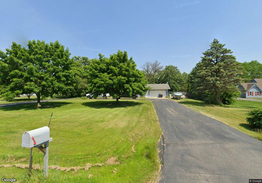
19102 Savage Rd Union Grove, WI 53182
Estimated Value: $428,000 - $508,000
--
Bed
--
Bath
--
Sq Ft
1.1
Acres
About This Home
This home is located at 19102 Savage Rd, Union Grove, WI 53182 and is currently estimated at $463,609. 19102 Savage Rd is a home located in Racine County with nearby schools including Yorkville Elementary School, Union Grove High School, and Union Grove Christian School.
Ownership History
Date
Name
Owned For
Owner Type
Purchase Details
Closed on
May 31, 2018
Sold by
Krause Robert L
Bought by
Axtell Joseph W and Axtell Marcy J
Current Estimated Value
Home Financials for this Owner
Home Financials are based on the most recent Mortgage that was taken out on this home.
Original Mortgage
$236,499
Outstanding Balance
$204,070
Interest Rate
4.4%
Mortgage Type
New Conventional
Estimated Equity
$259,539
Create a Home Valuation Report for This Property
The Home Valuation Report is an in-depth analysis detailing your home's value as well as a comparison with similar homes in the area
Home Values in the Area
Average Home Value in this Area
Purchase History
| Date | Buyer | Sale Price | Title Company |
|---|---|---|---|
| Axtell Joseph W | $262,800 | Chicago Title |
Source: Public Records
Mortgage History
| Date | Status | Borrower | Loan Amount |
|---|---|---|---|
| Open | Axtell Joseph W | $236,499 |
Source: Public Records
Tax History Compared to Growth
Tax History
| Year | Tax Paid | Tax Assessment Tax Assessment Total Assessment is a certain percentage of the fair market value that is determined by local assessors to be the total taxable value of land and additions on the property. | Land | Improvement |
|---|---|---|---|---|
| 2024 | $3,947 | $279,800 | $71,500 | $208,300 |
| 2023 | $3,862 | $279,800 | $71,500 | $208,300 |
| 2022 | $3,992 | $279,800 | $71,500 | $208,300 |
| 2021 | $3,853 | $279,800 | $71,500 | $208,300 |
| 2020 | $4,336 | $259,500 | $48,800 | $210,700 |
| 2019 | $4,449 | $259,500 | $48,800 | $210,700 |
| 2018 | $3,763 | $231,900 | $48,800 | $183,100 |
| 2017 | $3,592 | $231,900 | $48,800 | $183,100 |
| 2016 | $3,711 | $231,900 | $48,800 | $183,100 |
| 2015 | $4,201 | $231,900 | $48,800 | $183,100 |
| 2014 | $4,104 | $231,900 | $48,800 | $183,100 |
| 2013 | $4,297 | $231,900 | $48,800 | $183,100 |
Source: Public Records
Map
Nearby Homes
- Lt89 W Kiddle Ln
- Lt99 W Kiddle Ln
- Lt106 W Kiddle Ln
- Lt101 W Kiddle Ln
- Lt103 W Kiddle Ln
- Lt87 W Kiddle Ln
- Lt91 W Kiddle Ln
- Lt93 W Kiddle Ln
- Lt84 Valley Hill Ln
- Lt116 Hill Dr
- Lt83 Valley Hill Ln
- Lt2 Plank Rd
- 1034 58th Rd
- 1036 58th Rd
- 1044 58th Rd Unit 23
- 1038 58th Rd
- The Carrington Plan at Canopy Hill - The Estates of Canopy Hill
- The Delilah Plan at Canopy Hill - The Estates of Canopy Hill
- The Kendal Plan at Canopy Hill - The Estates of Canopy Hill
- The Wellington Plan at Canopy Hill - The Estates of Canopy Hill
- 19028 Savage Rd
- 19110 Savage Rd
- 19014 Savage Rd
- 707 Log Cabin Dr
- 19128 Savage Rd
- 19006 Savage Rd
- 720 Log Cabin Dr
- 721 Log Cabin Dr
- 706 Log Cabin Dr
- 733 Log Cabin Dr
- 19207 Savage Rd
- 19220 Savage Rd
- 611 S Colony Ave
- 803 Log Cabin Dr
- 804 Log Cabin Dr
- 19221 Savage Rd
- 817 Log Cabin Dr
- 816 Log Cabin Dr
- 19026 52nd Rd
- 19214 52nd Rd