19105 Saint Abrahams Ct Hampstead, MD 21074
Estimated Value: $387,678 - $498,000
--
Bed
1
Bath
1,452
Sq Ft
$304/Sq Ft
Est. Value
About This Home
This home is located at 19105 Saint Abrahams Ct, Hampstead, MD 21074 and is currently estimated at $441,670, approximately $304 per square foot. 19105 Saint Abrahams Ct is a home located in Baltimore County with nearby schools including Fifth District Elementary School, Hereford Middle School, and Hereford High School.
Ownership History
Date
Name
Owned For
Owner Type
Purchase Details
Closed on
Jun 20, 2005
Sold by
Gavazzi Robert E
Bought by
Bell Lynn and Bell Dennis
Current Estimated Value
Home Financials for this Owner
Home Financials are based on the most recent Mortgage that was taken out on this home.
Original Mortgage
$36,700
Interest Rate
5.78%
Mortgage Type
Credit Line Revolving
Purchase Details
Closed on
Apr 21, 1994
Sold by
Lynch Kenneth L
Bought by
Gavazzi Robert E
Home Financials for this Owner
Home Financials are based on the most recent Mortgage that was taken out on this home.
Original Mortgage
$142,500
Interest Rate
7.6%
Purchase Details
Closed on
Dec 2, 1977
Sold by
Carmody Kenneth Ag Use 83-84
Bought by
Lynch Kenneth L
Create a Home Valuation Report for This Property
The Home Valuation Report is an in-depth analysis detailing your home's value as well as a comparison with similar homes in the area
Home Values in the Area
Average Home Value in this Area
Purchase History
| Date | Buyer | Sale Price | Title Company |
|---|---|---|---|
| Bell Lynn | $367,500 | -- | |
| Gavazzi Robert E | $150,000 | -- | |
| Lynch Kenneth L | $9,800 | -- |
Source: Public Records
Mortgage History
| Date | Status | Borrower | Loan Amount |
|---|---|---|---|
| Closed | Bell Lynn | $36,700 | |
| Previous Owner | Gavazzi Robert E | $142,500 |
Source: Public Records
Tax History Compared to Growth
Tax History
| Year | Tax Paid | Tax Assessment Tax Assessment Total Assessment is a certain percentage of the fair market value that is determined by local assessors to be the total taxable value of land and additions on the property. | Land | Improvement |
|---|---|---|---|---|
| 2025 | $3,300 | $310,100 | $147,300 | $162,800 |
| 2024 | $3,300 | $296,133 | $0 | $0 |
| 2023 | $1,640 | $282,167 | $0 | $0 |
| 2022 | $3,221 | $268,200 | $127,100 | $141,100 |
| 2021 | $3,111 | $264,167 | $0 | $0 |
| 2020 | $3,111 | $260,133 | $0 | $0 |
| 2019 | $3,086 | $256,100 | $127,100 | $129,000 |
| 2018 | $2,999 | $247,033 | $0 | $0 |
| 2017 | $2,889 | $237,967 | $0 | $0 |
| 2016 | $2,161 | $228,900 | $0 | $0 |
| 2015 | $2,161 | $228,900 | $0 | $0 |
| 2014 | $2,161 | $228,900 | $0 | $0 |
Source: Public Records
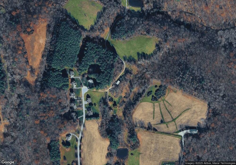
Map
Nearby Homes
- 19416 Gunpowder Rd
- 18906 Falls Rd
- 18626 Gunpowder Rd
- 4929 Millers Station Rd
- 3615 Rockdale Rd
- 4843 Millers Station Rd
- 0 Falls Rd Unit MDCR2017070
- 18423 Foreston Rd
- 18400 Foreston Rd
- 18401 Foreston Rd
- 18319 Foreston Rd
- 163 Gorsuch Rd
- 18310 Upper Beckleysville Rd
- 2439 Fairmount Rd Unit 35
- 3808 Falls Rd
- 3923 Falls Rd
- 0 Dave Rill Rd
- 2461 Fairmount Rd
- 2472 Fairway Oaks Ct
- 3786 N Carroll Ln
- 19103 Saint Abrahams Ct
- 19111 Saint Abrahams Ct
- 19101 Saint Abrahams Ct
- 19108 Saint Abrahams Ct
- 19108 St Abrahams Ct
- 19104 Saint Abrahams Ct
- 19106 Saint Abrahams Ct
- 19102 Saint Abrahams Ct
- 19110 Saint Abrahams Ct
- 19100 Saint Abrahams Ct
- 4100 Beckleysville Rd
- 19050 Saint Abrahams Ct
- 19050 Saint Abrahams Ct
- 4124 Beckleysville Rd
- 19109 Saint Abrahams Ct
- 4201 Beckleysville Rd
- 4207 Beckleysville Rd
- 4218 Beckleysville Rd
- 4218 Beckleysville Rd
- 4218 Beckleysville Rd