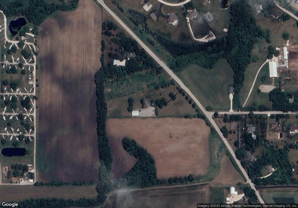
19109 Harmony Rd Marengo, IL 60152
Riley NeighborhoodEstimated Value: $427,000 - $581,000
4
Beds
2
Baths
2,800
Sq Ft
$187/Sq Ft
Est. Value
About This Home
This home is located at 19109 Harmony Rd, Marengo, IL 60152 and is currently estimated at $522,421, approximately $186 per square foot. 19109 Harmony Rd is a home located in McHenry County with nearby schools including Riley Community Consolidated School District 18 and Marengo Community High School.
Ownership History
Date
Name
Owned For
Owner Type
Purchase Details
Closed on
Dec 5, 2017
Sold by
Szara Stanley and Szara Susan
Bought by
Ameskamp Kyle A
Current Estimated Value
Home Financials for this Owner
Home Financials are based on the most recent Mortgage that was taken out on this home.
Original Mortgage
$252,000
Outstanding Balance
$213,141
Interest Rate
4.12%
Mortgage Type
New Conventional
Estimated Equity
$309,280
Purchase Details
Closed on
Jul 15, 2010
Sold by
Szara Susan A and Szara Stanley J
Bought by
Szara Stanley J and Szara Susan A
Create a Home Valuation Report for This Property
The Home Valuation Report is an in-depth analysis detailing your home's value as well as a comparison with similar homes in the area
Home Values in the Area
Average Home Value in this Area
Purchase History
| Date | Buyer | Sale Price | Title Company |
|---|---|---|---|
| Ameskamp Kyle A | -- | None Available | |
| Szara Stanley J | -- | None Available |
Source: Public Records
Mortgage History
| Date | Status | Borrower | Loan Amount |
|---|---|---|---|
| Open | Ameskamp Kyle A | $252,000 |
Source: Public Records
Tax History
| Year | Tax Paid | Tax Assessment Tax Assessment Total Assessment is a certain percentage of the fair market value that is determined by local assessors to be the total taxable value of land and additions on the property. | Land | Improvement |
|---|---|---|---|---|
| 2024 | $6,983 | $144,497 | $55,938 | $88,559 |
| 2023 | $8,753 | $130,672 | $50,586 | $80,086 |
| 2022 | $8,740 | $118,847 | $46,008 | $72,839 |
| 2021 | $6,260 | $112,067 | $43,383 | $68,684 |
| 2020 | $8,600 | $109,174 | $42,263 | $66,911 |
| 2019 | $9,193 | $104,452 | $40,435 | $64,017 |
| 2018 | $8,665 | $99,687 | $38,590 | $61,097 |
| 2017 | $6,889 | $96,213 | $37,245 | $58,968 |
| 2016 | $7,097 | $92,548 | $35,826 | $56,722 |
| 2013 | -- | $87,194 | $33,753 | $53,441 |
Source: Public Records
Map
Nearby Homes
- 10979 Ernest Dr
- 10817 Hill Crest Ln
- LOT 3 Henry St
- Lot 4 Henry St
- 18013 Saint Andrews Dr
- 0 Church Rd Unit MRD12107441
- 10006 Saint Andrews Dr
- 8808 S Hill Rd
- 18708 Beck Rd
- 10509 Henning Dr
- 10415 Henning Dr
- 10502 Henning Dr
- 10201 Henning Dr
- 10408 Henning Dr
- 10701 Clearwater Way
- 10705 Clearwater Way
- 10702 Clearwater Way
- 10208 Henning Dr
- 10309 Ellery Ln
- 10108 Henning Dr
- 19131 Harmony Rd
- 19205 Lauren Ln
- 19114 Harmony Rd
- 19201 Lauren Ln
- 19119 Lauren Ln
- 19211 Lauren Ln
- 19019 Royal Ln
- 19044 Harmony Rd
- 19113 Lauren Ln
- 19217 Lauren Ln
- 19609 Harmony Rd
- 19209 Frank Ln
- 18927 Royal Ln
- 19040 Harmony Rd
- 19403 Harmony Rd
- 19203 Frank Ln
- 10661 Ridge Ln
- 18893 Royal Ln
- 19109 Lauren Ln
- 19302 Frank Ln
Your Personal Tour Guide
Ask me questions while you tour the home.
