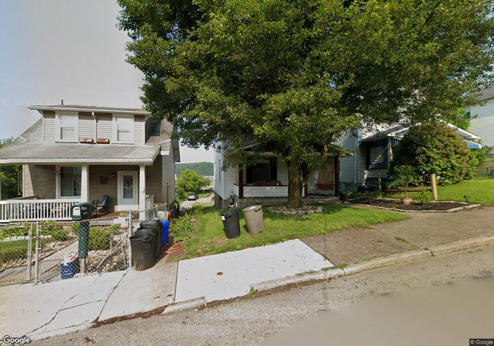
1911 Alcoa Dr New Kensington, PA 15068
Estimated Value: $58,000 - $79,927
--
Bed
--
Bath
--
Sq Ft
3,572
Sq Ft Lot
About This Home
This home is located at 1911 Alcoa Dr, New Kensington, PA 15068 and is currently estimated at $71,232. 1911 Alcoa Dr is a home with nearby schools including Mary Queen of Apostles School.
Ownership History
Date
Name
Owned For
Owner Type
Purchase Details
Closed on
Dec 12, 2023
Sold by
Meredith Charles B and Meredith Tamatha A
Bought by
Meredith Charles B and Meredith Mason E
Current Estimated Value
Home Financials for this Owner
Home Financials are based on the most recent Mortgage that was taken out on this home.
Original Mortgage
$78,551
Outstanding Balance
$77,232
Interest Rate
7.44%
Mortgage Type
FHA
Estimated Equity
-$6,000
Purchase Details
Closed on
Dec 10, 2013
Sold by
Meredith Josephine M and Meredith Charles
Bought by
Meredith Charles B
Purchase Details
Closed on
Mar 18, 2013
Sold by
Russo Jennie
Bought by
Russo Jennie and Meredith Josephinem
Create a Home Valuation Report for This Property
The Home Valuation Report is an in-depth analysis detailing your home's value as well as a comparison with similar homes in the area
Home Values in the Area
Average Home Value in this Area
Purchase History
| Date | Buyer | Sale Price | Title Company |
|---|---|---|---|
| Meredith Charles B | -- | None Listed On Document | |
| Meredith Charles B | -- | None Available | |
| Russo Jennie | -- | None Available |
Source: Public Records
Mortgage History
| Date | Status | Borrower | Loan Amount |
|---|---|---|---|
| Open | Meredith Charles B | $78,551 |
Source: Public Records
Tax History Compared to Growth
Tax History
| Year | Tax Paid | Tax Assessment Tax Assessment Total Assessment is a certain percentage of the fair market value that is determined by local assessors to be the total taxable value of land and additions on the property. | Land | Improvement |
|---|---|---|---|---|
| 2025 | $1,658 | $9,690 | $2,100 | $7,590 |
| 2024 | $1,644 | $9,690 | $2,100 | $7,590 |
| 2023 | $1,561 | $9,690 | $2,100 | $7,590 |
| 2022 | $1,517 | $9,690 | $2,100 | $7,590 |
| 2021 | $1,485 | $9,690 | $2,100 | $7,590 |
| 2020 | $1,456 | $9,690 | $2,100 | $7,590 |
| 2019 | $1,451 | $9,690 | $2,100 | $7,590 |
| 2018 | $1,432 | $9,690 | $2,100 | $7,590 |
| 2017 | $1,432 | $9,690 | $2,100 | $7,590 |
| 2016 | $1,432 | $9,690 | $2,100 | $7,590 |
| 2015 | $1,432 | $9,690 | $2,100 | $7,590 |
| 2014 | $1,382 | $9,690 | $2,100 | $7,590 |
Source: Public Records
Map
Nearby Homes
- 2004 Woodmont Ave
- 1915 Woodmont Ave
- 1909 Woodmont Ave
- 2004 Victoria Ave
- 1802 Alcoa Dr
- 1820 Victoria Ave
- 1407 Drey St Unit 29
- 1809 Kimball Ave
- 2105 Victoria Ave
- 1802 Kimball Ave
- 2016 Kenneth Ave
- 344 Iroquois Dr
- 1735 Kimball Ave
- 2015 Kenneth Ave
- 1818 Kenneth Ave
- 1741 Freeport Rd Unit U
- 2112 Kenneth Ave
- 2014 Constitution Blvd
- 1717 Ridge Ave
- 1719 Freeport Rd