1911 Auburndale Ave West Bloomfield, MI 48324
Estimated Value: $495,765 - $734,000
2
Beds
3
Baths
2,474
Sq Ft
$235/Sq Ft
Est. Value
About This Home
This home is located at 1911 Auburndale Ave, West Bloomfield, MI 48324 and is currently estimated at $580,191, approximately $234 per square foot. 1911 Auburndale Ave is a home located in Oakland County with nearby schools including Waterford Montessori Academy, Our Lady Of Refuge School, and Lakecrest Baptist School.
Ownership History
Date
Name
Owned For
Owner Type
Purchase Details
Closed on
Oct 26, 2004
Sold by
Robbins Ray C and Robbins Rose Marie A
Bought by
Sell Eric and Sell Sharon A Mcnab
Current Estimated Value
Home Financials for this Owner
Home Financials are based on the most recent Mortgage that was taken out on this home.
Original Mortgage
$230,000
Outstanding Balance
$114,930
Interest Rate
5.8%
Mortgage Type
Purchase Money Mortgage
Estimated Equity
$465,261
Create a Home Valuation Report for This Property
The Home Valuation Report is an in-depth analysis detailing your home's value as well as a comparison with similar homes in the area
Home Values in the Area
Average Home Value in this Area
Purchase History
| Date | Buyer | Sale Price | Title Company |
|---|---|---|---|
| Sell Eric | $321,000 | Metropolitan Title Company |
Source: Public Records
Mortgage History
| Date | Status | Borrower | Loan Amount |
|---|---|---|---|
| Open | Sell Eric | $230,000 |
Source: Public Records
Tax History Compared to Growth
Tax History
| Year | Tax Paid | Tax Assessment Tax Assessment Total Assessment is a certain percentage of the fair market value that is determined by local assessors to be the total taxable value of land and additions on the property. | Land | Improvement |
|---|---|---|---|---|
| 2024 | $3,416 | $225,970 | $0 | $0 |
| 2022 | $3,271 | $188,930 | $56,940 | $131,990 |
| 2021 | $4,994 | $175,970 | $0 | $0 |
| 2020 | $3,205 | $170,510 | $56,940 | $113,570 |
| 2018 | $4,818 | $163,820 | $71,180 | $92,640 |
| 2015 | -- | $131,440 | $0 | $0 |
| 2014 | -- | $117,920 | $0 | $0 |
| 2011 | -- | $118,650 | $0 | $0 |
Source: Public Records
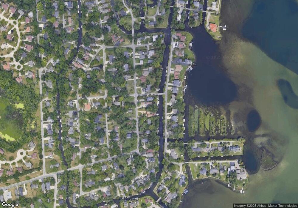
Map
Nearby Homes
- 1677 Parkview Ave
- 2115 Aldwin Dr
- 5145 Greer Rd
- 5149 Latimer St
- 1522 Oregon Ct
- 4098 Parkway
- 4764 Dow Ridge Rd
- 4796 Dow Ridge Rd
- 1859 Poppleton Dr
- 1753 Dawncrest Dr
- 4041 Chenlot Ln
- 1844 Poppleton Dr
- 1575 Parkway
- 00000 Muskingum
- 1036 Pelham Blvd
- 4275 Forest Valley Ct
- 1265 Oregon Blvd
- 2110 Peachtree Ct
- 1062 Forest Bay Dr
- 5094 Coshocton Dr
- 1909 Auburndale Ave
- 1935 Auburndale Ave
- 00000 Auburndale Ave
- 1891 Auburndale Ave
- 1928 Auburndale Ave
- 1951 Auburndale Ave
- 4719 Algonquin Ave
- 1859 Auburndale Ave
- 1965 Auburndale Ave Unit Bldg-Unit
- 1965 Auburndale Ave
- 1897 Windside Dr
- 4727 Algonquin Ave
- 1952 Auburndale Ave
- 4728 Algonquin Ave
- 1943 Windside Dr
- 1981 Auburndale Ave
- 1885 Windside Dr
- 1951 Windside Dr
- 4741 Algonquin Ave
- 1841 Auburndale Ave