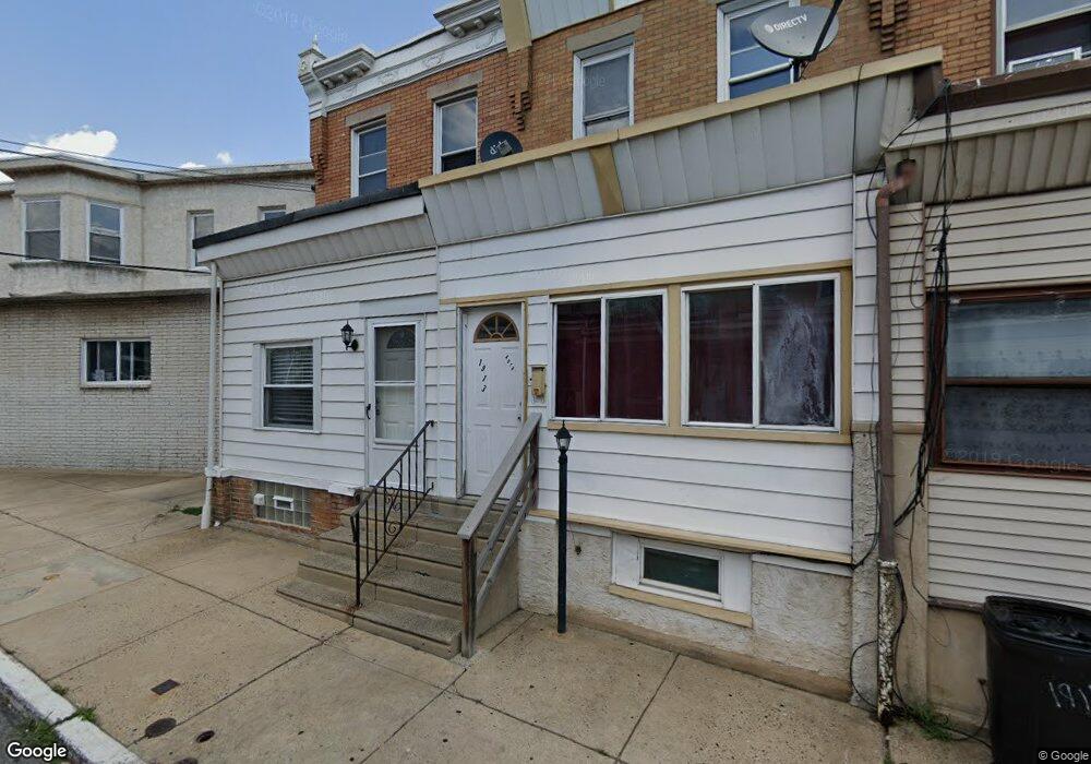
1911 Auth St Philadelphia, PA 19124
Frankford NeighborhoodEstimated Value: $90,000 - $139,000
2
Beds
1
Bath
840
Sq Ft
$132/Sq Ft
Est. Value
About This Home
This home is located at 1911 Auth St, Philadelphia, PA 19124 and is currently estimated at $111,114, approximately $132 per square foot. 1911 Auth St is a home located in Philadelphia County with nearby schools including Allen M. Stearne School, Frankford High School, and First Philadelphia Preparatory Charter School.
Ownership History
Date
Name
Owned For
Owner Type
Purchase Details
Closed on
Apr 9, 2010
Sold by
Acevedo Mario
Bought by
Vargas Nancy L
Current Estimated Value
Home Financials for this Owner
Home Financials are based on the most recent Mortgage that was taken out on this home.
Original Mortgage
$49,094
Outstanding Balance
$32,617
Interest Rate
4.95%
Mortgage Type
FHA
Estimated Equity
$78,497
Purchase Details
Closed on
Mar 4, 2004
Sold by
Skoczalek Henry P and Skoczalek Nancy J
Bought by
Brzycki Helen and Brzycki Terrance
Create a Home Valuation Report for This Property
The Home Valuation Report is an in-depth analysis detailing your home's value as well as a comparison with similar homes in the area
Home Values in the Area
Average Home Value in this Area
Purchase History
| Date | Buyer | Sale Price | Title Company |
|---|---|---|---|
| Vargas Nancy L | $50,000 | Old Republic National Title | |
| Brzycki Helen | $10,000 | -- |
Source: Public Records
Mortgage History
| Date | Status | Borrower | Loan Amount |
|---|---|---|---|
| Open | Vargas Nancy L | $49,094 |
Source: Public Records
Tax History Compared to Growth
Tax History
| Year | Tax Paid | Tax Assessment Tax Assessment Total Assessment is a certain percentage of the fair market value that is determined by local assessors to be the total taxable value of land and additions on the property. | Land | Improvement |
|---|---|---|---|---|
| 2025 | $770 | $75,400 | $15,080 | $60,320 |
| 2024 | $770 | $75,400 | $15,080 | $60,320 |
| 2023 | $770 | $55,000 | $11,000 | $44,000 |
| 2022 | $244 | $17,400 | $11,000 | $6,400 |
| 2021 | $526 | $0 | $0 | $0 |
| 2020 | $526 | $0 | $0 | $0 |
| 2019 | $505 | $0 | $0 | $0 |
| 2018 | $431 | $0 | $0 | $0 |
| 2017 | $431 | $0 | $0 | $0 |
| 2016 | $11 | $0 | $0 | $0 |
| 2015 | $192 | $0 | $0 | $0 |
| 2014 | -- | $44,300 | $7,478 | $36,822 |
| 2012 | -- | $6,048 | $476 | $5,572 |
Source: Public Records
Map
Nearby Homes
- 4034 80 Orchard St
- 1922 Ruan St
- 4251 Tackawanna St
- 4255-57 Orchard St
- 4123 Orchard St
- 4134-36 Orchard St
- 4147 Paul St
- 4184 Paul St
- 1901 Berkshire St
- 4267 Paul St
- 1818 Church St
- 4270 Paul St
- 4331 Waln St
- 4410 Waln St
- 4412 Waln St
- 4283 Frankford Ave
- 4347 Paul St
- 4229 Romain St
- 1519 Womrath St
- 4229 Griscom St